Our world looks gorgeous from space this weekend
Satellite imagery is a treat even on the quietest weather days
We’re just over 10 per cent of the way through 2026 and we’ve seen some rambunctious weather over the past five-and-a-half weeks.
Toronto saw its snowiest day on record during an epic storm on Jan. 25. A community in Alberta notched the year’s first 20°C reading thanks to a formidable bout of Chinook winds. Meanwhile, Vancouver hasn’t seen any snow yet this season.
Even for all the spells of active weather we deal with on a regular basis, there’s still so much to admire about our skies above on the mundane days, as well.
DON’T MISS: The Great Lakes freezing over is good news for Ontario

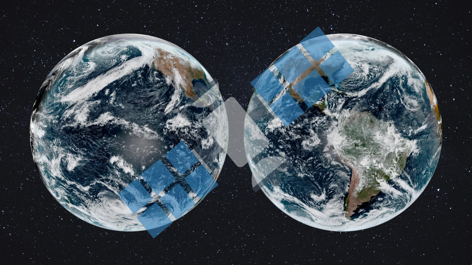
GOES-East and GOES-West are NOAA’s two workhorse satellites that keep a near-realtime watch over our half of the world.
Locked in geostationary orbit more than 35,000 km above the equator, hardly a cloud can pass the horizon without being spotted and analyzed.

The atmospheric river responsible for rainy conditions across British Columbia’s South Coast this weekend looks downright impressive from space.
Clouds trace the flow of moisture from deep within the tropics, passing over Hawaii on the way toward the West Coast. The low-pressure system helping to drag that moisture north looks satisfyingly swirly as it winds down over the Gulf of Alaska.

Satellites don’t just pick up what’s above our heads. Visible imagery can even see snowpack (or a lack thereof) on the ground.
Almost the entire western United States is enduring a historic snow drought this winter, with snowpack levels reaching lows not seen for decades. The amount of snow on the ground across Colorado is currently the lowest since at least 1987.

Moving east, we had a gorgeously clear view of the Great Lakes region in all its wintry splendour on Saturday.
Ice coverage has steadily increased across all five lakes amid the frigid temperatures over the past few weeks. The exposed lakes are still producing lake-effect snow and lake-effect clouds downwind as bitterly cold air sweeps the region again this weekend.

Those frigid winds kept travelling south. Folks in Cuba have seen unseasonably cold temperatures in recent days after a series of cold fronts swept into the region.
A weather station located near the centre of the island reportedly reached 0.0°C on the morning of Feb. 3, which would be the coldest temperature ever observed in Cuba.
Cloud streets are visible over the island this weekend as daytime heating causes pockets of air to rise, which are then organized into rows by northerly winds.

The western shores of South America are always a treat to observe on satellite imagery. Very cold ocean waters over the region keep the atmosphere exceptionally stable in this part of the world.
This stability helps build unique cloud patterns off the coast of Chile just about every day. It’s common to see intricate swirls and eddies develop in the clouds as winds influence the patterns.
Header image created using graphics and imagery from NOAA and Canva.
