Powerful nor’easter to dump up to 40 cm of snow across Atlantic Canada
Prepare for blizzard-like conditions across parts of Atlantic Canada as a strong nor’easter reaches the region late this weekend
Meteorologists are closely watching a powerful East Coast storm that is projected to intensify as it moves north toward Atlantic Canada late this weekend.
The system, also known as a nor'easter, is expected to track from the eastern U.S. into New England before reaching Atlantic Canada on Sunday.
As it strengthens over the Atlantic, the storm has the potential to dump heavy snow and strong winds on the southern Maritimes and Newfoundland.
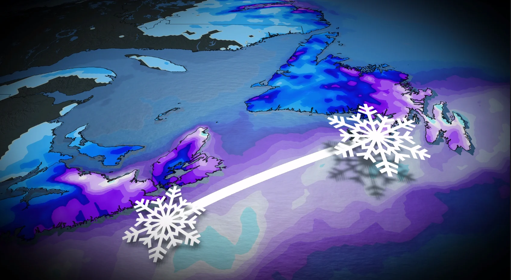
Snowfall totals of 20 to 40 cm are possible across parts of the region, with over 40 cm most likely in the hardest-hit areas of Newfoundland.

RELATED: Canada's February outlook is here
Nova Scotia impacts begin Sunday evening
Snowfall and strong winds are expected to hit Nova Scotia late Sunday afternoon, reaching the South Shore, Yarmouth region and Halifax Metro area between 5 and 7 p.m.
Fall rates are expected to increase overnight, reaching 2 to 3 cm per hour, while wind gusts of 60 to 90 km/h may cause significantly reduced visibility.
Whiteouts and blizzard conditions are possible on Sunday night, leaving travel hazardous, especially along exposed coastal routes.

DON'T MISS: What's the deal with Groundhog day?
Hazardous travel, closures possible into Monday
On Monday, the storm is expected to move eastward into Newfoundland, where it will have a greater impact.
Snowfall amounts could rise to 3 to 5 cm per hour, combined with wind gusts of 60 to 90 km/h, leading to hazardous winter travel conditions and near-zero visibility at times.
Some schools will likely be closed on Monday morning and afternoon due to rapidly accumulating snow and powerful winds.
While there is high confidence that a significant winter storm will hit Atlantic Canada, the storm's exact path remains uncertain. A slight shift offshore could reduce snowfall totals in coastal Nova Scotia if certain of the heaviest moisture remains over the ocean.

Forecasters continue to monitor the system and encourage residents to be prepared for worsening travel conditions and possible delays.
Stay with The Weather Network for the latest updates across Atlantic Canada