An unusual late September warm-up hits this part of Canada
Northern Prairies see significant warm-up as Omega block develops over Canada
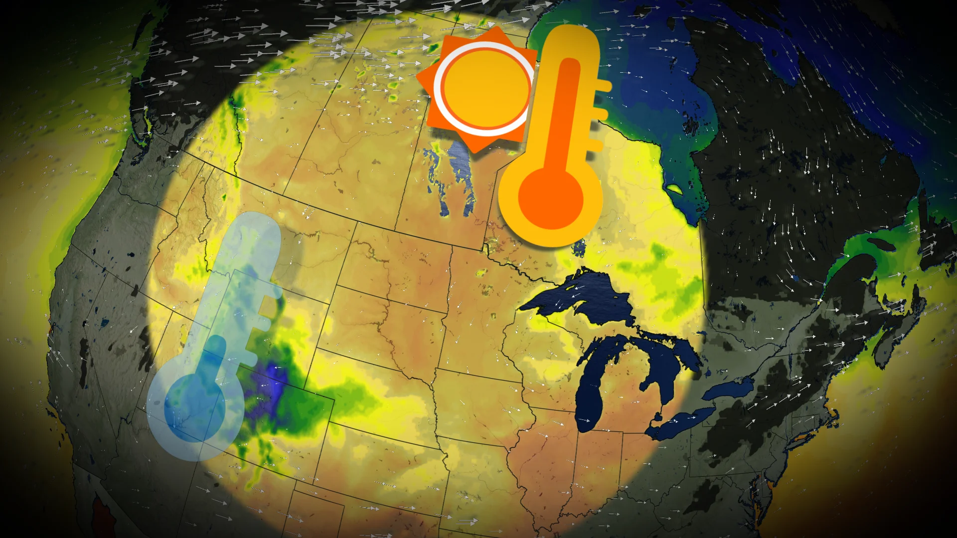
Temperatures across the northern Prairies are set for a dramatic rise, driven by a developing Omega block that centres high pressure across Canada. This ridge in the jet stream is creating a southerly flow, bringing significantly warmer air into northern Manitoba, Saskatchewan, and even southern Nunavut.
Visit our Complete Guide to Fall 2025 for an in depth look at the Fall Forecast, tips to plan for it and much more!
On Tuesday, areas across the northern Prairies will see temperatures that sit 10–15°C above seasonal norms.

In fact, temperatures in these regions are expected to outpace cities like Denver and Colorado Springs, which are currently experiencing below-seasonal temperatures due to a strong cold front.
This cold front is allowing northwesterly winds to bring rainfall and cooler conditions to parts of the U.S.

The above-seasonal warmth isn’t expected to be short-lived, either.
Over the next 10 days, warmer-than-seasonal temperatures will persist for much of the country.
DON'T MISS: Canada races to the end of summer as final 30-degree temperature nears

The most significant anomaly, however, will be centred near Hudson Bay, where the warm pattern is set to linger.
Be sure to check back for the latest weather conditions in your area.