Bundle up: Polar vortex helps kick off winter for much of Canada
Multiple doses of Arctic air will bring significantly cold weather to much of Canada as we head into the start of meteorological winter
Dec. 1 marks the first day of meteorological winter, even though for many across Canada, it already feels like it.
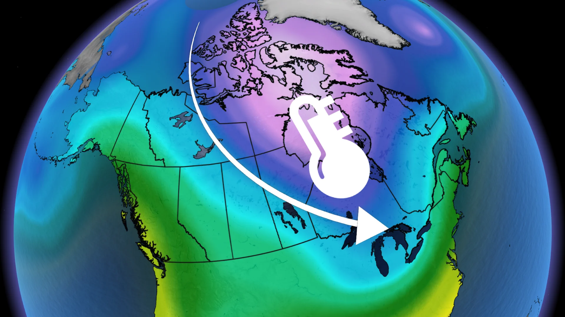
We'll see November end and December begin across the country with the return of everyone's favourite winter term: polar vortex.
A strong Pacific ridge off the B.C. coast will help displace a piece of the vortex, supplying bursts of cold Arctic air across Canada
RELATED: La Niña and the polar vortex set to deliver a truly Canadian winter

You're in luck if you're in British Columbia, however, as the warm Pacific air and ridging will help shield folks from the cold and keep temperatures closer to seasonal.
The eastern Prairies, as well as Eastern Canada, won't have such luck, unfortunately.
Part of the Prairies to feel a deep freeze
Windy conditions over the Prairies throughout the weekend will make the already chilly temperatures feel even colder.
Feels-like values will range between -10 and -25 across the provinces on Saturday. By Sunday, we'll see some warmer temperatures gradually slide from west to east.
The respite from the cold won't last very long, though, as we'll see another shot of Arctic air slide down to the eastern Prairies and northwestern Ontario by midweek. With the wind chill, it will feel like -10 to -30.
Northern Manitoba will be hit especially hard by the Arctic air, and it's here we're most likely to see those wind chills reach -30.

Cold air close behind the snow in Ontario and Quebec
Winter weather has already made its debut in Ontario and Quebec after rounds of heavy snow fell over the provinces to end November.
Another snowy system will make its way through Ontario on Sunday, then moving into southern Quebec. Once that system has passed, we'll see daytime temperatures in southern Ontario steadily drop below freezing for the first week of December.
SEE ALSO: When is the cold too cold? How extreme cold warnings are issued
With some lingering winds, major cities such as Windsor, Toronto, Ottawa, and Montreal will see temperatures feel more like -5 to -15.
Meanwhile, northern Ontario has already been braving the sub-zero temperatures and will only feel it get colder. In fact, some of the coldest air from this outbreak will be over northern Ontario. Like Manitoba, wind chills could reach -10 to -30.
Similar to the eastern Prairies, we'll see a second burst of Arctic air by the mid- to late week. This round will bring the coldest weather so far of the season.
Atlantic Canada fights back against the cold: Who will win?
Mild air over Atlantic Canada will try to fight back against the cold Arctic air through the weekend and into the workweek.
By the end of the week, however, the cold air is forecast to overtake the mild air in the Maritimes, winning the battle and sending temperatures down below freezing.
Wind chills will come into play and make it feel like -10 to -20 across the region, including cities like Fredericton and Halifax.
Farther north, Newfoundland and Labrador don't stand much chance to fight back against the Arctic burst.
Due to the long-range nature of this event, there is still some uncertainty about what the exact temperatures will end up being, but forecasters are confident that the Arctic air will dominate over most of the country to kick off December.
Stay with The Weather Network for more information and updates on your weather across Canada.
