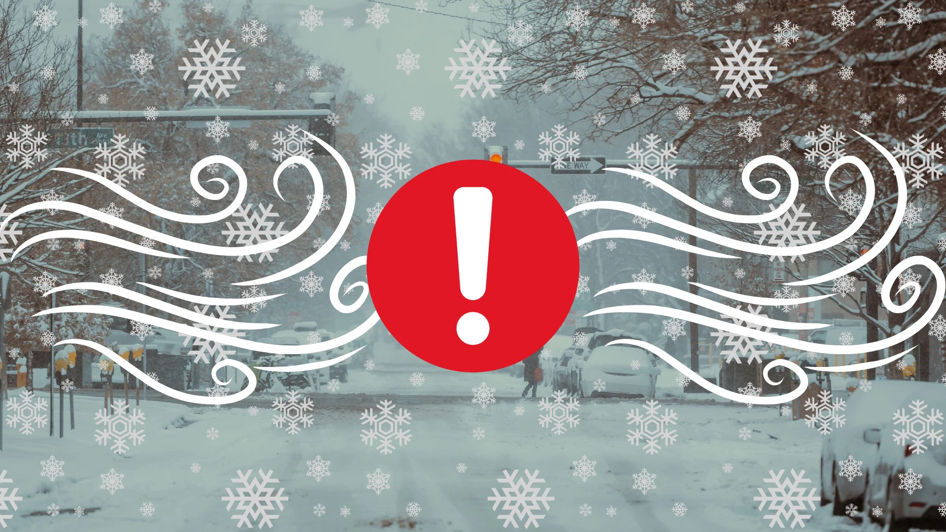
Conditions deteriorating as holiday blizzard hits Newfoundland
Expect near-zero visibility and significant snowfall totals as a major storm affects parts of Newfoundland through Christmas and Boxing Day
A memorable holiday is in the making across parts of Newfoundland as a highly impactful storm moves into the region.
Blizzard conditions and significant snowfall totals are expected as we move through the first half of the long holiday weekend.
Conditions will continue to deteriorate through Christmas Day. A second storm arriving for Boxing Day on Friday will bring additional accumulations and the potential for prolonged blizzard conditions.
DON’T MISS: What turns a raging snowstorm into a blizzard?
Significant impacts are expected
Holiday travellers can expect slick, snow-covered roads as they head out and about over the next couple of days. Whiteout conditions and deep accumulations will make for near-impossible travel conditions at times.
High winds could also lead to potential power outages and tree damage throughout the region.
Christmas Day blizzard unfolding in eastern Newfoundland
Heavy snow started across eastern Newfoundland, including the Avalon Peninsula, early on Thursday morning. Expect snowfall rates and wind gusts to intensify through the morning hours.

Snowfall rates of 2-4+ cm per hour are in the forecast for the Avalon during the height of the storm Thursday morning, along with wind gusts of 70-90+ km/h. Exposed coastal communities will experience the highest gusts.
Rising temperatures on the eastern side of the storm will force St. John’s to transition over to rain by Thursday afternoon.

We’ll see heavy snow and blizzard conditions move toward Newfoundland’s north coast, where we could see some sea-effect enhancement of snowfall totals across the region.
While exact amounts will depend on where the heaviest bands set up, snowfall totals could range between 20-40+ cm with this Christmas Day storm.
A second impactful storm arrives for Boxing Day on Friday
No rest for the weary in Newfoundland as a second storm arrives hot on the first system’s heels, taking a similar track that will spread another healthy swath of snow across the Avalon.
This second system will move even slower, providing the potential for even greater snowfall accumulations.
There is also a higher likelihood of this storm retrograding over Newfoundland, turning the initial blizzard conditions into rain for the eastern half of the island.
If the warm air remains offshore, however, high winds over the existing snowpack from Thursday’s initial storm could result in prolonged blizzard conditions on Saturday.

Portions of central and northeastern Newfoundland could see an additional 25-40+ cm of snow from the second storm on Boxing Day. It’s possible that communities like Gander, Badger, and Twillingate end up with more than 50 cm of snow in total by Saturday.
Coastal communities in southern Labrador will also feel the effects of these two storms, with 20-40+ cm of snow and strong wind gusts in excess of 80 km/h in the forecast.
Header image created using graphics and imagery from Canva.
Stay with The Weather Network for all the latest on conditions across Newfoundland.
