Canada’s December outlook holds a strong, cold start to winter
Get ready for the cold and wintry weather to stick around for a while across Canada heading into the month of December
Winter is off to a strong start across Canada as pulses of frigid air spill south out of the Arctic. How long will this colder-than-normal pattern stick around heading into December?
Aside from some occasional bumps in the road, forecasters are confident that this wintry pattern will have staying power to close out the final few weeks of 2025. If you’re a winter-weather lover, you might like the conditions that lie ahead.
YOUR WINTER OUTLOOK: La Niña and the polar vortex set to deliver a truly Canadian winter
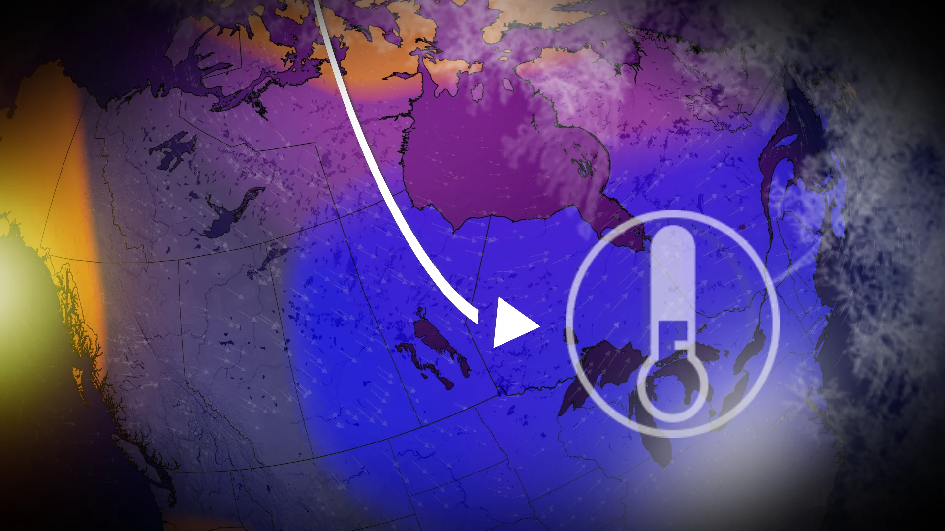
December’s pattern arrived at the end of November
Mild weather that built over Canada throughout the autumn months is in the rearview mirror now. The cold pattern that swept much of the country to end November is largely the same setup we’ll see through the bulk of December.

Meteorologists are confident that this pattern will stick around through most of the month, occasionally relaxing and reinforcing along the way. Overall, though, predictions of a strong start to winter are proceeding as expected.
All indications point toward colder-than-normal temperatures dominating the month for the central and eastern portions of Canada, stretching from Saskatchewan east through the Maritimes.

MUST SEE: Get ready: Snow piles up in a hurry across Canada in December
Ridging over the West Coast should keep most communities in British Columbia close to seasonal for the month, with above-seasonal temperatures favoured through northwestern B.C. into the Yukon.
Folks across Alberta can expect changeable conditions through the month, with alternating periods of cold and mild temperatures in the mix.
A variable but active storm track will also take shape throughout December.
Many of the systems that track into the northern B.C. coast will dive south across Alberta. Across the eastern half of the country, strong bursts of Arctic air will shunt the storm track south into the U.S. at times. Any systems that track far enough south to miss the Great Lakes would have the best opportunity to turn into storms for Atlantic Canada.
What does history say about a white Christmas?
One of the biggest questions anyone has this time of year is whether or not their community will enjoy a white Christmas.
RELATED: Canada’s magic number: What exactly makes for a 'white Christmas'?

Environment and Climate Change Canada (ECCC) officially defines a “white Christmas” as having at least 2 cm of snow on the ground at 7:00 a.m. local time on the morning of Dec. 25.
Data collected by ECCC between 1955 and 2023 paints a festive picture for many major cities across the country.
Calgary’s historical odds of a white Christmas hover around 62 per cent based on those 69 years of weather data. The Greater Toronto Area’s odds are about the same as a coin toss each year, with better-than-even odds throughout much of Atlantic Canada. Vancouver can go years without a white Christmas, with the most recent event occurring in 2021.
What are the chances this year? It's far too soon to say for sure, but given the expected pattern arriving this month, areas that have very high historical odds of a white Christmas will probably see another one this year. Folks in southern and eastern Ontario may also have better odds this time around than their typical coin toss.