‘Destructive’ ice storm, snowfall threatens millions across U.S.

Watches and warnings spanned more than 3,000 km on Thursday
An unusually large winter storm will bring much of the United States to a standstill this weekend with destructive ice totals and a significant blanket of snowfall. Dangerous conditions will span more than 3,000 km from New Mexico to Maine.
Extensive freezing rain may knock out power to millions of homes and businesses, while many communities may see the highest snowfall totals they’ve seen in years.
DON'T MISS: Freezing rain and ice pellets are dangerous winter hazards
Expansive winter storm to cover the U.S.
The same frigid air blanketing much of Canada this week will continue sliding south into this weekend, sending significantly below-seasonal temperatures all the way to the Gulf of Mexico.

Moisture-packed southerly winds running into that Arctic front will fuel widespread precipitation. Given the warmer air aloft, much of the precipitation across the southern U.S. will fall as freezing rain and ice pellets instead of snow.
Precipitation will begin in Texas and Oklahoma on Friday night, quickly building eastward into the day Saturday.
A secondary low-pressure system will develop late Saturday and enhance the wintry precipitation across the Mid-Atlantic and Northeast states. We'll even see impactful snowfall spread into Ontario and Atlantic Canada this weekend.
All told, winter weather hazards will cover more than 160 million people across the United States this weekend, the U.S. National Weather Service said on Thursday.
WATCH: Ice storm may cause widespread power outages
May be the most impactful storm in years
The size and scope of this winter storm will set it apart from anything we’ve seen in recent years.
This event may provide the largest single snowfall in Tulsa, Oklahoma, since February 2011. Even farther east, the forecast holds more snow than New York City has seen in one storm since February 2021.

But it’s the potential for a major ice storm that may prove most memorable.
A damaging crust of ice from freezing rain will form from northern Texas through the Carolinas, covering a slew of major cities including Dallas, Memphis, Atlanta, Charlotte, and Raleigh.

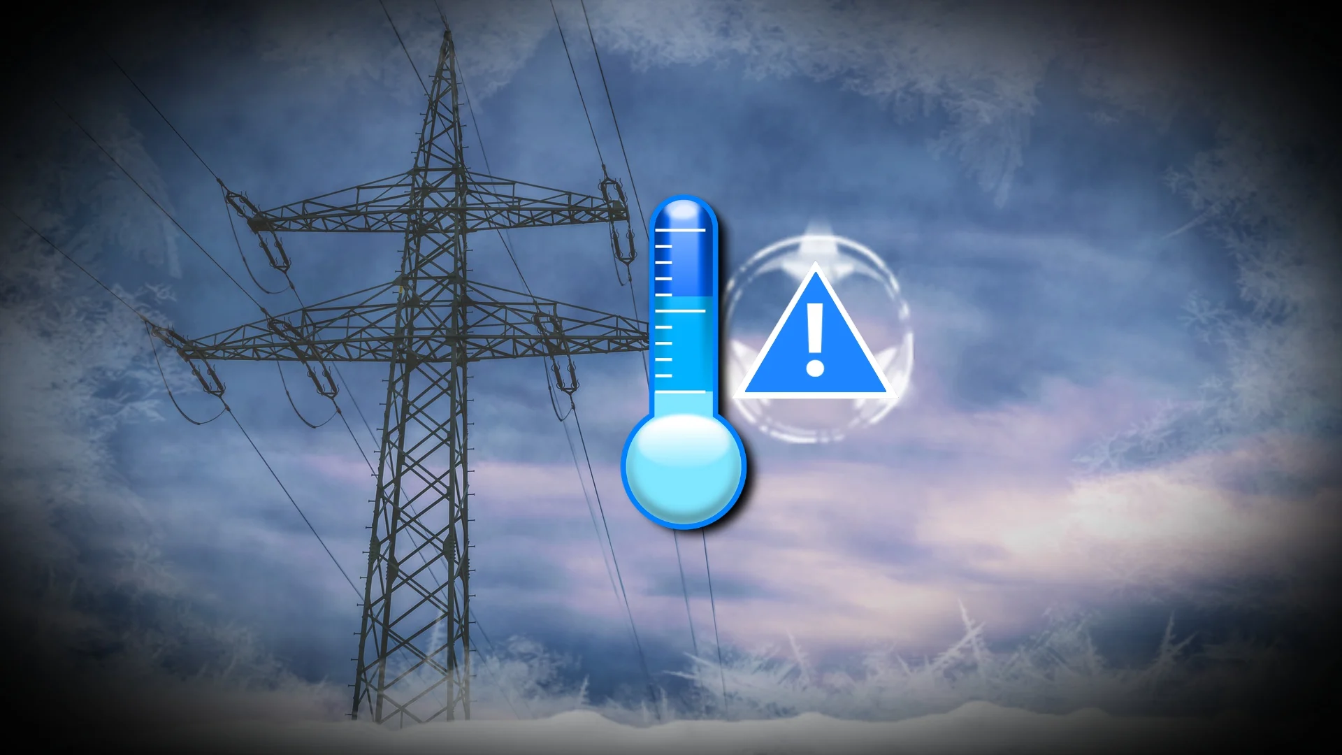
Some areas may see as much as 15-25 mm of ice accretion on trees and power lines. Power outage numbers may approach the millions at the peak of the storm, with outages potentially lasting days or even weeks in the hardest-hit areas.
Dangerous cold will follow the winter storm
The prospect of significant, long-lasting power outages is especially dangerous given frigid temperatures of -15°C or colder in the affected areas. Greensboro, North Carolina, may struggle to climb above freezing again for an entire week after the storm.
A protracted cold snap combined with extensive power outages will heighten the risk for cold-related injuries among vulnerable people, as well as the risk for carbon monoxide poisoning due to improper use of tools like grills and generators.
Forecasters expect temperatures to remain well below seasonal across most of the eastern U.S. through the beginning of February.
Southern U.S. isn’t used to major winter storms
Folks across the southern half of the United States are no strangers to winter weather, but the region isn’t exactly equipped to deal with large helpings of snow and ice.

Snow plows and road treatment equipment grow scarce the farther south you travel, and vehicles aren't equipped with winter tires. Most drivers also don’t have experience navigating icy or snowy roads.
Another problem, particularly with this upcoming storm, is that ice pellet accumulations tend to freeze into a thick sheet of ice on roads, sidewalks, and parking lots. This slab of glacier-like ice is nearly impossible to remove once it freezes into place. Frigid temperatures after the storm will help sustain impassable roads well into next week.
Header image created using graphics from Canva and NOAA.