Dicey travel possible into Wednesday as snow sneaks across southern Ontario
A quick-moving clipper will spread 5-10+ cm of snow across southern Ontario into Wednesday morning, making for some slippery roads for the commute
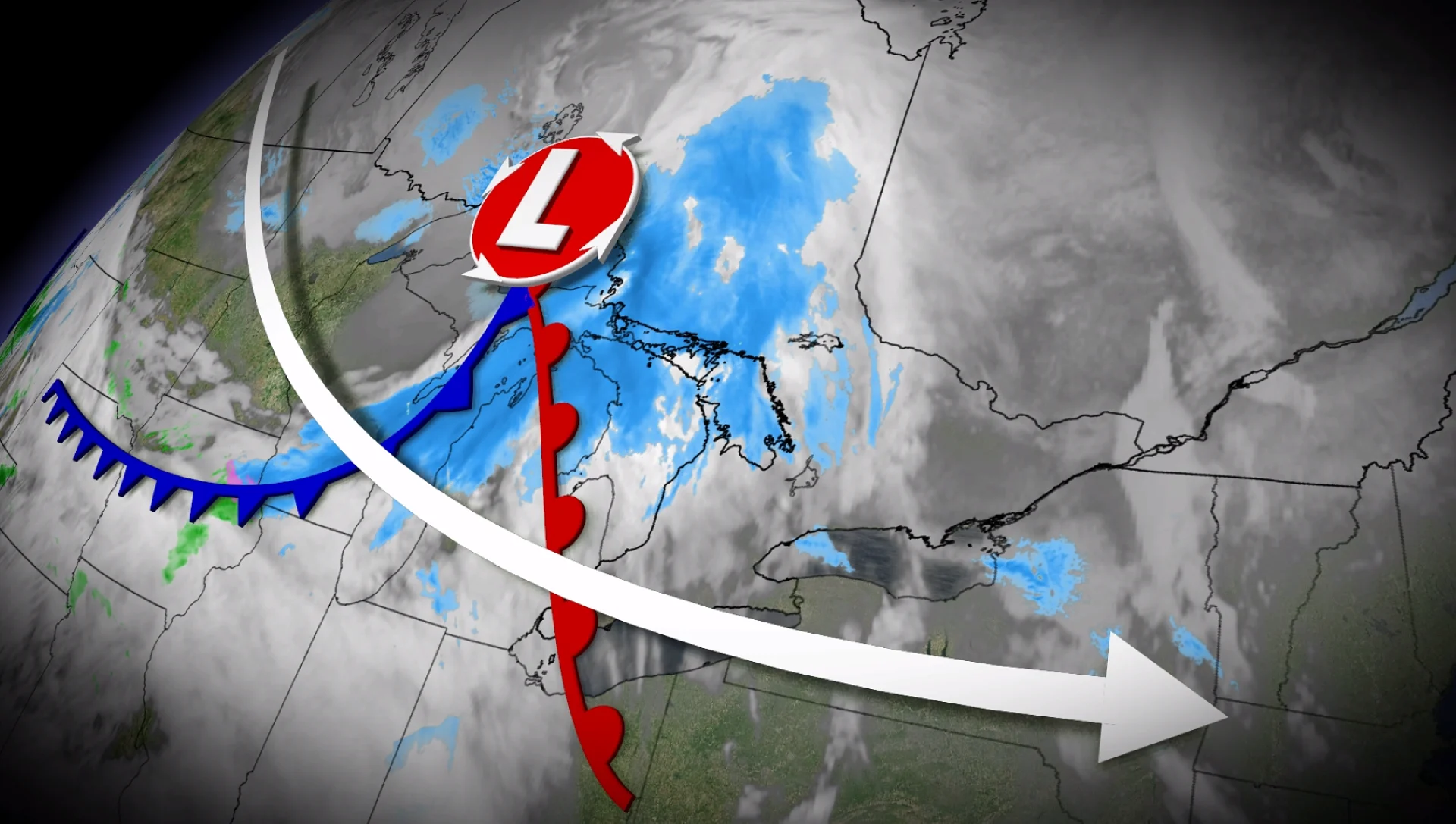
An Alberta clipper will race across southern Ontario with a quick blast of snow Tuesday night, lingering into Wednesday morning.
While amounts won't be too heavy, many areas will see 5-10+ cm of snow, with lake-enhancement adding to the heavier totals in some of the snowbelt communities.
SEE ALSO: Why salt may have caused that power outage
Prepare for deteriorating travel conditions into Wednesday. Allow extra time for travel.
That won't be the end of the snowy and cold weather, either, with forecasters are looking ahead to the latter half of the week. A cold pattern will bring deep temperature drops to Ontario, including the Greater Toronto Area (GTA).
Snowy clipper exits Wednesday, but more coming this week
Snow will continue to spread into central and southern Ontario through the evening and overnight hours Tuesday.
Snowfall rates will intensify for the GTA after 9 p.m. and continue through the overnight hours for several hours before tapering to flurries into Wednesday morning.

RELATED: A winter storm's track can make or break your forecast
Extra time will be needed for shovelling on Wednesday morning for folks commuting.
Lake-effect snow will develop in the wake of the widespread snow, spreading bursts of snow across much of southern Ontario through Wednesday.

Eastern Ontario will see light to moderate snowfall through Wednesday morning and into the early afternoon before changing to flurries.
A widespread 5-10 cm of snow is expected, with heavier totals for the snowbelts in combination with lake-effect through Wednesday.
Chilly temperatures are expected Thursday with milder, slightly above temperatures expected Friday into Saturday for southern Ontario. But the region will be blasted again with cold, below-seasonal temperatures on Sunday.

Keep an eye on the forecast as we head into the first week of March. An active pattern is possible with chances for snow and a messy mix of precipitation as the storm track nears the region.
Stay with The Weather Network for more information and updates on your weather across Ontario.