U.S. East Coast bracing for nor'easter this week. Will Canada be impacted?

A comprehensive look at a developing nor'easter this week, including its potential for significant wind and rainfall for parts of Atlantic Canada
Atlantic Canada may be in for a rough middle of the or late week, with forecasters keeping a close eye on the formation of a nor'easter.
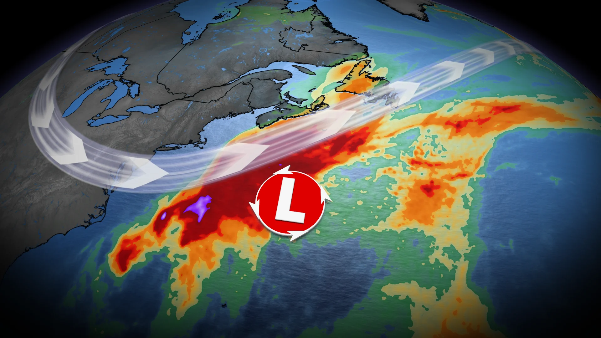
A non-tropical, low-pressure system between the U.S. East Coast and Bermuda will meander for the next few days, and evolve into a hybrid system with some subtropical characteristics.
DON'T MISS: Canada's Winter Sneak Peek: El Niño puts record warmth in play
This system is expected to intensify, track northeast, and may become a nor’easter for Atlantic Canada late week. Widespread winds and rainy conditions, especially for eastern Nova Scotia and Newfoundland, are possible.
However, there is still a high amount of uncertainty right now. Here is what we know so far.
Nor'easter in development this week
The U.S. National Hurricane Center (NHC) has a 40 per cent chance of a storm-force, non-tropical low development along a frontal boundary. The area will continue to develop and remain near stationary for the early part of this week.
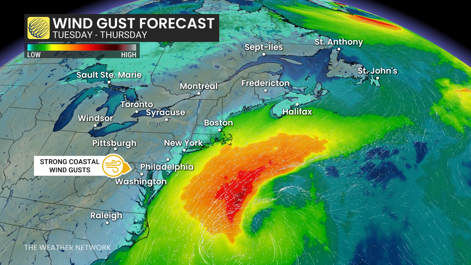
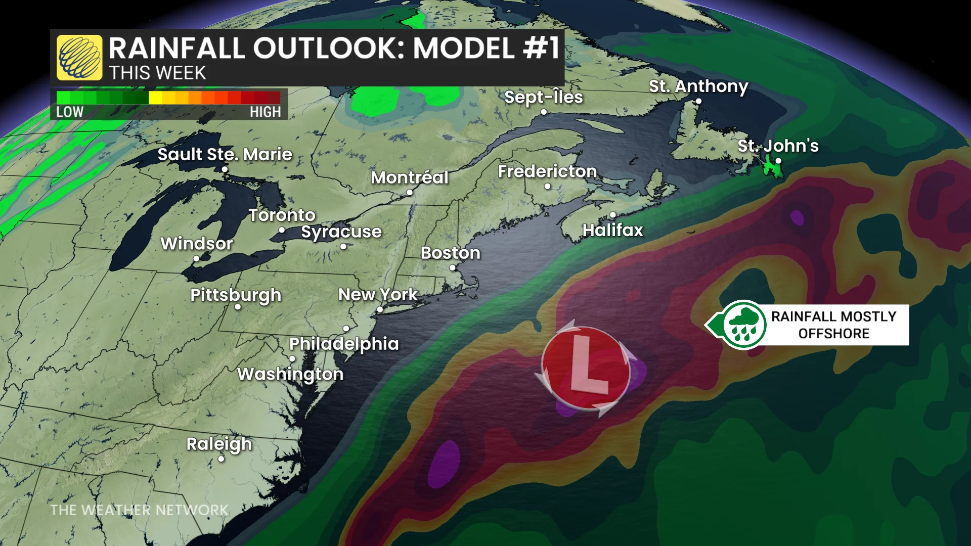
Strong winds and surf expected to impact parts of the U.S. Eastern Seaboard, stretching from the Carolinas to New Jersey. Most showers will remain offshore, but could clip a swath of regions from Virginia to North Carolina.
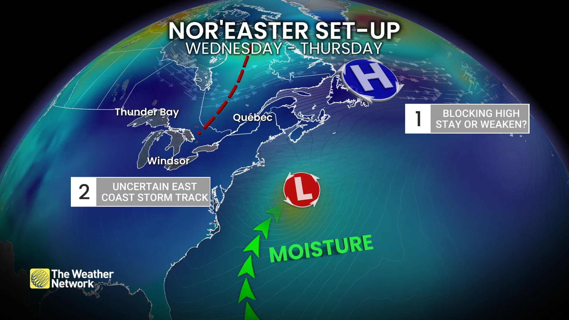
Where the storm goes from the middle of and the end of this week will determine possible impacts to Atlantic Canada. There is high uncertainty in longrange models at this time
An area of high pressure will be in place near Quebec and Newfoundland.
SEE ALSO: Fight flu season with nature: Four immune-boosting foods to try this fall
So, does it weaken and move east? Or, does it remain in place? Both scenarios are possible. An incoming trough will swing across the Great Lakes.
Does the timing of this line up to scoop the low northwards?
Scenario No. 1: “Miss”
High pressure remains strong and movement is slow. The low to the south is steered out to sea with minimal impacts to the Atlantic provinces.
Scenario No. 2: “Hit”
High pressure weakens and moves northeast.
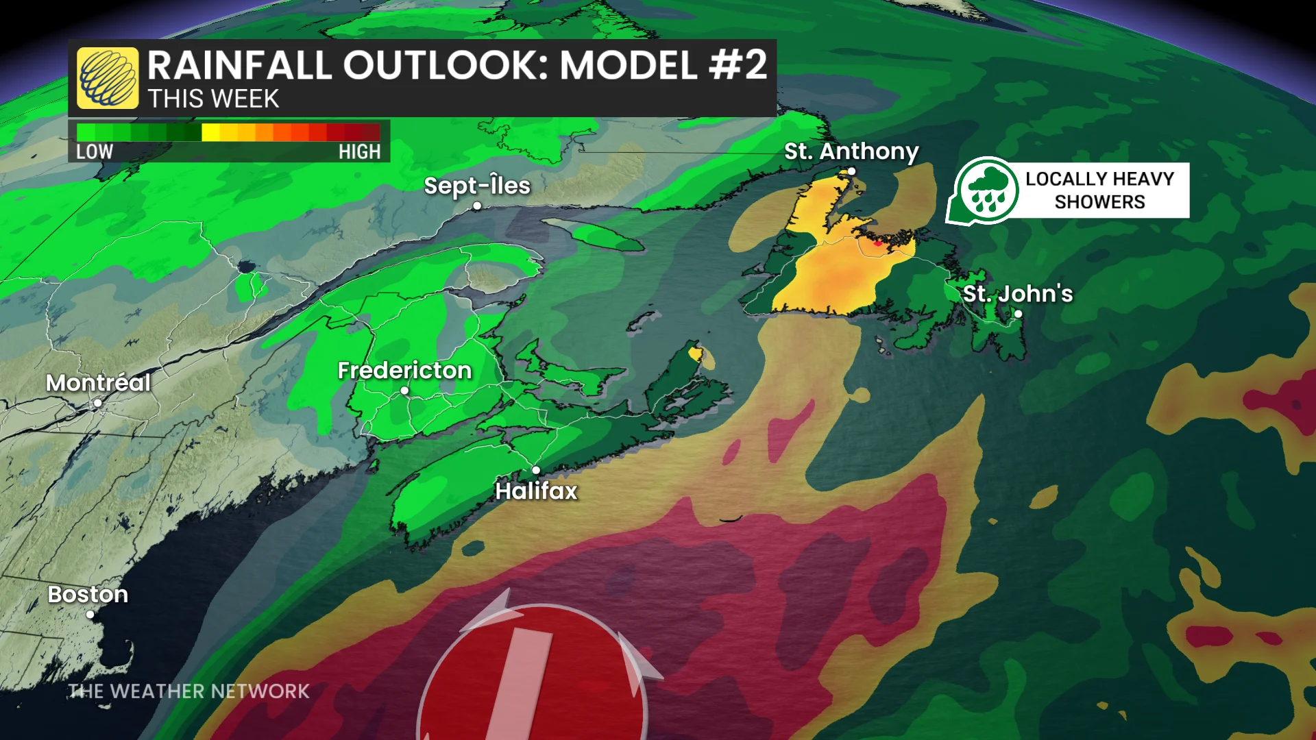
Trough in the Great Lakes advances quickly, entering the Maritimes and scooping up the low, altering its storm track. The trough steers the storm inland with high rain and strong wind impacts by late week.
Stay with The Weather Network for the latest updates and information on your forecast across Atlantic Canada.