Erin likely to grow into a major hurricane this weekend
Erin is the first hurricane of the 2025 Atlantic season, and it could be quite a strong storm by Saturday and Sunday
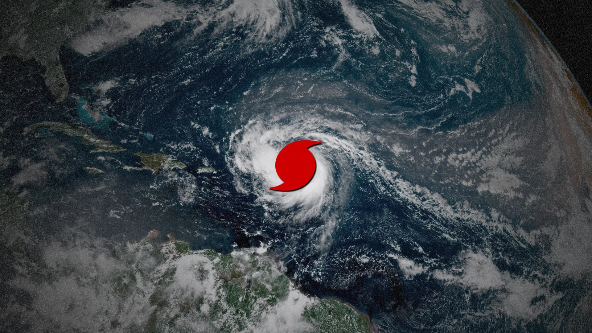
Erin intensified into the first hurricane of the 2025 Atlantic season on Friday morning as it continues to organize east of the Lesser Antilles.
Forecasters expect the system to grow into a formidable major hurricane by this weekend, with the latest prediction calling for a Category 4 hurricane by Sunday.
All interests in the Antilles, Bermuda, eastern U.S., and Atlantic Canada should continue to monitor the progress of this storm in the days ahead.
DON'T MISS: Busy hurricane season still expected in updated Atlantic outlook
Erin expected to steadily strengthen
Hurricane hunters flying through the storm Friday morning found that Erin’s winds had increased to 120 km/h, making it the first hurricane in the Atlantic this season.

Erin will continue tracking west-northwest over the next couple of days, with the core of the storm passing north of the Lesser Antilles. The hurricane’s outer bands may affect several of the islands through Saturday, prompting tropical storm watches for:
Anguilla and Barbuda
St. Martin and St. Barthelemy
Saba and St. Eustatius
Sint Maarten
Gusty winds and heavy rainfall are possible across these islands as Erin passes north of the region over the next couple of days.
The latest advisory from the U.S. National Hurricane Center (NHC) calls for “steady to rapid strengthening” into a major hurricane by Saturday, potentially growing into a high-end hurricane by Sunday.
Potential Canadian impacts uncertain at this time
Forecasters expect a ridge of high pressure over the central Atlantic to weaken in the days ahead, which will allow Erin to begin turning toward the north through the first half of next week.
Interests across the U.S. East Coast and Bermuda should closely monitor the track of the storm as it curves through the region over the next five to seven days.

SEE ALSO: La Niña watch issued for this winter as key factors signal change
Current signals show that steering winds may allow Erin to then turn northeast and track around that ridge in the central Atlantic.
However, a trough swinging across Eastern Canada also has the potential to ‘absorb’ the hurricane and swing it back toward Atlantic Canada.
The timing of this trough is highly uncertain at this time, but it highlights that folks across the region should continue closely monitoring the latest updates.
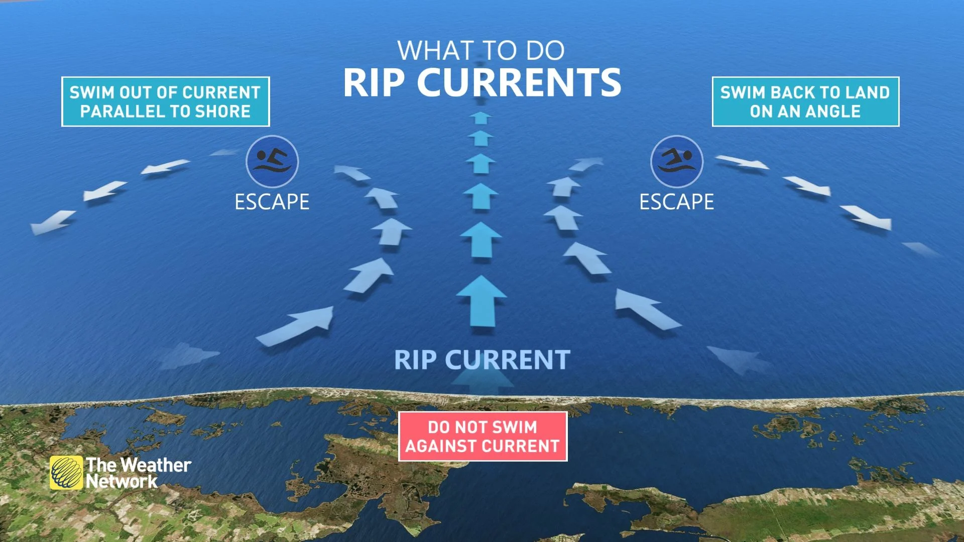
Rip currents a major hazard
Regardless of Erin's track, rough surf and rip currents will pose a significant hazard to beaches throughout the Antilles, eastern U.S., Bermuda, and Atlantic Canada as the hurricane both strengthens and grows in size over the next week.
Rip currents form when waves hit the beach head-on, creating narrow currents of water that rush back out to sea.
STAY SAFE: Rip currents are a natural hazard along coasts – here’s how to spot them
These currents don’t pull you underwater like they show on television—instead, they quickly pull you away from the beach out to sea. Swimmers often exhaust themselves trying to fight against the current, sometimes to the point of succumbing to the waves.
Always heed the advice and orders of local officials and stay out of the water if there’s a threat for rip currents. Don’t panic if you’re ever caught in a rip current. If you can’t swim, calmly signal for help and tread water until assistance arrives. Swimmers should swim parallel to the beach until you’re out of the rip current, then swim back to shore.