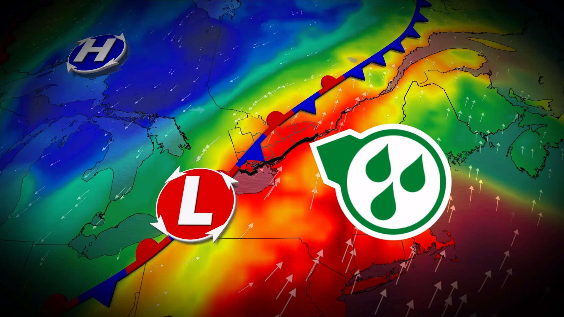
Flood threat as very heavy rain continues into Monday morning

Stay alert for pockets of very heavy rainfall across portions of southern Ontario heading into Monday morning
A soggy Sunday across southern Ontario continues overnight as a moisture-laden system slowly pushes through the region.
Some areas had already picked up more than 75 mm of rain through Sunday evening, with more on the way. Beware ponding and localized flooding on area roadways.
Remember, never try to drive across a flooded roadway. It’s impossible to tell how deep the water is until it’s too late.
CANADA’S AUGUST OUTLOOK: A significant mid-month flip-flop in the works
Sunday’s active weather even prompted a tornado warning on the Niagara Peninsula, with some reports of damage near Kemptville that may require investigation due to possible rotation in the area.
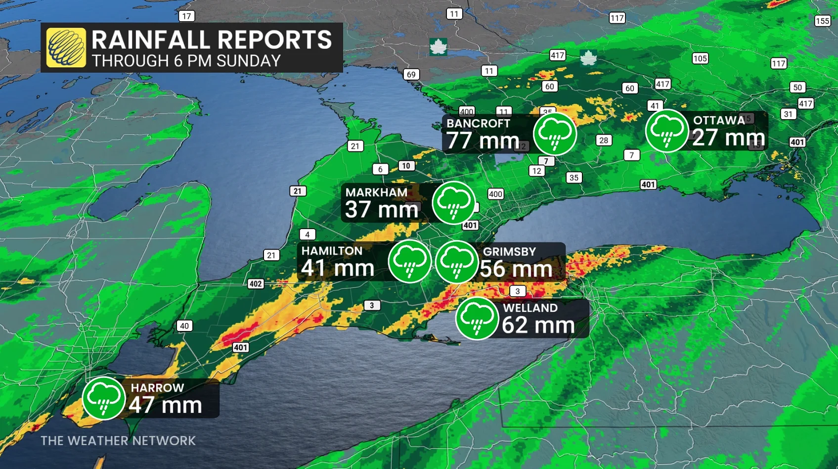
Through 6:00 p.m. Sunday, the gauge in Bancroft picked up 77 mm of rain. Folks in Welland saw 62 mm of rain, Hamilton saw 41 mm of accumulation, and Ottawa had received 27 mm.
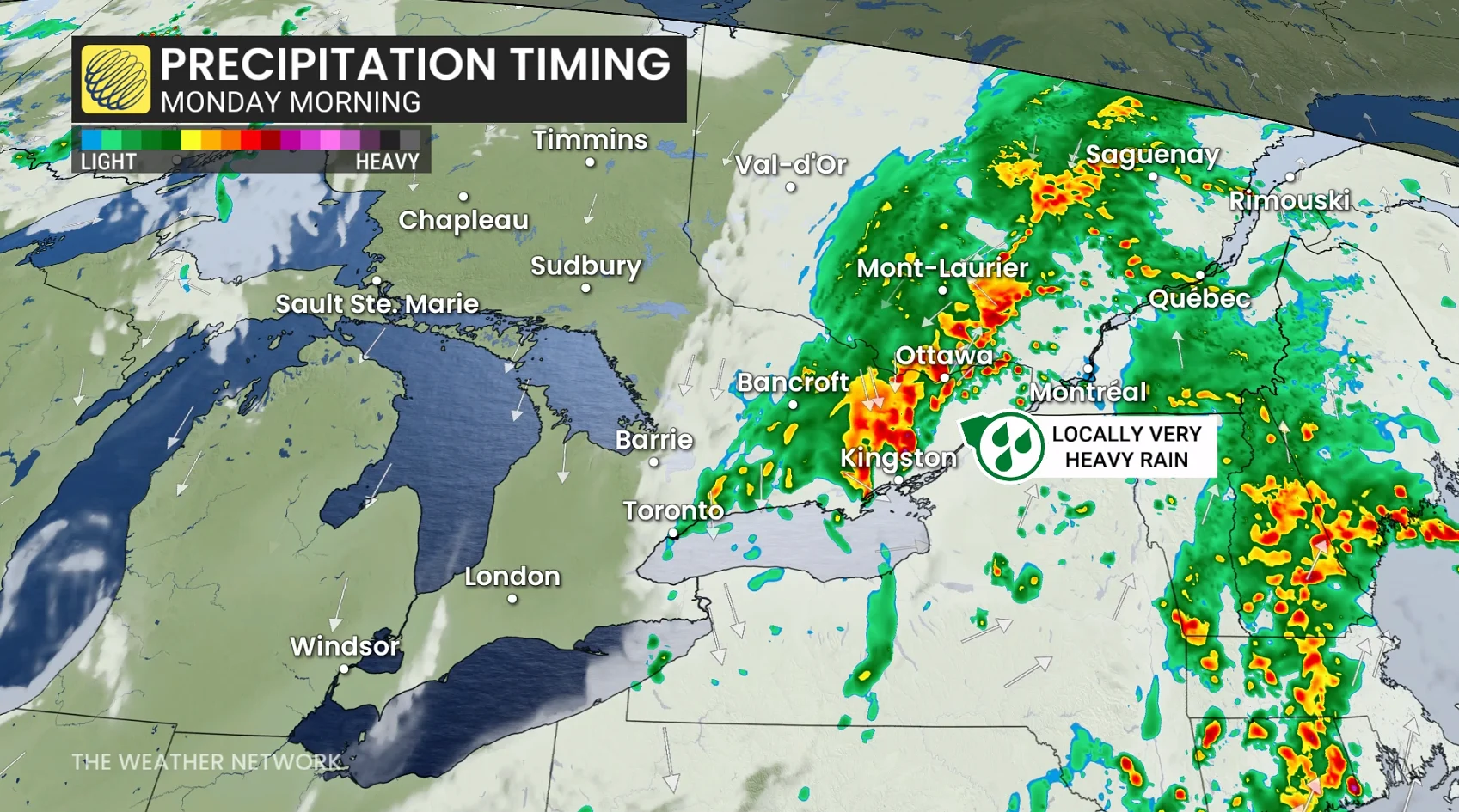
We’ll see waves of heavy rain continue pushing across southern Ontario from west to east as we move through the overnight hours late Sunday into early Monday.
Periods of very heavy rainfall will continue into Monday morning for portions of eastern Ontario, including around Ottawa and Kingston.
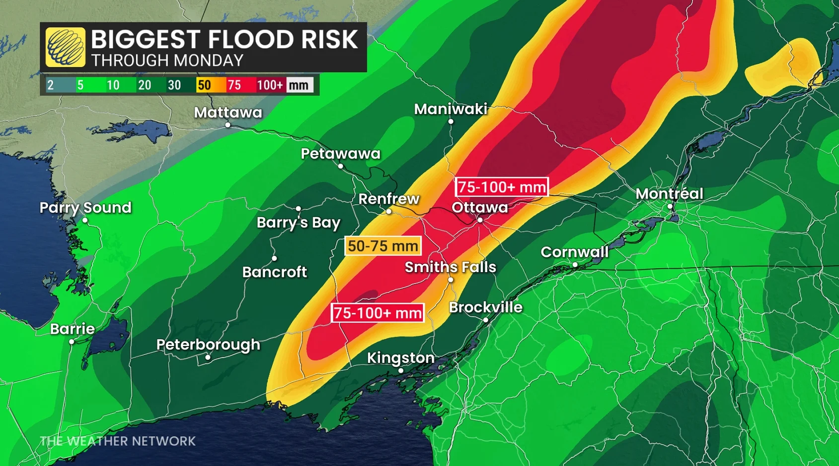
The National Capital Region is already waterlogged from its rainiest July on record, limiting the ground’s ability to absorb additional precipitation. Remain on the lookout for standing water if you’re driving through the region.
A swath of eastern Ontario may end up with rainfall totals on the order of 75-100+ mm by the time precipitation clears out of the region on Monday.
Stay with The Weather Network for all the latest on conditions across Ontario.