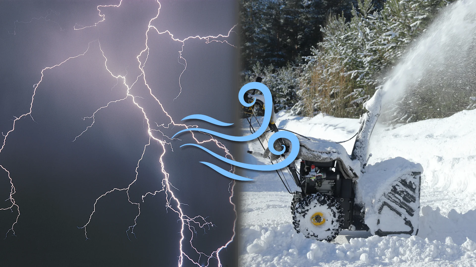
From thunder to squalls, southern Ontario may see it all this weekend
From thunderstorms to lake-effect snow squalls, southern Ontario will be seeing a triple threat of stormy weather over the next few days
Last week's widespread snowfall in southern Ontario gave us a taste of the winter to come, but don't forget, we're still in meteorological fall. The two seasons will clash over the next few days, bringing folks a stormy few days of weather whiplash.
While southern Ontario is in the clear for the freezing rain and heavy snow forecast to impact the Ottawa region and southern Quebec over the weekend, that doesn't mean it'll be sunny skies.
In fact, the region is forecast to get a taste of both fall's and winter's stormy weather as a clipper system moving through northern Ontario brings in strong airflow across the province.
Folks will want to pay special attention to Sunday and Monday's forecasts, as they may impact travel conditions and commutes.
DON’T MISS: Beware the dangers of fall snowstorms across Canada
Thunderstorms build on Saturday
Our clipper system moving into northern Ontario to start the weekend will help to promote a strong southerly flow across southern Ontario.

This will drive temperatures into the mid-teens across southwestern Ontario, even nudging into the double digits in the Greater Toronto Area (GTA).
A cold front arriving in the late-afternoon hours will bring a chance for thunderstorms to the region, primarily from London to Niagara.
Behind the front, winds will shift and blow from the northwest, strengthening through the overnight hours.
Winds pick up Sunday
Sunday will be a blustery day throughout the region. 60-80 km/h gusts are possible during the day, especially atop the escarpment and the shores of Lake Huron.

These gusty northwest winds will help whip up lake-effect squalls through the day. We’ll see the squalls become organized by Sunday evening.
Squalls off Lake Huron will be the main focus with London to Woodstock the main targets. A secondary focus will develop off Georgian Bay, with Collingwood to Highway 400 south of Barrie in line for foul weather.
Lake-effect snow squalls Monday
Gusts will ease slightly heading into the beginning of the new workweek, but the winds will remain supportive of lake-effect squalls throughout the region.

We may see a triple-lake band develop during the day, with a squall starting over Lake Superior, snaking across Lake Huron, and continuing over Lake Erie—a total distance of 1,000 km.
As is the nature of snow squalls, accumulations will vary greatly over short distances. Localized snowfall totals may approach or exceed 20 cm in areas where snow squalls remain stationary for an extended period of time. This potential looks greatest in southwestern Ontario.
Header image created using graphics and imagery from Canva.
Stay with The Weather Network for all the latest on conditions across southern Ontario.