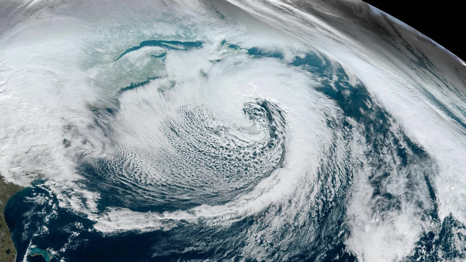
Impactful winter storm continues across Newfoundland
Beware the risk for near-whiteout conditions as a winter storm persists across Newfoundland
Newfoundland is in the second half of a disruptive holiday storm train rolling through the region.
The first storm brought widespread heavy snow and very gusty winds to the island. Our next system will persist through the overnight hours, bringing additional heavy snowfall and reduced visibility.
DON’T MISS: What turns a raging snowstorm into a blizzard?
Second storm arrives with more snow, wind
A second, powerful low-pressure system moved into Newfoundland to cause renewed travel problems on Saturday.
This system is expected to retrograde, or backtrack, over Newfoundland, which will prolong the dangerous winter conditions for some communities.

Communities that manage to stay all snow for the duration of this second system could see an additional 20-40 cm of accumulation, with some areas along the northern coast possibly receiving more than 50 cm of fresh snowfall.
Strong wind gusts will accompany the heavy snow, severely limiting visibility at times. Drivers can expect near-impossible travel conditions at times. Some power outages are also possible.
Header image courtesy of NOAA.
Stay with The Weather Network for all the latest on conditions across Newfoundland.
