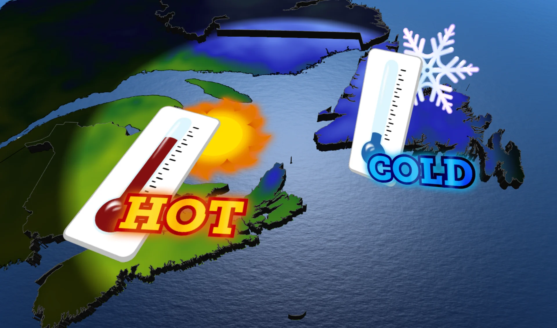
March or May? Duelling seasons to slice through Atlantic Canada
Feels-like values will range from 30 to 1 as the region falls under a sharp boundary
Parts of Atlantic Canada will feel like different worlds over the next week as the region falls under the influence of duelling patterns.
Some communities will contend with March-like weather in the days ahead, while other areas will witness temperatures soaring to early summertime levels.
DON’T MISS: Study finds dozens of major cities sinking due to groundwater extraction
Portions of Labrador are in for 20-40 cm of snow and blizzard-like conditions on Sunday as a low-pressure system pushes into a slug of cold air locked over the region.
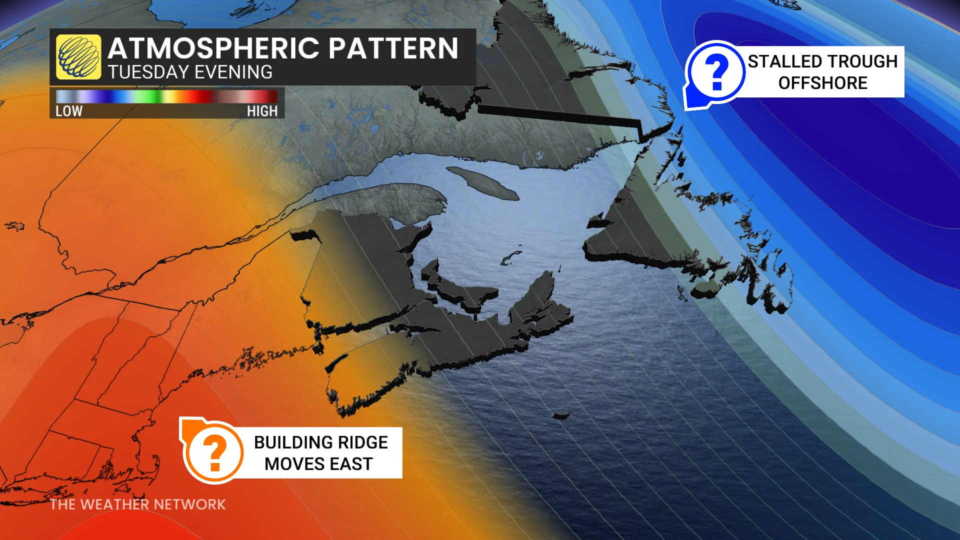
The upper-level trough responsible for that late-season snow will linger over Newfoundland into the middle of this week, even bringing the island some snow showers on Monday.

Meanwhile, a ridge building over Ontario and Quebec will extend its influence into the Maritimes. This pattern will bring above-seasonal conditions to much of the region through midweek.
Expect a growing temperature gradient to develop across Atlantic Canada as the trough sits over Newfoundland and the ridge strengthens over the Maritime provinces.
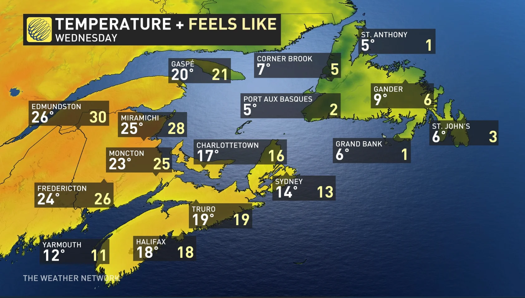
Even as readings remain mired in the middle to upper-single digits across Newfoundland, including St. John’s, temperatures will soar over the Maritimes by Wednesday and Thursday.
Daytime highs in the mid-20s will greet New Brunswick by the middle of the week, with feels-like values in places like Edmundston, Miramichi, and Moncton potentially reaching 30. The ocean will keep things a bit cooler--but still pleasant--across toward Halifax and Charlottetown.
Stay with The Weather Network for all the latest on conditions across Atlantic Canada.