Diminished thunderstorm risk pops up in Alberta again on Tuesday
The recent stretch of stormy weather isn't done in Alberta, yet, as Tuesday sees a new, but weakened threat pop up in parts of the province
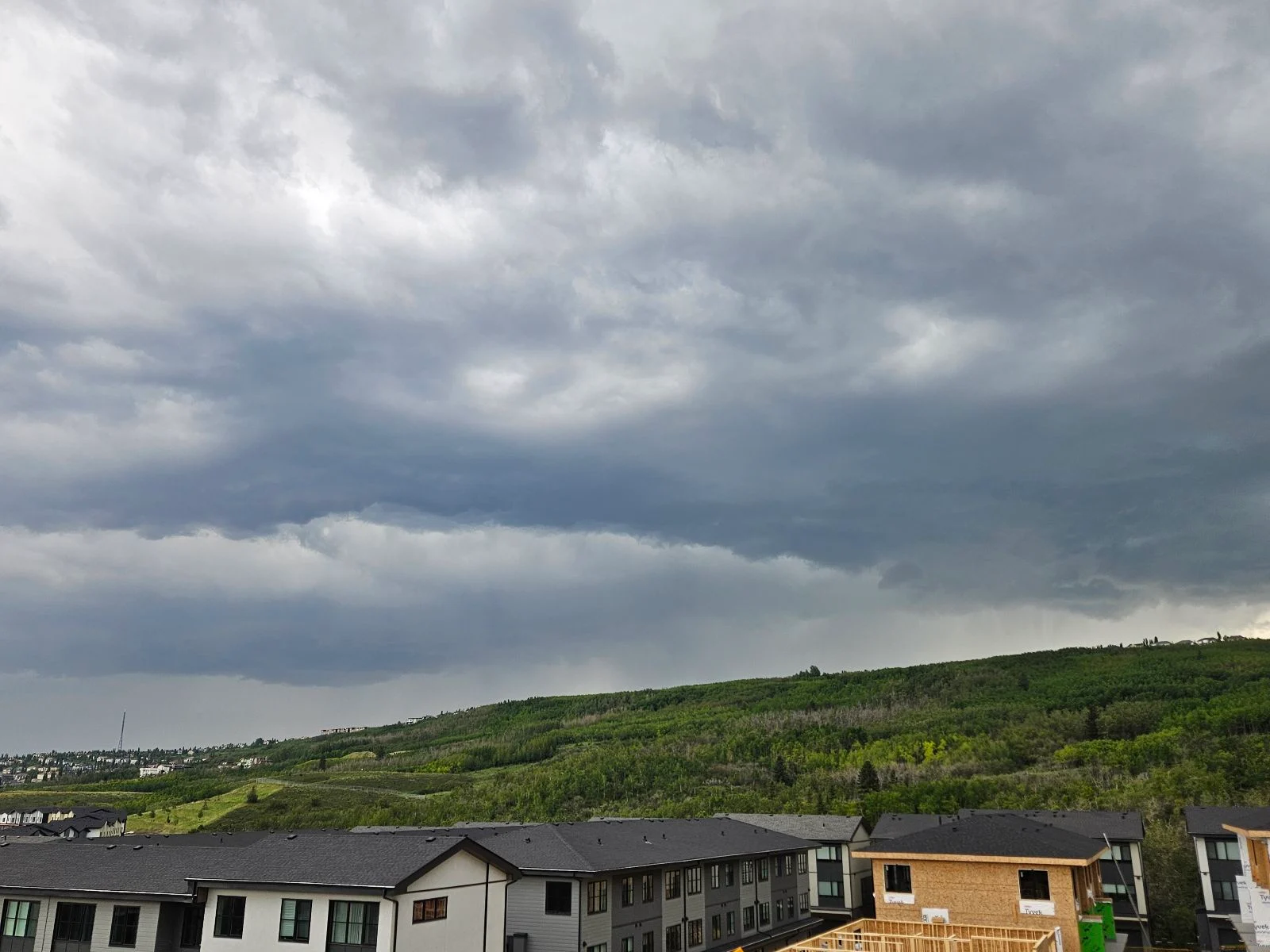
The last couple of days have been stormy for parts of Alberta, especially on Sunday, and that trend looks to linger into Tuesday as somewhat favourable conditions remain in place.
SEE ALSO: From nuisance to nightmare: Huge hail is an extreme danger
However, the risk will be on a diminished scale, with non-severe storms possible in parts of Alberta. The main hazards will be strong winds, heavy rain and small hail.
Folks in the area should keep an eye on local weather alerts and watch the radar for incoming severe weather.
Tuesday sees a renewed, but weakened storm risk in Alberta
Another risk for Alberta foothill hailers exists Tuesday, but the threat will be less severe than it was during the past several days. Storms will develop by the afternoon but lose dynamics as they try to track east away from the Rockies.

Folks in the area should keep an eye on local weather alerts and watch the radar for incoming severe weather.
Several days of hot and muggy temperatures will follow Tuesday's threat, with feels-like values into the 30s for much of Alberta, including Calgary, Wednesday and Thursday.

However, Albertans can expect a wet and cool holiday August weekend.
Stay with The Weather Network for more information and updates on your weather across Alberta.
*Thumbnail image credit to