Newfoundland crosses 400 cm snowfall mark, another storm incoming
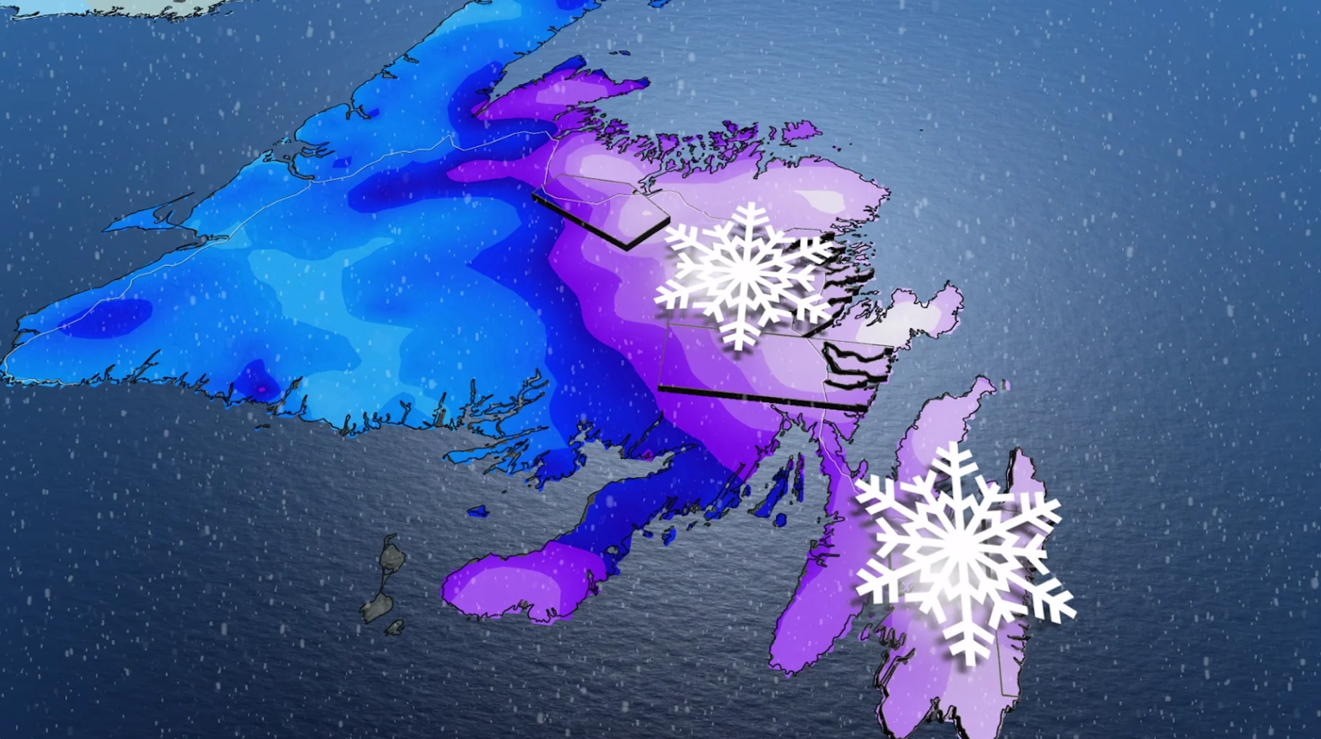
After parts of Newfoundland have already crossed the 400 cm snowfall threshold this season, we're looking at another bout of heavy snow and possible blizzard conditions threatening northeastern regions of the province.
It has been a snowy winter so far for Newfoundland, and there doesn't appear to be an end to it yet in the forecast, as another winter storm takes aim at the province late Tuesday.
So far this season, St. John's has received 278 cm of snow, below the provincial capital's 335 cm seasonal average. Further north, however, Gander has already received 400 cm of snowfall! And even more snow is on the way for both communities.
SEE ALSO: The blizzard that caused an avalanche in St. John's, Nfld.
Stay alert for travel delays and school closures on Tuesday evening and through Wednesday, as some areas could see up to 50 cm of snowfall with this latest storm.

Persistent snow starts late Tuesday
Periods of snow are forecast to develop by Tuesday evening and are expected to intensify through the overnight, reaching a rate of 2-3 cm per hour.
The bulk of the snow is forecast to target northeastern Newfoundland, as well as the Avalon Peninsula.
DON'T MISS: Throwing through the frost: How weather can affect your curling game
While we should see snowfall rates stay at 1-2 cm per hour for the region throughout the day Wednesday, St. John's and the surrounding area could see an even higher peak, reaching 3-5 cm per hour early in the day.
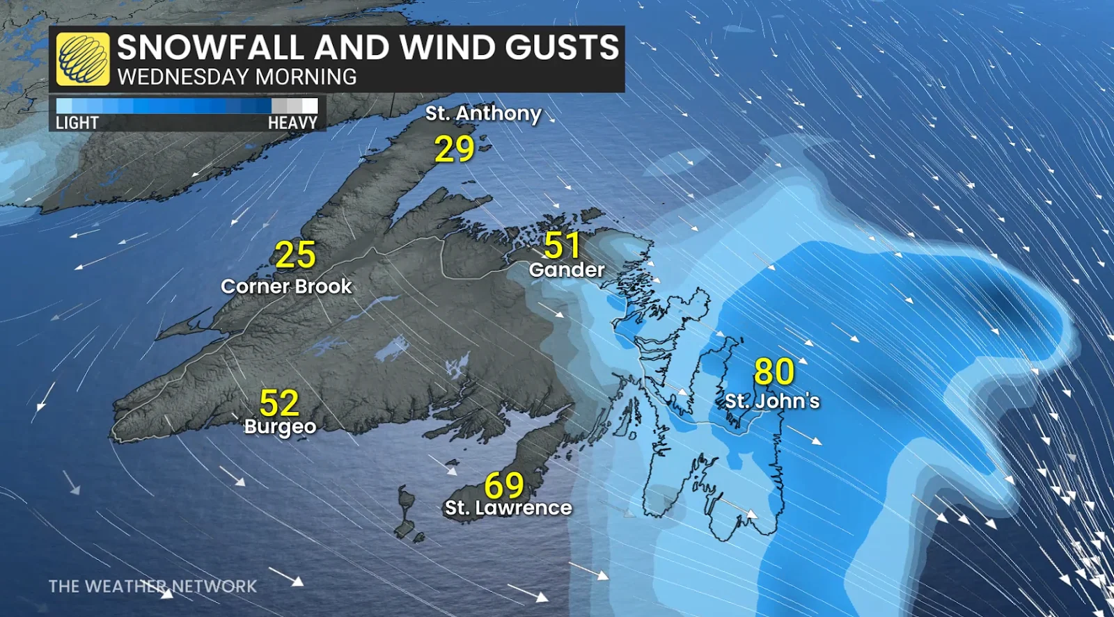
Here are the forecast snowfall totals for the hardest-hit areas with this storm:
St. John’s: 30-40+ cm
Bonavista: 30-40 cm
Clarenville: 20-30 cm
Gander: 20-30 cm
Badger: 15-20 cm
Burin: 10-20 cm
Now to answer the question everyone is likely asking: Will this be a blizzard?
Based on the current forecast, yes, this will likely be a blizzard. Strong winds are forecast to stay around 40-50 km/h around St. John's and exposed coastal regions on Wednesday morning, with even stronger gusts forecast. Combined with the heavy snow, we're looking at visibility likely being reduced to less than 400 metres. These conditions, if they play out as forecast, will satisfy the criteria to be called a blizzard.
Stay with The Weather Network for the latest updates on your forecast across Newfoundland.