Ontario’s longest cold snap in over a decade: Is the end near?

We break down the longest cold snap to hit southern Ontario in more than a decade. See how current freezing streaks in cities like Toronto and Ottawa compare to all-time records, and find out when a major pattern change is expected to bring relief.
Southern Ontario is in the midst of its most persistent cold stretches in more than a decade, with the region pushing more than 16 days of consecutive, below-freezing temperatures.
It is a run not seen since the historic winter of 2014-15.
Cross-polar flow has been relentless, with ridging in Alaska and a blocking high-pressure system over Greenland working in tandem to aim arctic air across the region.
Consecutive days at or below 0°C (current streak)
Timmins: 24 days
Montreal: 18 days
Toronto: 16 days
Ottawa: 16 days
Hamilton: 16 days
Windsor: 12 days

Here’s some perspective for Toronto. With the streak now beyond 16 days, it’s the longest streak since January-March 2015, when temperatures stayed at or below zero for 37 straight days.

Nothing can top Ottawa’s legendary streak below freezing extending 61 days--from Dec. 17, 1944, to Feb. 15, 1945--one of Canada’s most extreme cold spells.

As Montreal approaches three weeks below freezing, it is still far away from the 43 straight days recorded in 2015.

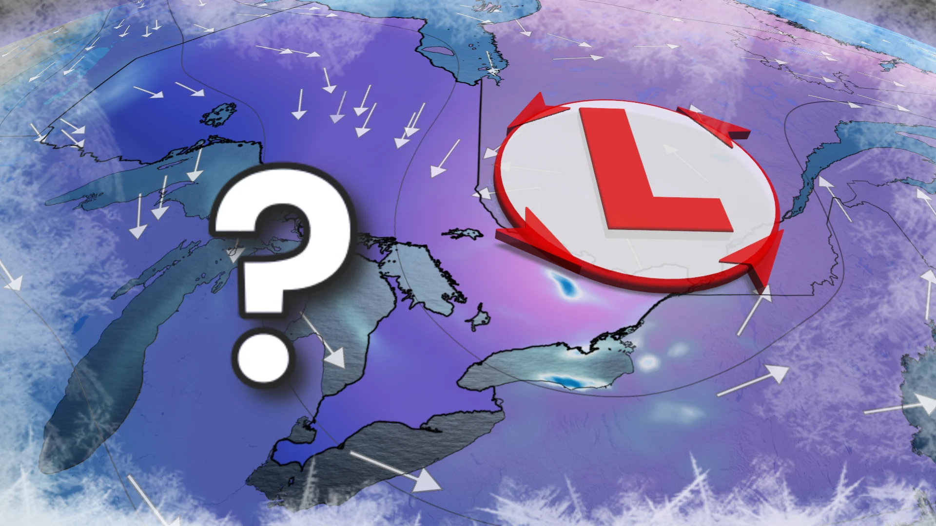
The why
The storm track and the core of the Arctic air have tracked well to the south, at times reaching the Gulf of Mexico.
It’s a stagnant upper air pattern that locked into place; it’s been highly capable of re-loading Arctic air southward, and is highly effective at preventing warm-ups.
The impacts: A building snowpack and expanding Great Lakes ice cover are working to expand winter’s grip across southern Ontario.
A brief blip
A short interruption to the cold is possible on Friday as a fast-moving clipper system is expected to drag a brief warm sector into parts of southwestern Ontario, allowing temperatures to briefly rise to or just above the freezing mark from Windsor into the western Greater Toronto Area (GTA).
Southwestern Ontario (Windsor–Sarnia): A brief push above 0°C is likely
Toronto: A marginal “blip” above freezing is possible.
North of the GTA: Temperatures remain below freezing, with little to no moderation.

Arctic air reload:
Another lobe of the polar vortex pays a visit this weekend, with temperatures plunging more than 15 degrees below seasonal in some locations.
The frigid air is expected to linger all weekend into next Monday.

A change is coming
The pattern is now set to break down in a major way.
By the second week of February, the blocking pattern over Alaska caves, which helped maintain the cross-polar flow of Arctic air into Eastern Canada.
This will shut down the cross-polar pipeline as milder Pacific air surges eastward across much of Canada.
Southern Ontario transitions into a much milder and more active pattern, but it doesn’t mean winter is over.

This current cold snap will go down as one of the most impressive since 2015 for southern Ontario, being unusually prolonged, widespread, and stubborn.
But relief is on the way.
The coldest chapter of winter is quickly closing, as we now expect the second and third week of February to deliver a much more sustained break from the Arctic air.