Prolific wildfire smoke continues spreading across Canada, U.S.
Depending on the wind direction, extremely hazardous air quality will continue for some areas for as long as the fires burn
Extensive wildfires burning throughout the western half of Canada have generated prolific plumes of smoke that have spread from the Arctic to Florida.
Low-level smoke will pose additional air quality issues for portions of Canada over the next several days, while high-level smoke will persist in the skies over much of North America.
Keep up with the latest wildfire news and information at The Weather Network's wildfires hub.
Numerous out-of-control wildfires across Canada
Major blazes continued this weekend throughout portions of Manitoba, Saskatchewan, Alberta, and northern British Columbia. Provincial states of emergency were issued for Manitoba and Saskatchewan, where multiple communities remain under evacuation orders.
The Canadian Interagency Forest Fire Centre (CIFFC) raised their national preparedness level to 5 this week, the highest category reserved for significant wildfire activity that requires a major response.
Official data collected by the CIFFC on Saturday reflected more than 1,500 wildfires that have collectively burned more than 1.1 million hectares of land so far this year.
Intense smoke blowing across Canada, U.S.
The intensity and coverage of the blazes across the Prairies and B.C. has allowed a significant amount of smoke to cover large portions of Canada and the United States.
MUST SEE: Prairie wildfires: Your quick resource guide
Low-level smoke is a significant hazard for many communities on the Prairies, especially those near the fires. Depending on the wind direction, extremely hazardous air quality will continue for these areas for as long as the fires burn.
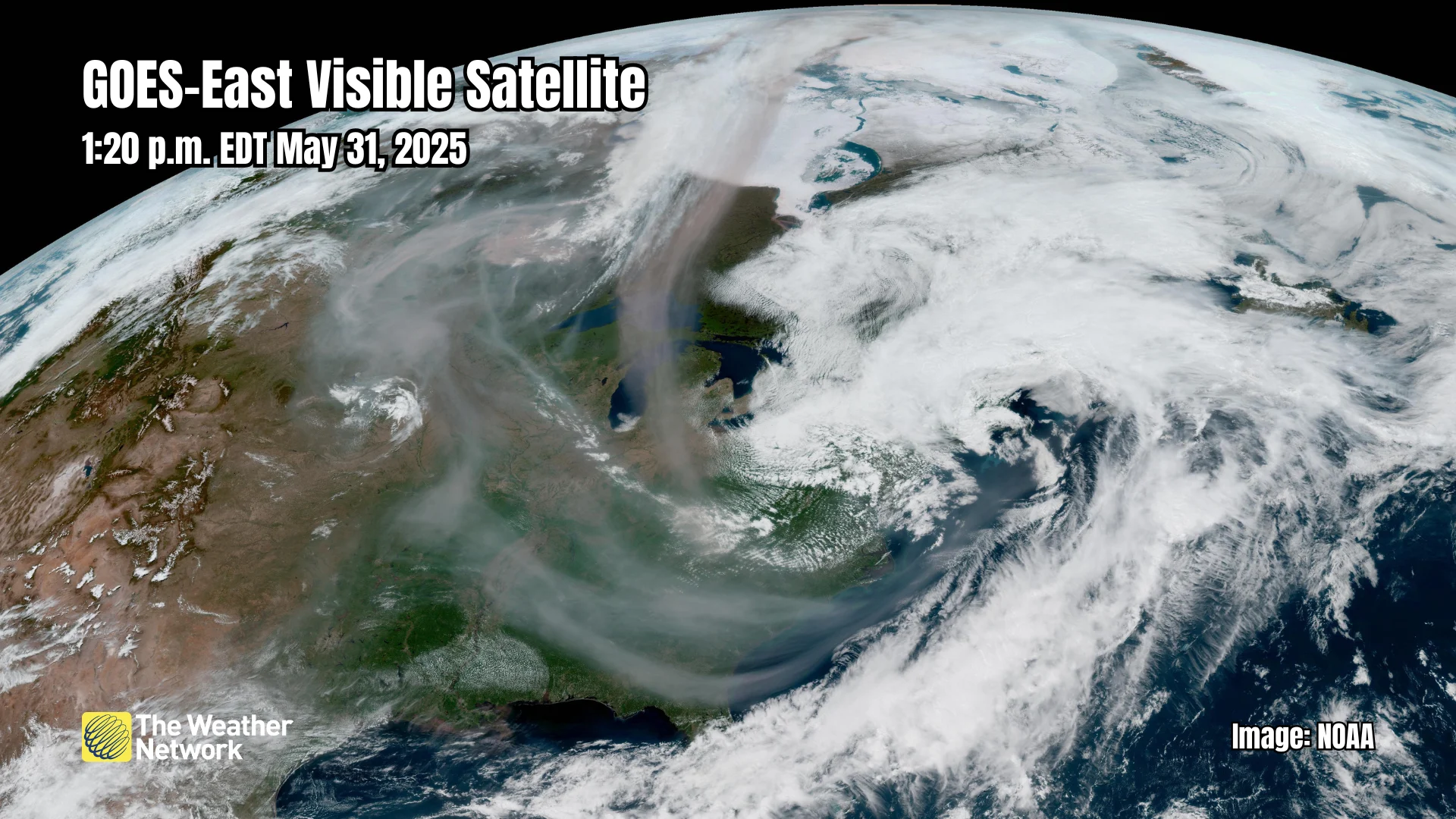
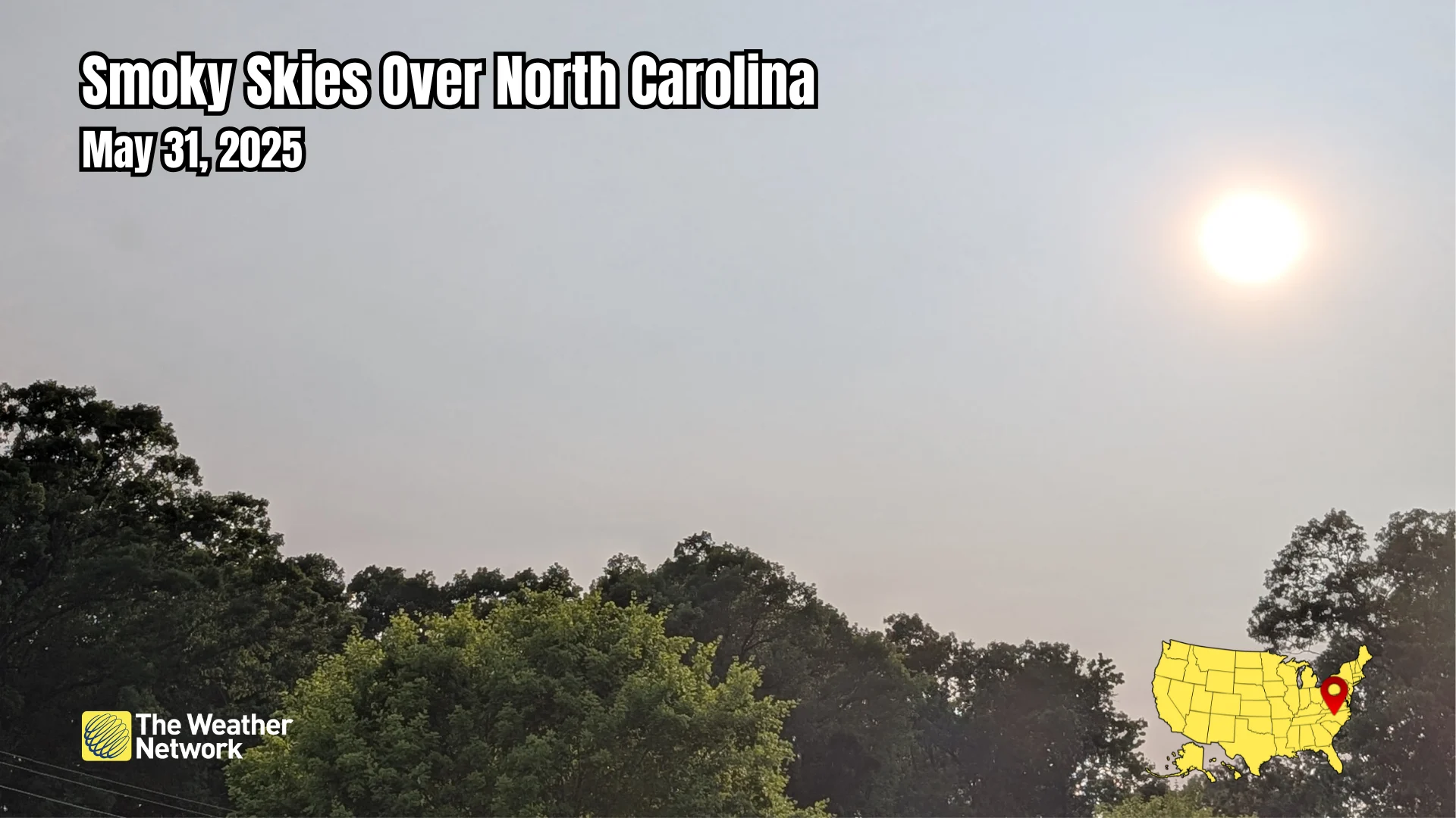
Satellite imagery revealed on Saturday that plumes of smoke high in the atmosphere had spread from the Arctic south toward the Gulf of Mexico, with concentrations varying based on prevailing winds across the region.
A low-pressure system over the eastern U.S. helped drag the upper-level smoke deep into the southeast, reaching as far south as Jacksonville, Florida.
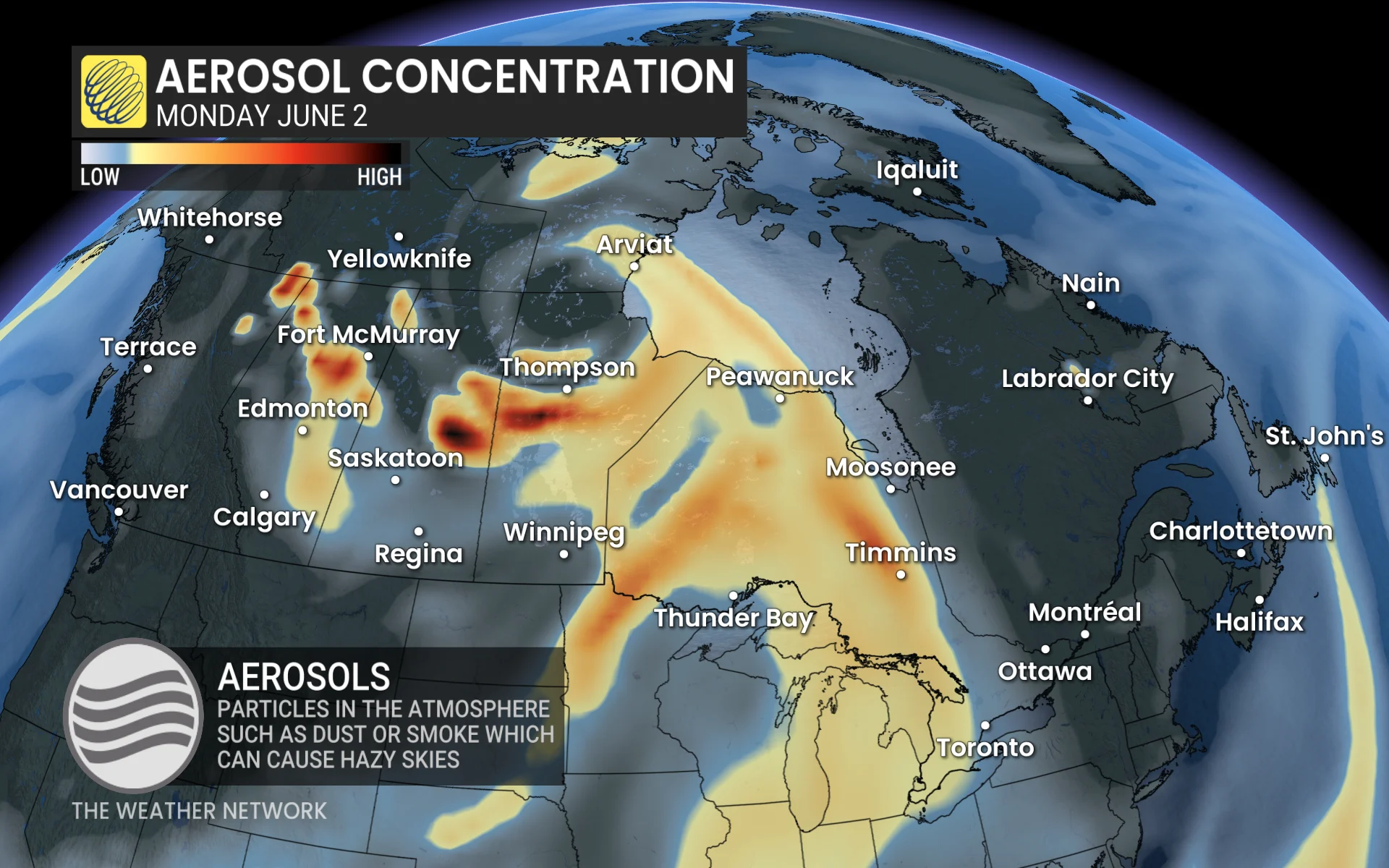
We can expect to see upper-level smoke to continue blowing south by the beginning of the workweek, with very hazy skies likely across much of Ontario.
Shifting winds may blow dense low-level smoke across northwestern Ontario by Monday afternoon, significantly lowering the air quality throughout the region.
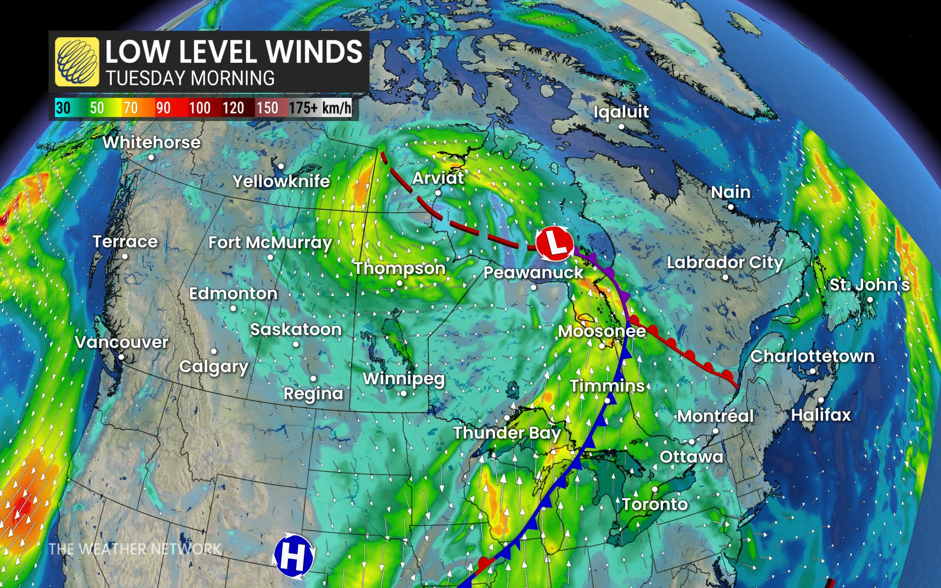
A low-pressure system migrating from the eastern Prairies toward Hudson Bay will help push the smoke east through the first half of the workweek. We can expect to see hazy skies across much of southern Ontario and into Quebec by Tuesday.
Header image created using graphics and imagery from Canva and NOAA.