Rare, multi-lake connection fuels dangerous Ontario snow squalls

An incredibly early snow squall event across southern Ontario is turning heads and making driving treacherous and dangerous through Tuesday
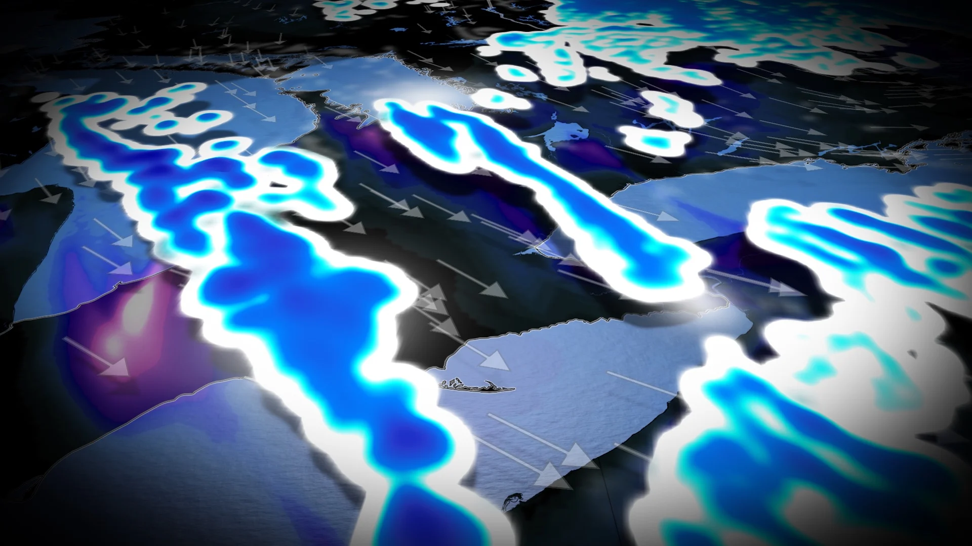
Lake temperatures across the Great Lakes are still running 11°C to 13°C, while Arctic air just 1,500 metres above the surface sits near -12°C. That is twice the threshold needed to trigger snow squall formation.
The result: A powerful, early-season lake-effect machine that’s primed to deliver explosive snowfall rates.
PHOTOS: Southern Ontario coated by its first widespread fall snowfall

Early-season, powerful lake-effect machine
This kind of instability is rocket fuel for snow squalls, bringing snowfall rates up to 10 cm an hour early Tuesday morning for portions of southern Huron County, eastern Middlesex (London), and eastern Elgin County.
Two main trouble zones
Highway 400 corridor to northern Greater Toronto Area (GTA)

Communities such as Markham, Newmarket, King City, Alliston and Shelburne should prepare for intense squall activity. Even Toronto could see up to 5 cm as the band pushes south.
Lake Huron to London area
A long band is forecast to snake off Lake Huron aimed at London, with up to 20-30+ cm of snow, driven by favourable wind alignment and moisture from the trough.

Peak snowfall rates could briefly reach 5-10 cm an hour, creating bursts of whiteout conditions.
Multi-lake twist

What makes this setup particularly exceptional is the squall crossing from Georgian Bay to Niagara, a feat achieved with only 40 kilometres of fetch over the west end of Lake Ontario.
The cross-lake squall connection is typically reserved for the highest calibre snow squall events, highlighting how unstable the atmosphere is.
The instability is so extreme that it’s generating some minor lake-effect snow off of Lake Simcoe, which has a diameter of just 20 kilometres.

Deep moisture from passing trough
The upper-level trough over eastern Ontario is adding depth and lift to the setup, feeding moisture directly into the snow growth zone.

The bottom line
An anomalously cold air mass, warm lakes, and precise wind alignment have combined into a textbook extreme but short-lived squall event.
While the wind shift on Tuesday will end it, the impacts will be intense and localized, especially southeast of Georgian Bay and Lake Huron, where travel could become dangerous with near-zero visibility and rapidly changing conditions.