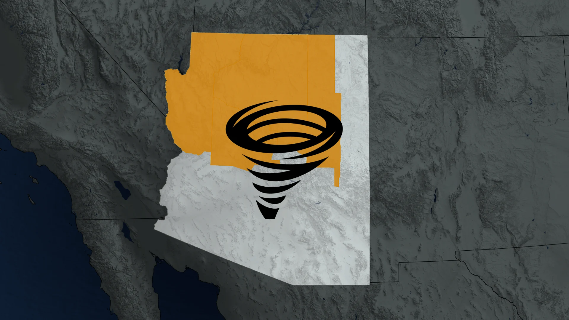
Rare tornado watch in Arizona is its first since 2010
An odd tornado watch was issued in parts of Arizona on Wednesday, an alert that hasn't been generated for the southwestern U.S. desert state since 2010
It's not often you see a tornado watch issued in Arizona, but that's the alert parts of the U.S. desert state is facing on Wednesday.
In fact, the southwestern U.S. state hasn't seen a tornado watch issued since 2010.
On Wednesday, the U.S. National Weather Service's (NWS) Storm Prediction Center (SPC) issued a tornado watch for northern and central Arizona, warning of the chance of twisters until the evening.
NWSSPC says the tornado watch area is approximately along and 112 kilometres north and south of a line from 152 kilometres west of Grand Canyon, Ariz., to 72 kilometres east of Winslow, Ariz.
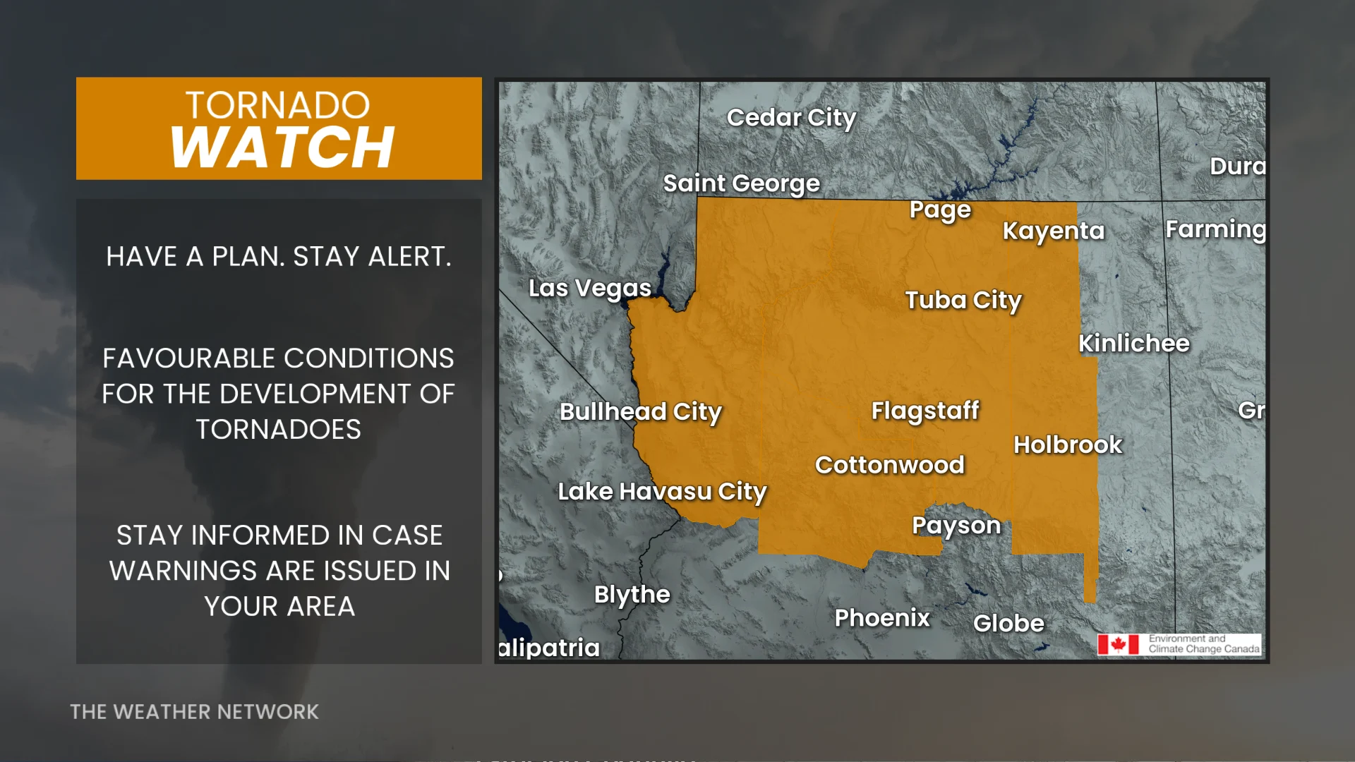
This is Arizona's first enhanced risk since 2019, and the first-ever issued for Flagstaff and Prescott, Ariz.
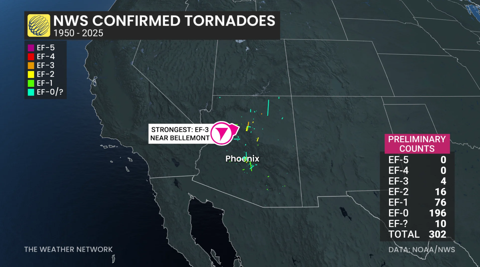
Listed below are documented tornadoes in Arizona between 1950 and 2025. There have been a total of 302 twisters.
EF-3: Four
EF-2: 16
EF-1: 76
EF-0: 196
EF-U (unknown rating): 10
However, the risk of severe weather extends into parts of Nevada and Southern California.
The U.S. weather agency says thunderstorm development is expected to increase across northern and central Arizona this afternoon.
Strong, vertical shear will support supercells capable of all severe hazards, including five-centimetre diameter hail, or larger, and tornadoes.
What's noteworthy about the hail is approximately only 2.7 per cent of the severe hail reports in Arizona since 1955 have been for hailstones larger than five centimetres in diameter.
"Given [the] generally weak, large-scale forcing for ascent, discrete [or] semi-discrete supercells should persist, with an associated risk for a few tornadoes, large hail, and locally severe gusts," the SPC said in Wednesday's storm discussion.
The threat for severe weather will persist throughout the afternoon and into the evening.
With files from Dennis Mersereau, a digital journalist and weather specialist at The Weather Network.