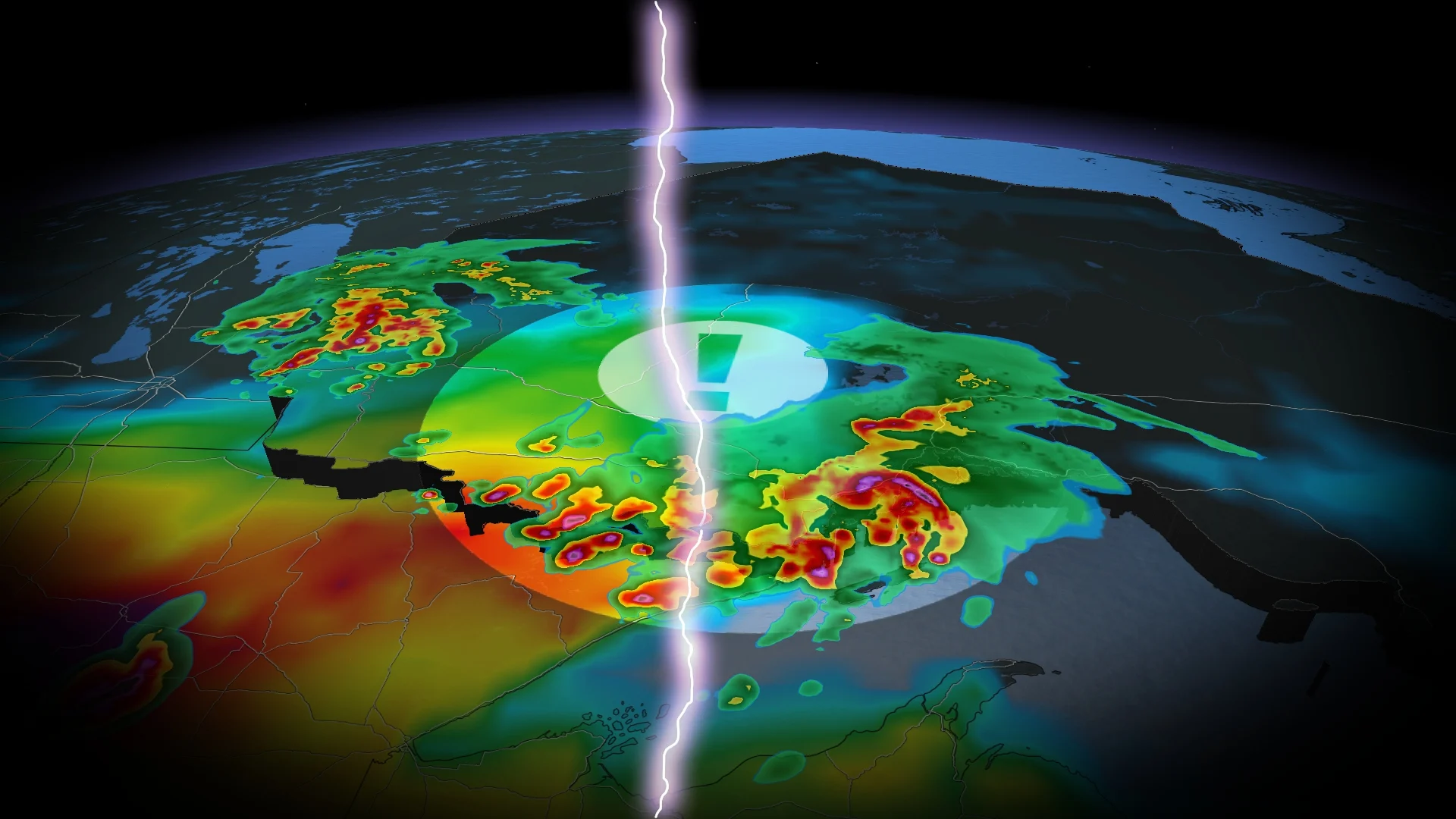
Severe storm risk persists across northern Ontario on Sunday night
Stay aware of rapidly changing conditions even as you wind down for the evening
An active day of severe weather will continue pushing east across the northern half of Ontario through the overnight hours Sunday into Monday.
Keep an eye on the radar and stay aware of watches and warnings in your area. Know where to go and what to do if a tornado warning is issued for your location.
DON’T MISS: What is a mesoscale convective system? How an 'MCS' can spell danger
Strong to severe storms persist overnight
Several rounds of severe thunderstorms swept through northwestern Ontario during the day Sunday, first in the morning and again in the early evening hours.
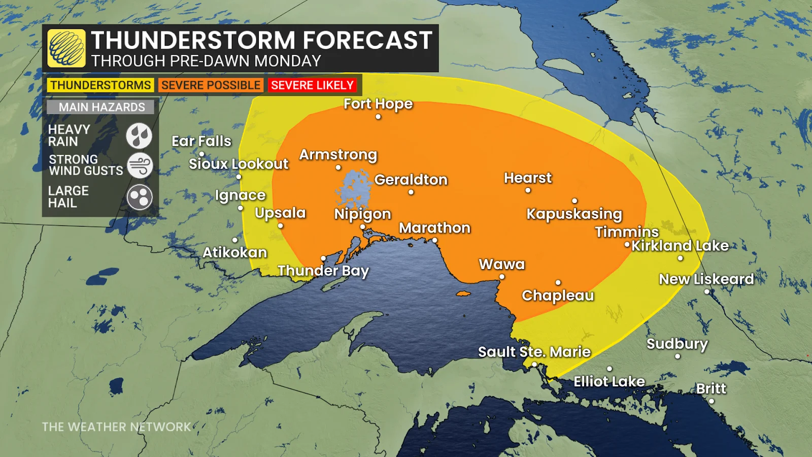
These evening storms will continue pushing east across northern Ontario after sunset, progressing across the province through the overnight hours into early Monday morning.
Any of the stronger storms that sweep through communities like Nipigon, Geraldton, Kapuskasing, Chapleau, and Timmins could pack heavy rainfall, strong wind gusts, and large hail.