Severe weather coming for southern Ontario and your Saturday night plans
Rain from the U.S. Midwest will push into southern Ontario late Saturday afternoon, but don’t cancel your plans just yet
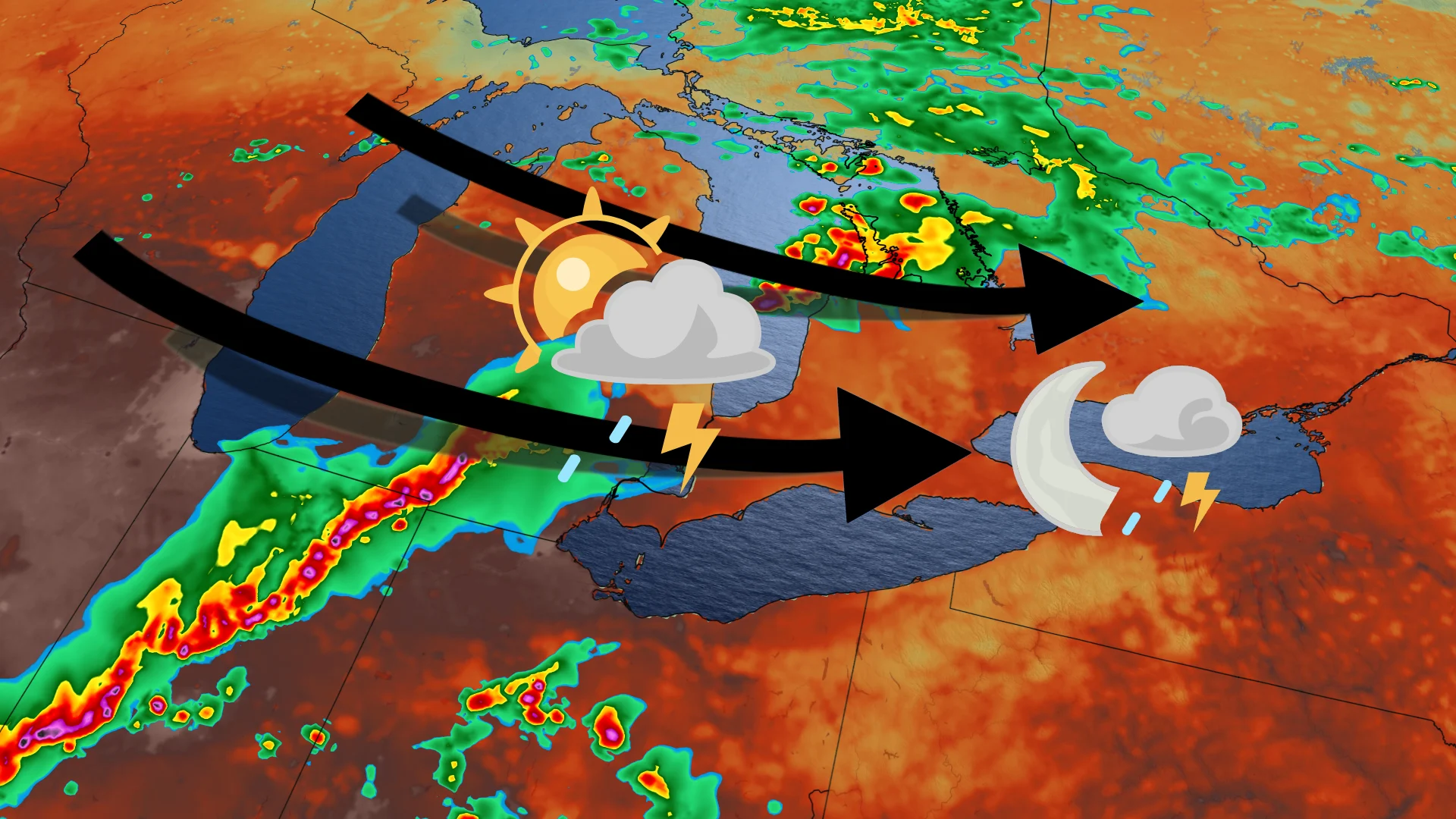
Saturday will see thunderstorms move into southern Ontario, after a hot week of high temperatures across the province.
Thanks to a group of thunderstorms currently moving across the Midwest in the United States, some of the southern parts of the province can expect to see more severe storms.
DON'T MISS: Severe storms cause flooding, prompt evacuations in Quebec Thursday
But the forecasts remain uncertain on the timing and location of the system as it moves east over the Great Lakes.
Both north and south may see some rain
Before the rain really starts to kick off, some scattered showers with embedded thunder potentially extend into the areas around Muskoka and Georgian Bay.
READ MORE: Gulf tropical disturbance brings flash flood risk to millions
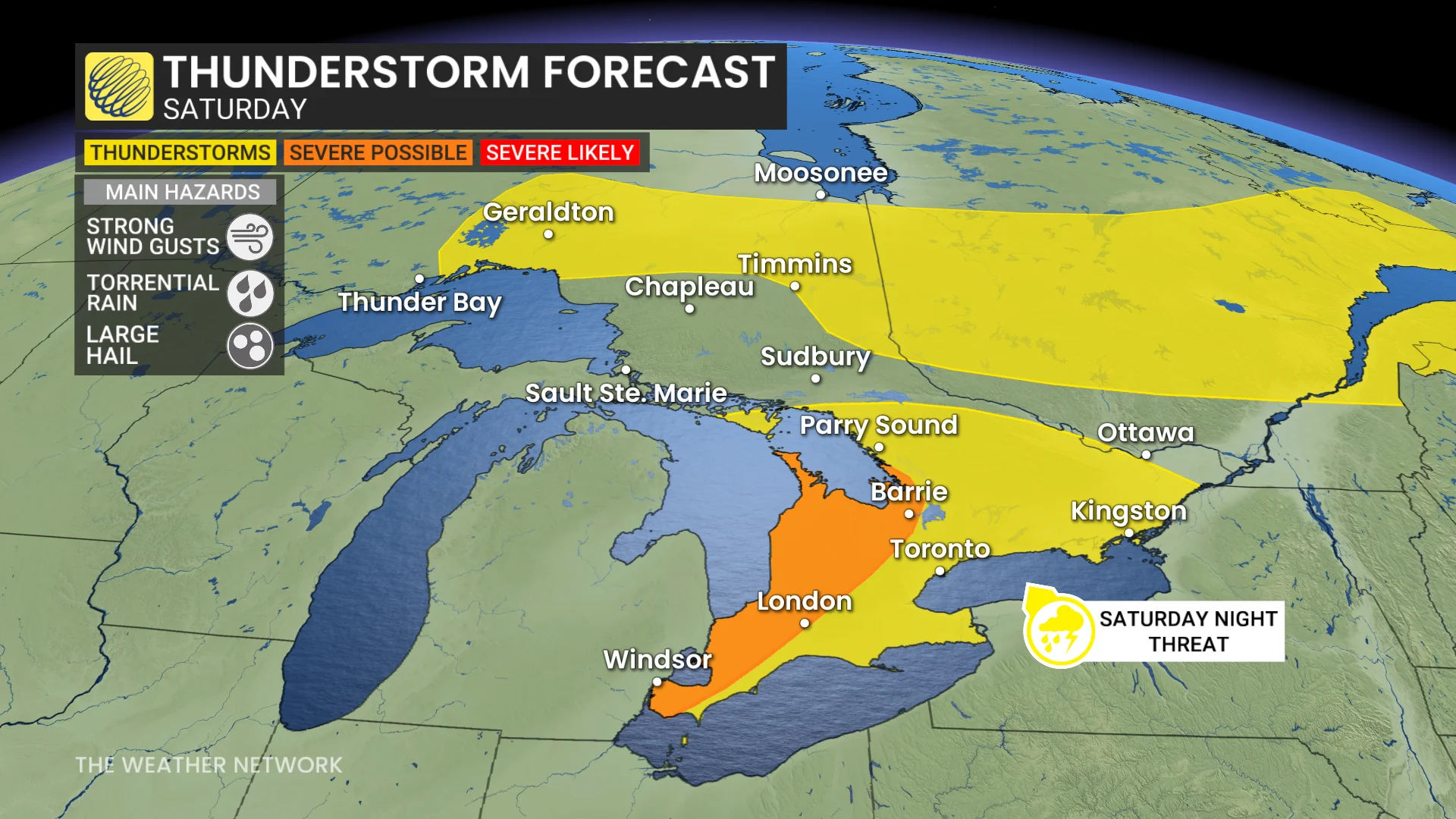
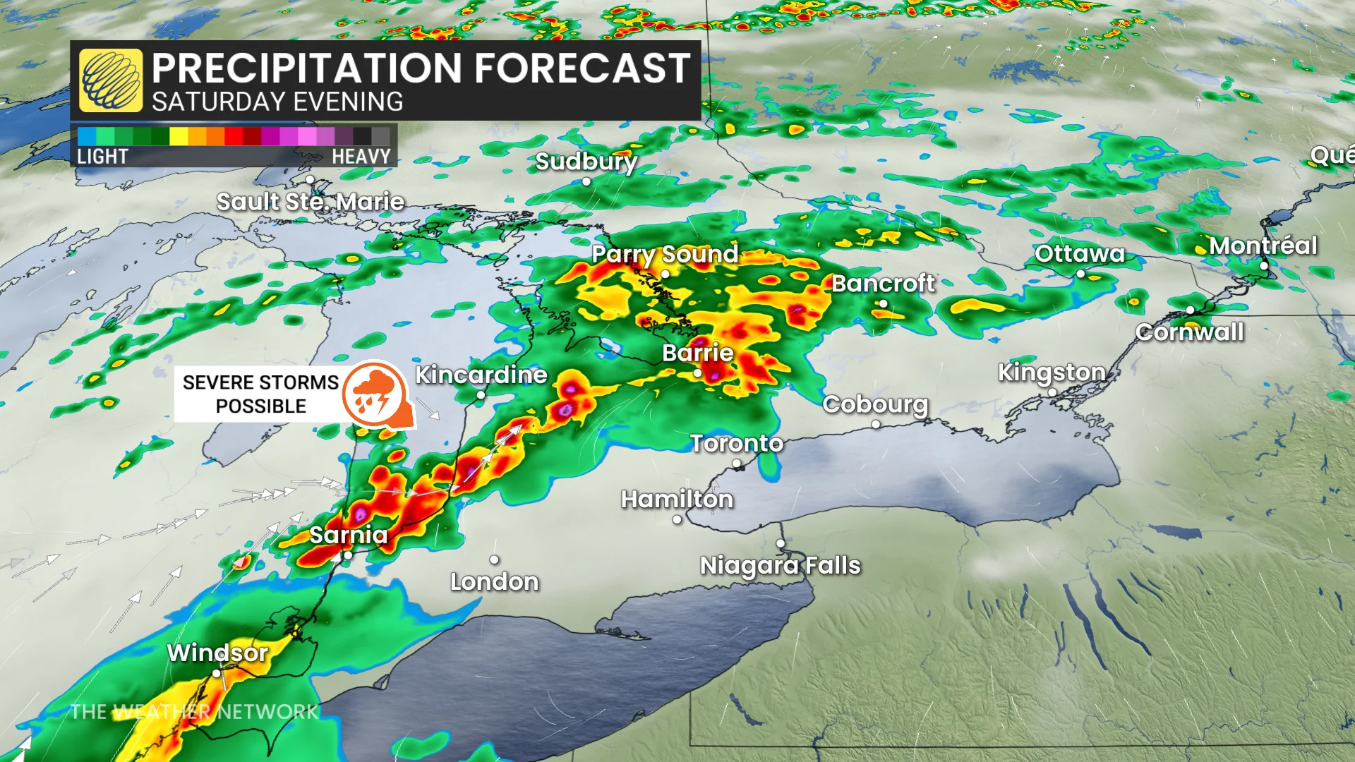
The late afternoon is when we’ll start to see a cluster of storms manifest, moving into Lake Huron and the Georgian Bay shores before reaching inland into southern Ontario.
Between the late afternoon into early evening, that severe weather could hit from regions near Barrie to Sarnia, bringing heavy rainfall, large hail and the risk of strong winds. You may even be able to see a shelf cloud as the storm approaches.
If you're in the Greater Toronto Area (GTA), do not expect a wash out of a day or write off your weekend plans just yet. The morning and afternoon will likely be pleasant, feeling at or close to 30.
The storms will reach the GTA by late evening or overnight, with 10-30+ mm of rain at the most.

For those who do need to replan your outside events, Sunday is expected to be a way better day to spend outdoors.