Snow squalls build into southern Ontario behind weekend storm
Beware rapidly changing conditions over short distances as bursts of snow snake inland off the lakes Monday and Tuesday
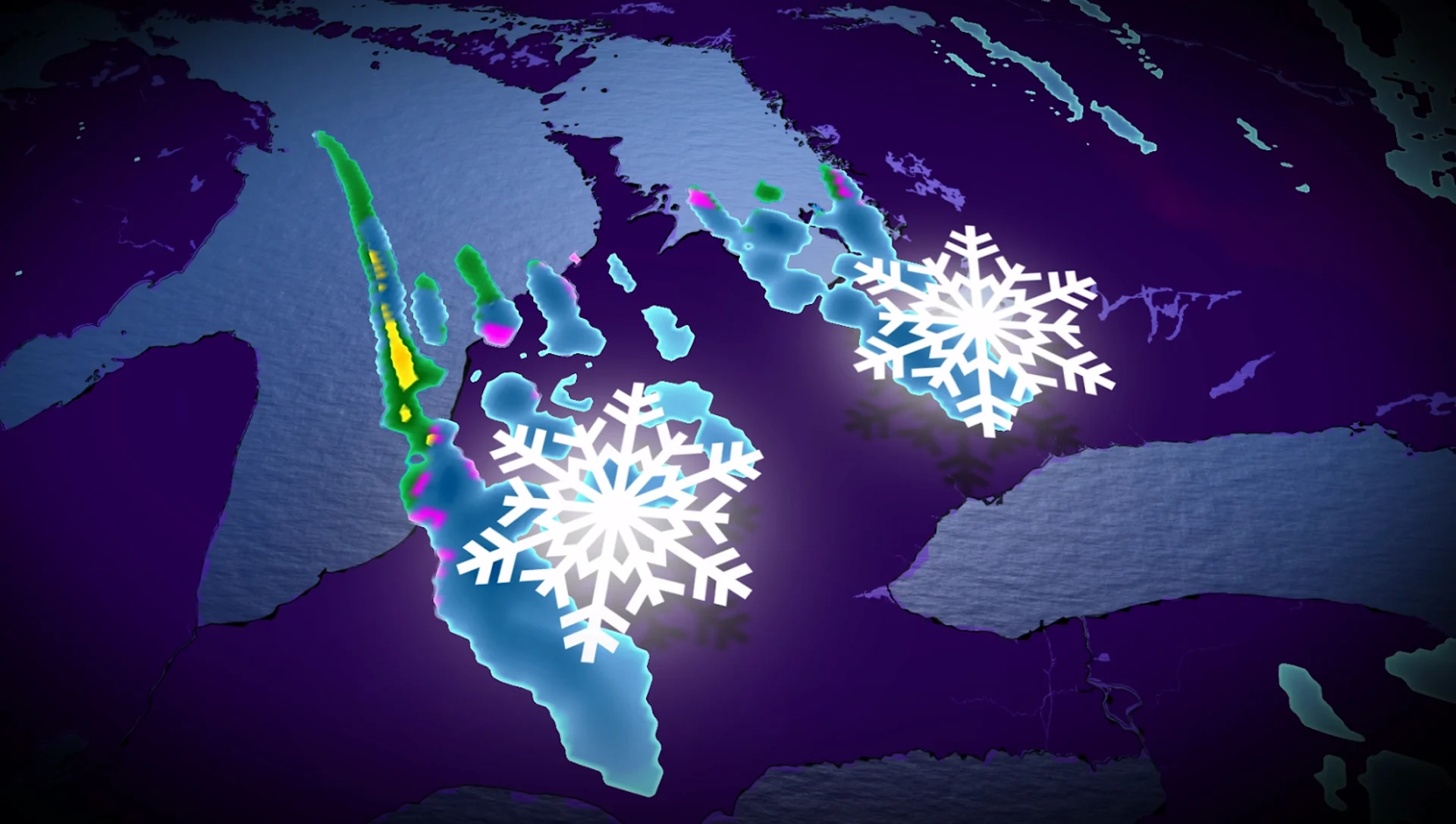
Potent snow squalls will develop off Lake Huron and Georgian Bay into the day Monday and Tuesday as Arctic air sweeps across the region.
While the most snow will remain confined to the traditional snowbelts, we could see additional flakes wander into the Greater Toronto Area later on Monday.
Visibility and road conditions can change rapidly over short distances in and around snow squalls. Remain cautious if you’re driving through the affected areas.

PHOTOS: Southern Ontario coated by its first widespread fall snowfall
Bands of lake-effect snow will soon develop
A lively early-season snowfall brought widespread accumulations to southern Ontario on Sunday. Toronto witnessed its earliest 5+ cm snowfall total in 56 years, a testament to the unusual nature of this early-season event.

The snow isn’t done just yet.
Winds shifting around to the north will ignite snow squalls across Lake Huron and Georgian Bay. We’ll see the activity develop early Monday as bursts of snow move along Highway 21 between Kincardine and Sarnia. Additional light snow is expected south of Georgian Bay.

WATCH: Perfect packing snow blankets southern Ontario
RELATED: Thundersnow is a rare and electrifying experience
By Monday afternoon, multiple snow squalls will stream off Lake Huron and Georgian Bay. This will lead to an increased risk for localized whiteouts. Thundersnow is possible during the highest snowfall rates off Lake Huron on Monday.
Drivers will encounter rapidly changing conditions, and road closures are possible. Many vehicles are still without their winter tires, which could lead to an elevated risk for spinouts, skids, and collisions.
Northwesterly winds will continue to drive snow from Georgian Bay even as far south as the Greater Toronto Area, with the band dissipating by Tuesday morning.

Lake Huron will continue to generate snow squalls through early Tuesday afternoon.
Snowfall totals will be highly variable and dependent on where the bands of snow set up shop and meander. We can expect 5-15 cm of snow with most of the squall activity, with locally higher totals of 20+ cm possible beneath any squalls that remain stationary.
Stay with The Weather Network for all the latest on conditions across southern Ontario.