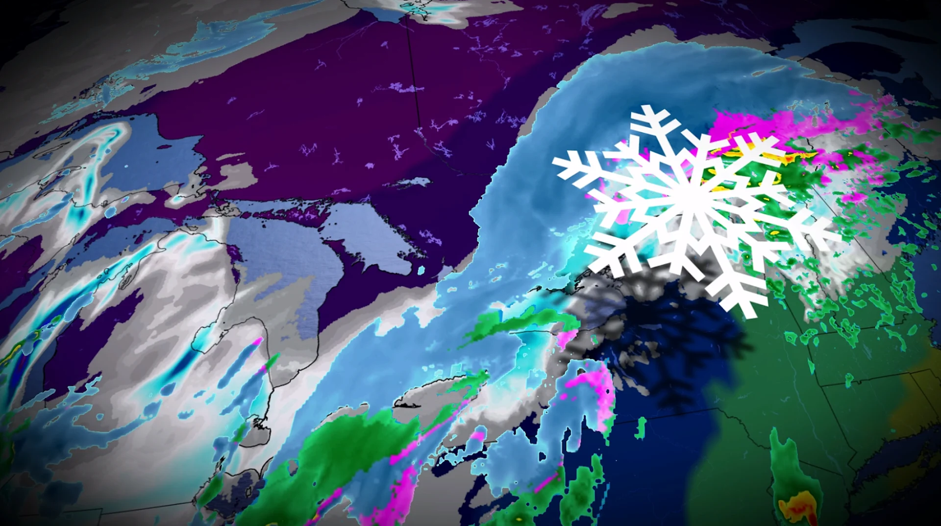
Roads remain slick as early-season snow hits southern Ontario
Use caution while walking or driving in southern Ontario through Monday morning as roads remain slick from Sunday’s snowfall
Toronto recorded its earliest 5+ cm snowfall in 56 years on Sunday as an early-season snowfall blanketed much of southern Ontario.
Snow will continue throughout parts of the region through the evening hours. Even where the snow has ended, expect roads to remain slippery, and traffic to remain slow, heading into the Monday morning commute.
All eyes will turn toward building snow squalls during the day Monday.
PHOTOS: Southern Ontario coated by its first widespread fall snowfall
Snow continues, mainly in eastern Ontario
Many communities throughout southern Ontario saw a shovellable snowfall from this event.
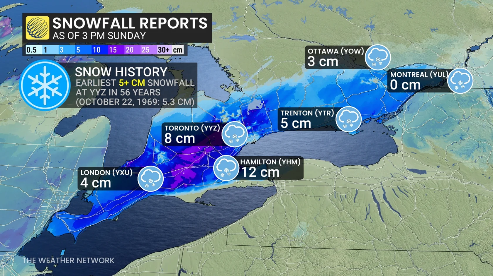
As of 3 p.m. Sunday, Toronto-Pearson Airport had picked up 8 cm of accumulation. Observers in Hamilton measured 12 cm of snow, while 3 cm had fallen over in Ottawa where the event was still getting started.
Snow is tapering off across southwestern Ontario and the Greater Toronto Area as our system moves off to the east.

Heavier snow that arrived in eastern Ontario on Sunday afternoon will linger through the evening hours.
Arctic air filtering into the Great Lakes behind this system will generate bands of lake-effect snow off Lake Huron and Georgian Bay, which could lead to additional accumulations and further snarl traffic in the affected areas.
Safety tips for driving in adverse weather
Install winter tires. Winter tires can improve stopping distance by up to 30 per cent in wintry conditions.
Prepare an emergency kit. Include the basics like snacks, first aid kit, flashlights and blankets.
Plan your travel. If possible, postpone trips during active weather and especially freezing rain. Driving is not worth the risk.
Adjust your speed. A gentle reminder that stopping distance increases exponentially as your speed increases.
Stay with The Weather Network for all the latest on conditions across southern Ontario.