Snowier pattern for Atlantic Canada as forecast may 'buck the trend' for some
In a season that has seen wildly uneven snowfall amounts across Atlantic Canada, find out if this week will buck the trend.
The forecast has shifted towards a snowier pattern this week across the Maritimes.
In a season that has seen wildly uneven snowfall amounts across Atlantic Canada, find out if this week will buck the trend.
DON'T MISS: Canada’s 2025-26 winter report card: Did your province pass?
Tons of cold air have been pouring across the Atlantic Ocean thanks to Arctic air from the North Pole.
This acts like storm fuel, enhancing the development of low-pressure systems south of Atlantic Canada.
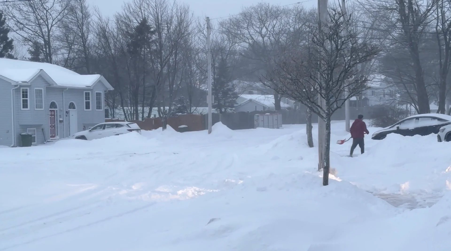
More snow ahead this week
On Tuesday, a trough drifts in from the north across Newfoundland, bringing bursts of snowfall. It is forecast to deliver 10-20 cm of snowfall across northern Newfoundland.
On Wednesday, the most intriguing part of the forecast is a more organized area of low pressure that models had a hard time resolving this past weekend.

The low will now be stronger and closer to the coast of Nova Scotia, meaning a prime position to deliver a swath of heavy snowfall.
Earliest snow arrival is forecast Wednesday morning across the western Maritimes, before the low lifts northeast through the afternoon and evening.
Snow will be heavy and wet in nature, with temperatures hovering near 0°C along the coast.
By early Thursday, accumulating snowfall pushes across Newfoundland as the warm front associated with the low lifts northward.

A warm front may drive temperatures above the freezing mark across eastern Newfoundland, while wet snow continues over central and western areas.
Questions about the upcoming snowfall
Will the low be windy?
A: Not particularly, gusts will generally remain below 60 km/h across Nova Scotia. But sustained winds of 20-30 km/h are still likely to cause some blowing and drifting snow.
What’s the fastest forecast snowfall rate?
A: Throughout Wednesday afternoon and evening, a band of locally heavy snow is forecast to bring up to 2-3 cm an hour.

What’s the current range of snowfall scenarios across Nova Scotia?
A: Low-end: 5-10 cm
Expect: 10-20 cm
Storm maximum: 20-30 cm
Will New Brunswick and P.E.I. see accumulating snowfall?
A: Yes, favouring eastern and southern sections of New Brunswick (5-10+cm is possible), with central P.E.I. will potentially pick up close to 10 cm.

Seasonal snowfall since Dec. 1
New Brunswick
Moncton:114 cm (below normal)
P.E.I.
Charlottetown: 44 cm (well below normal)
Nova Scotia
Halifax: 110 cm (near normal)
Sydney: 182 cm (above normal)
Newfoundland
St. John’s: 199 cm (above normal)
Gander:286 cm (well above normal)
Stay with The Weather Network for all the latest East Coast forecast updates.