Severe weather risk could disrupt your weekend in Ontario
Strong wind gusts and torrential rain will pose the main threat in Saturday’s storms across southern Ontario and parts of cottage country
The lower humidity that arrived in southern Ontario on Thursday and Friday brought some gorgeous mid-July weather to the region. A change is coming, though, and it’s one that’ll require folks across the region to keep an eye to the sky.
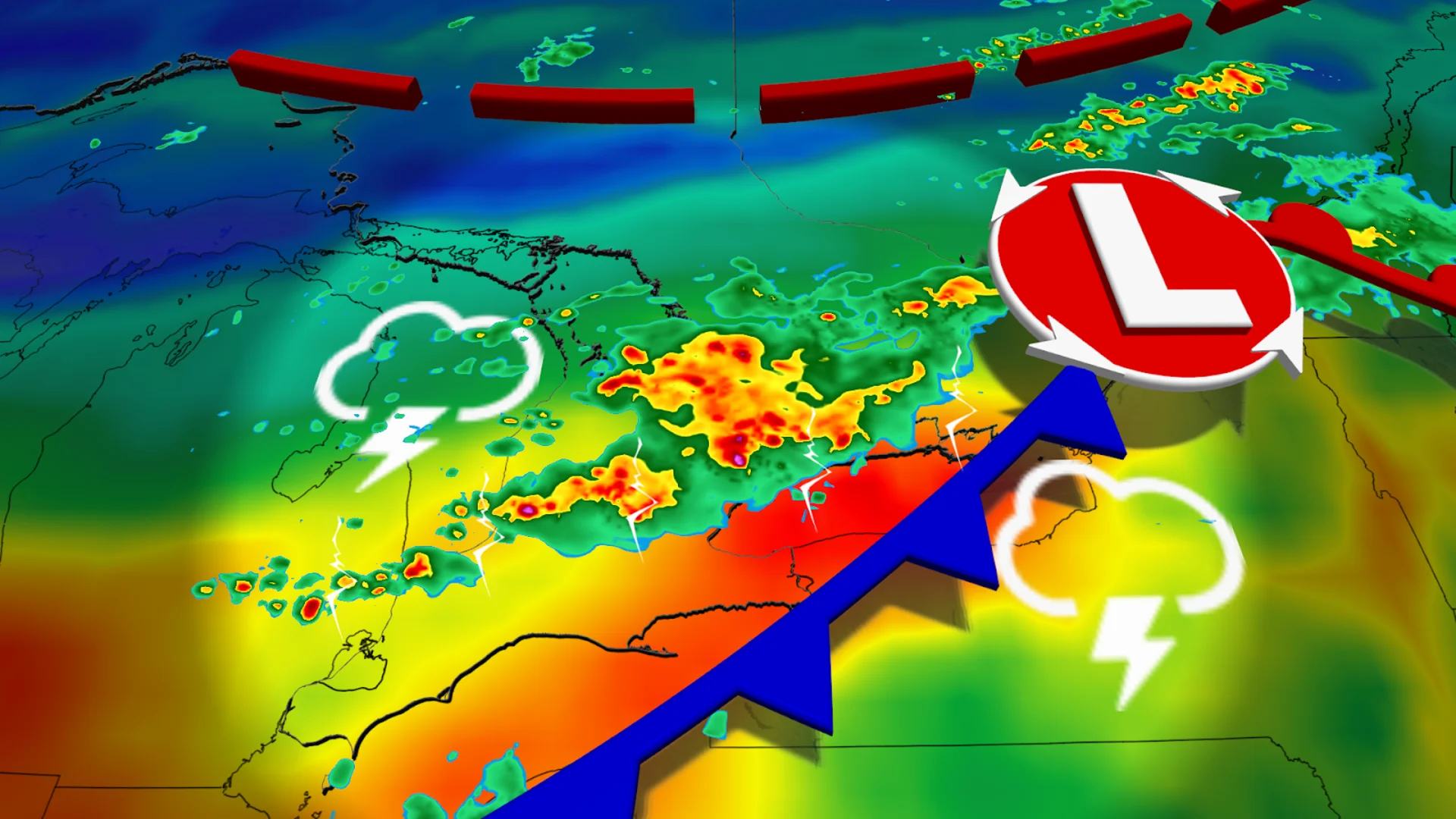
A low-pressure system moving into the Great Lakes on Saturday will help spark strong to severe thunderstorms across southern Ontario.
DON'T MISS: See fireballs and meteors crisscross the night sky over the next month
Keep an eye on the radar and listen for severe weather alerts in your area as you go about your day.
A low-pressure system moving into the Great Lakes region on Saturday will send temperatures soaring to the 30-degree mark in spots as a warm front lifts across Ontario. This system will help spark scattered showers for central Ontario during the day.
As the day progresses, we’ll see thunderstorms develop stateside and push toward southern Ontario during the afternoon hours. By late Saturday afternoon, a cluster of storms may move toward the shores of Lake Huron and Georgian Bay.
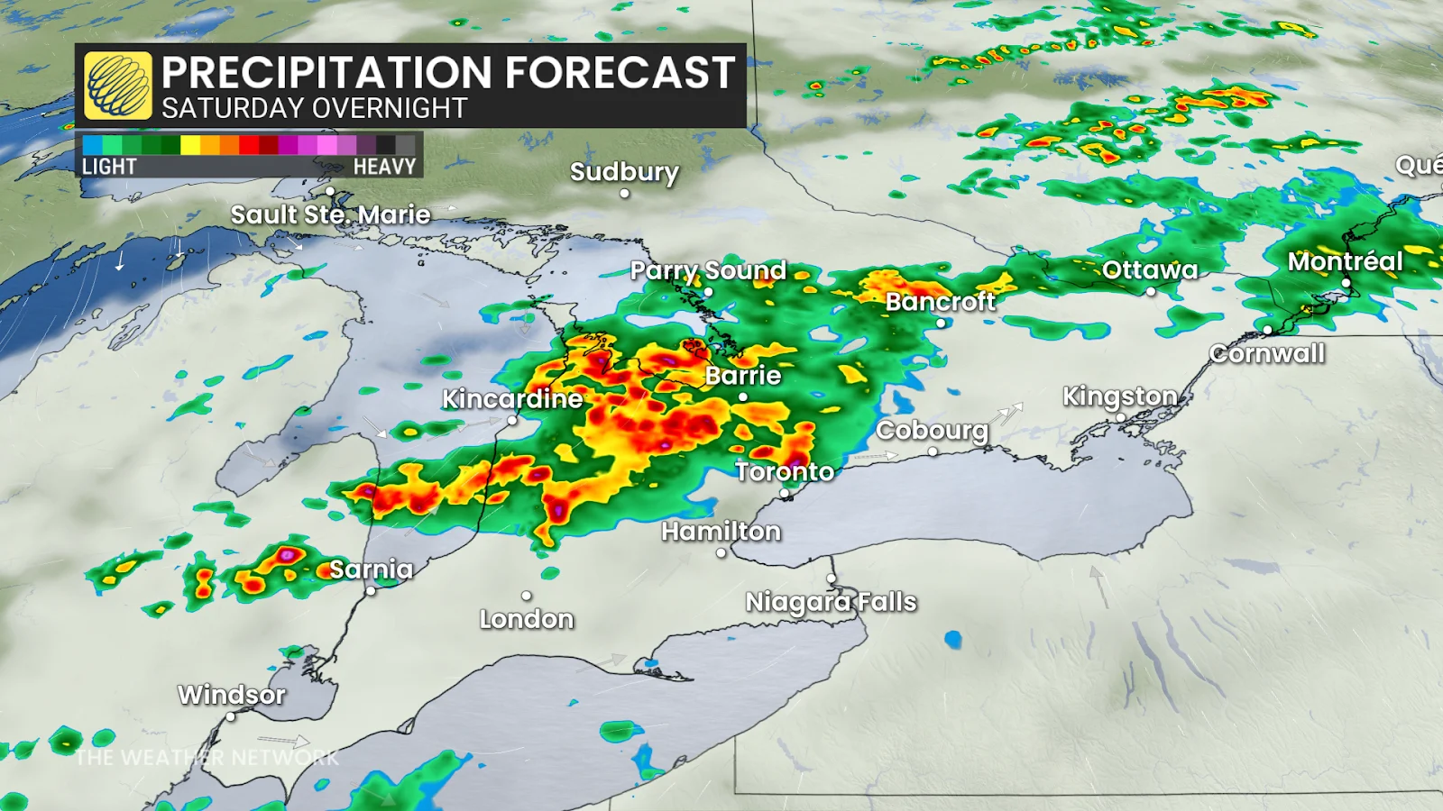
Severe weather is possible from Muskoka to Sarnia by late evening and into the overnight. Strong wind gusts and heavy rainfall appear to be the main threats at this time.

We’ll see thunderstorms reach the Greater Toronto Area (GTA) by the late evening or overnight hours. It’s uncertain whether these storms will be able to hold on to their intensity by the time they encroach on the GTA, but folks can still expect frequent lightning, heavy rains, and strong winds.
Saturday’s storms won’t be fuelled by the same level of humidity we’ve seen lately, so rainfall totals should remain lower with 10-30+ mm on tap for areas that experience storm activity.

Sunday will feature much more pleasant weather, although we could see some lingering showers on the back end of Saturday's low-pressure system. Luckily, an incoming area of high pressure should clear up the remainder of the rain. Temperatures are expected to stay around seasonal, with some humidity sticking around.
Stay with The Weather Network for all the latest on conditions across Ontario.