Strong cold front to hit Alberta with big temperature drop, snow, and winds
A strong cold front will bring a significant temperature drop to Alberta this week
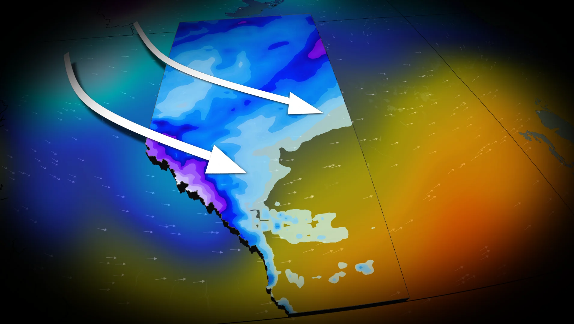
A strong cold front is forecast to bring significant weather changes to Alberta as this week ends.
Southern Alberta will first experience a chinook on Thursday as the jet stream surges over the Rockies.

This will lead to sinking, dry air and above-seasonal conditions, with daytime highs soaring 10°C to 15°C above average.
DON'T MISS: Deadly differences: The 'Snow Eater' vs the 'Devil Winds'
However, this comes with another round of gusty winds, especially near the foothills. Wind warnings are anticipated, with localized gusts exceeding 100 km/h by Thursday afternoon. Widespread winds of 60-90 km/h are expected across the region by evening.

As a low pressure system forms over central Alberta, widespread snowfall is forecast for northern regions of the province. A snowfall warning is in effect for the Rockies, with 15-30 cm of snow possible from Thursday night into Friday. The heaviest snowfall is expected over higher elevations, including sections of Highway 93.
Lower elevations, such as Banff and Jasper, are likely to see little to no significant snow accumulation.
Meanwhile, central Alberta will see the sharpest 24-hour temperature drop, with Calgary and Red Deer expecting falls of 13°C and 12°C, respectively.

SEE ALSO: What does a classic fall storm look like in your part of Canada?
From well-above seasonal temperatures to snow, brace for quickly changing conditions
The passage of the cold front will bring a return to below-seasonal conditions across Alberta into Friday.

The transition will bring a mix of rain and snow to the southern regions of the province.
Residents are advised to monitor local forecasts and be prepared for rapidly changing conditions.
WATCH: Despite economy, winter tires still a priority for Canadians
Be sure to check back for the latest weather updates across Alberta.