Strong cold front to hit Alberta with big temperature drop, snow, and winds
A strong cold front will bring a significant temperature drop to Alberta this week
A strong cold front is forecast to bring significant weather changes to Alberta as this week ends.
Southern Alberta will first experience a chinook on Thursday as the jet stream surges over the Rockies.

This will lead to sinking, dry air and above-seasonal conditions, with daytime highs soaring 10°C to 15°C above average.
DON'T MISS: Deadly differences: The 'Snow Eater' vs the 'Devil Winds'
However, this comes with another round of gusty winds, especially near the foothills. Wind warnings are anticipated, with localized gusts exceeding 100 km/h by Thursday afternoon. Widespread winds of 60-90 km/h are expected across the region by evening.

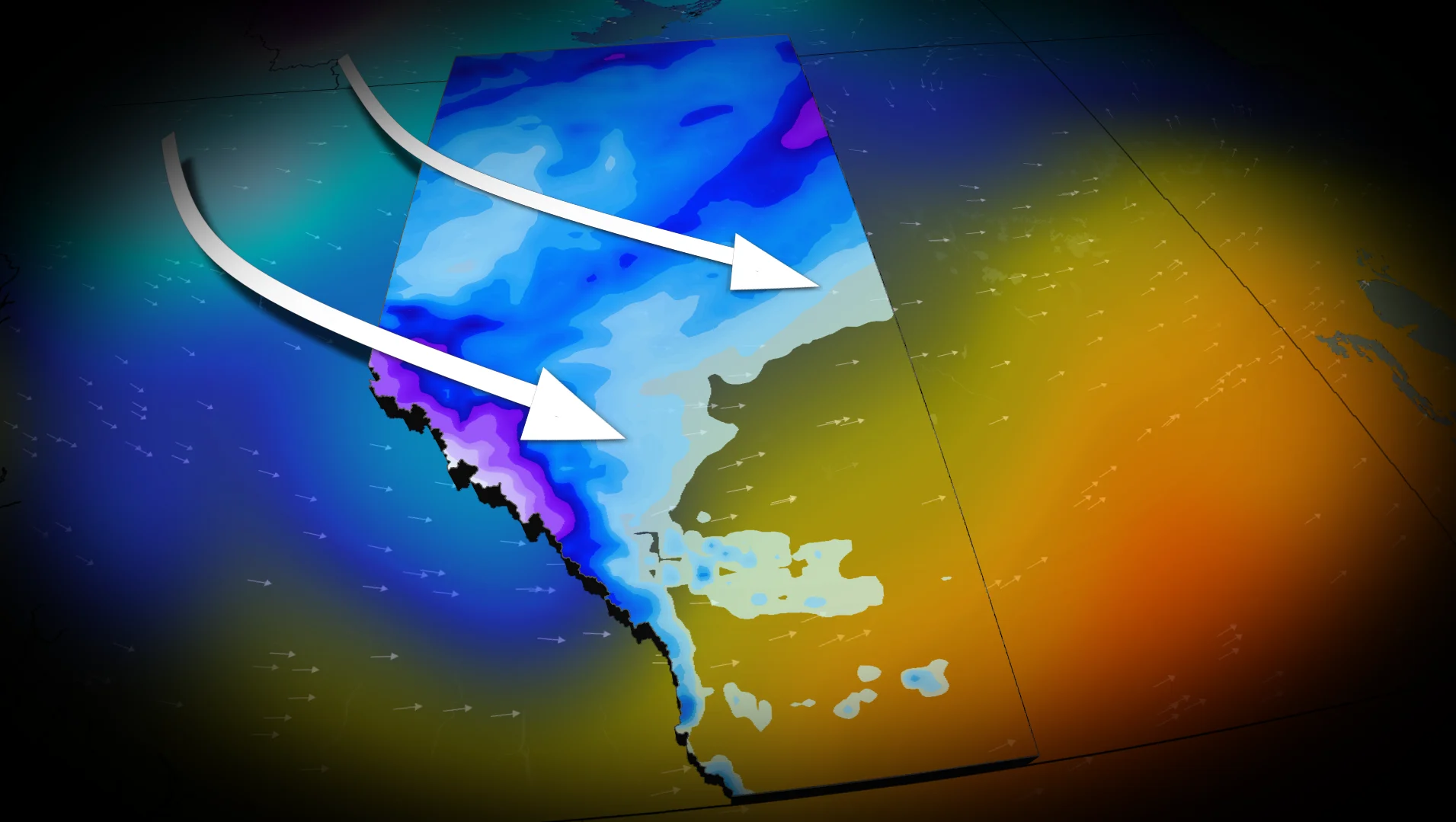
As a low pressure system forms over central Alberta, widespread snowfall is forecast Friday for northern regions of the province.
Meanwhile, central Alberta will see the sharpest 24-hour temperature drop, with Calgary and Red Deer expecting falls of 13°C and 12°C, respectively.
SEE ALSO: What does a classic fall storm look like in your part of Canada?
From well-above seasonal temperatures to snow, brace for quickly changing conditions
The passage of the cold front will bring a return to below-seasonal conditions across Alberta into Friday.

The transition will bring a mix of rain and snow to the southern regions of the province.
Residents are advised to monitor local forecasts and be prepared for rapidly changing conditions.
WATCH: Despite economy, winter tires still a priority for Canadians
Be sure to check back for the latest weather updates across Alberta.