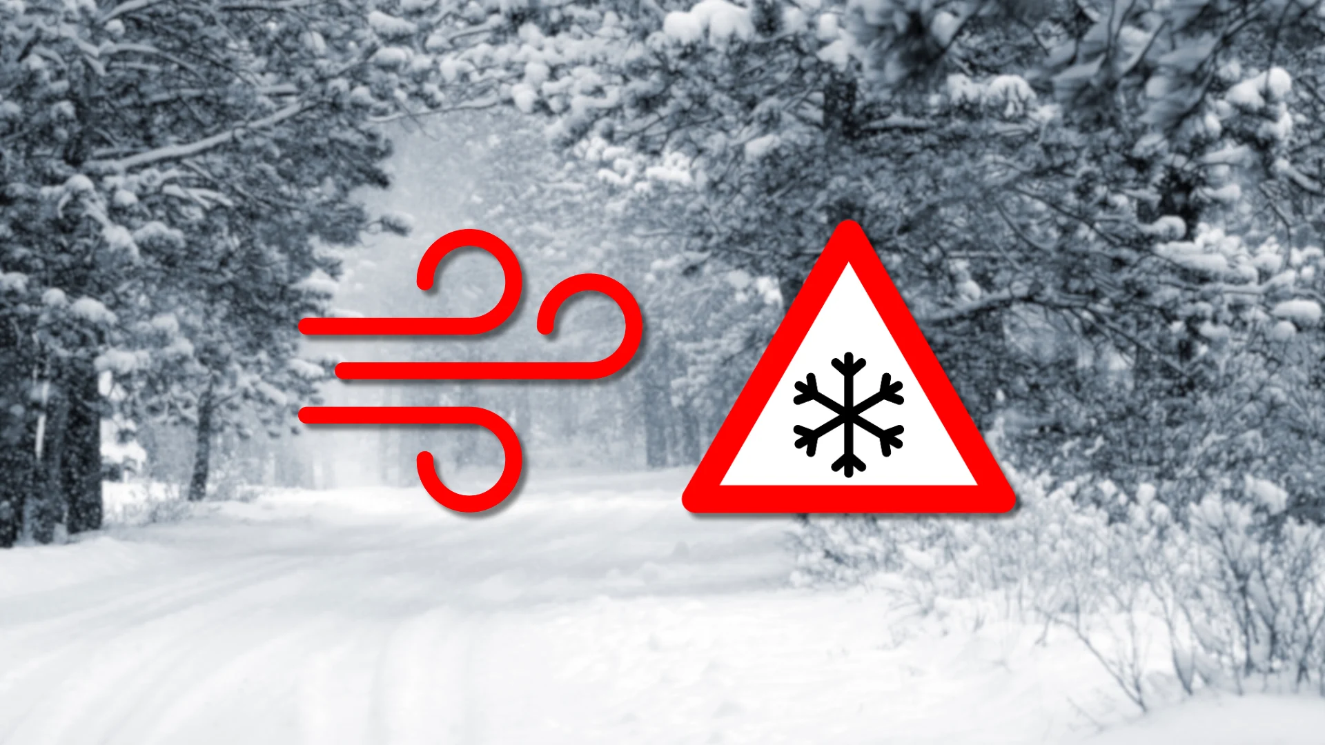
Travel issues persist as winds, heavy snow linger across Alberta
Though winds will calm through the overnight hours, expect snow to persist into Saturday for parts of Alberta
Expect disruptions to continue across much of Alberta into the start of the weekend as a disruptive storm pushes through the region.
High winds and snowsqualls led to significant travel issues and power outages through the day Friday.
Be sure to plan accordingly and check local updates for the latest weather alerts.
DON'T MISS: Summer Sneak Peek: El Niño may split Canada’s summer in two

Snowfall
Snowsqualls are expected to ease into Friday evening, but widespread snowfall could persist across central and eastern Alberta overnight.

Flurries and lingering snowsqualls will continue into Saturday before drier conditions arrive by Sunday. However, light flurries may persist near the foothills over the weekend.
RELATED: What turns a snowstorm into a raging blizzard?
Friday’s roaring winds will gradually calm overnight Friday and significantly improve into Saturday, when occasional gusts could reach 30-50 km/h.
Impacts
Hazardous weather forced the closure of Highway 63 in northeastern Alberta earlier Friday, with reports of hundreds of stranded motorists and local emergency alerts issued.
Calgary and surrounding areas also endured scattered power outages due to high winds on Friday.
Long-range outlook
A drier pattern is expected next week, as a building ridge over B.C. may shift into Alberta, bringing temperatures into the teens and low 20s by early May.

This warming trend could increase flooding risks across northern Alberta due to significant snowpack melt in those areas.
Stay tuned to The Weather Network as we continue to update the forecast for Alberta.