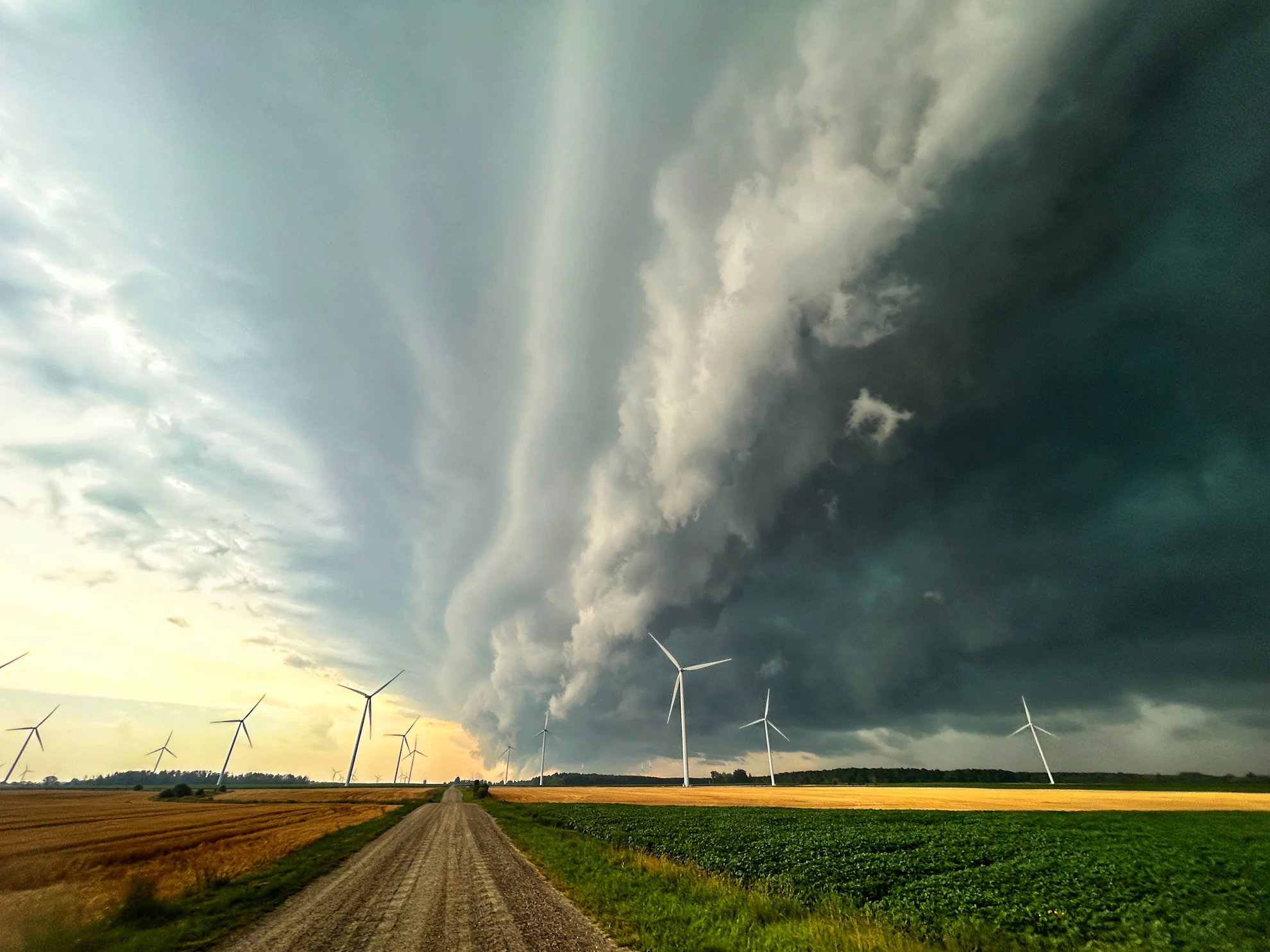
Damage, power outages reported as storms sweep through Ontario, Quebec
Power outages and downed trees are reported as storms fire up across parts of Ontario and Quebec. Folks are reminded to take shelter immediately if and when severe weather strikes.
Heat and humidity return to Central Canada, elevating the thunderstorm risk in both Ontario and Quebec Thursday.
Severe weather is leaving its mark on Ontario. As of 7:50 p.m., about 40,000 customers were without power, according to Hydro One.
DON’T MISS: Dangerously hot weather about to spread back into Ontario again
Several lines of severe thunderstorms are expected to continue into the evening hours. Key factors driving this weather include moisture, instability, wind shear, and a low pressure system acting as a trigger.
While the main risks are hail, heavy downpours and potent, potentially damaging wind gusts, there is a chance of rotation and one or two tornadoes for parts of northeastern Ontario, Lake Huron-Georgian Bay shores and Quebec.

Make sure you keep an eye on the radar––especially if you have outdoor plans––and stay aware of any severe weather watches or warnings issued in your area.
Tornado warnings were issued across several parts of northern and southern Ontario Thursday afternoon. While officials have yet to confirm if a tornado has touched down anywhere, there have been several reports of damage, particularly in the Mitchell area in southwestern Ontario.
Additionally, the same storm was also sweeping across parts of Quebec, where reports of wind damage also surfaced late Thursday afternoon.

Ferme-Neuve, Quebec, July 24, 2025. (Credit: Annie Claude/submitted)
For more photos and videos from these powerful storms, click here.
8-9 p.m.
As storms mature, a transition to a more linear pattern is expected, increasing the likelihood of damaging wind gusts between 90–100+ km/h, particularly along Georgian Bay and Lake Huron Shores from 7–8 p.m. onwards.

Late evening and overnight:
Thunderstorms may reach the northern Greater Toronto Area (GTA) during the late evening or overnight hours, but will weaken as energy diminishes.
DON'T MISS: Why nocturnal thunderstorms can be particularly dangerous
Rainy periods could persist into Friday morning for parts of the GTA.

Signs of cooler weather for the August long weekend
Early next week, conditions will stay mostly sunny, hot, and humid, accompanied by a chance of passing thunderstorms. A strong cold front is expected to sweep south through the region midweek, bringing a heightened risk of thunderstorms.
By late next week, cooler air will settle in, with temperatures expected to remain below seasonal averages through the August long weekend and into the first week of the month. However, a return to significantly warmer weather is anticipated for the second week of August.
Stay with The Weather Network for more information and updates on your weather across Ontario and Quebec.
