Thunderstorms roll through as Toronto set to see temperature heartbreak

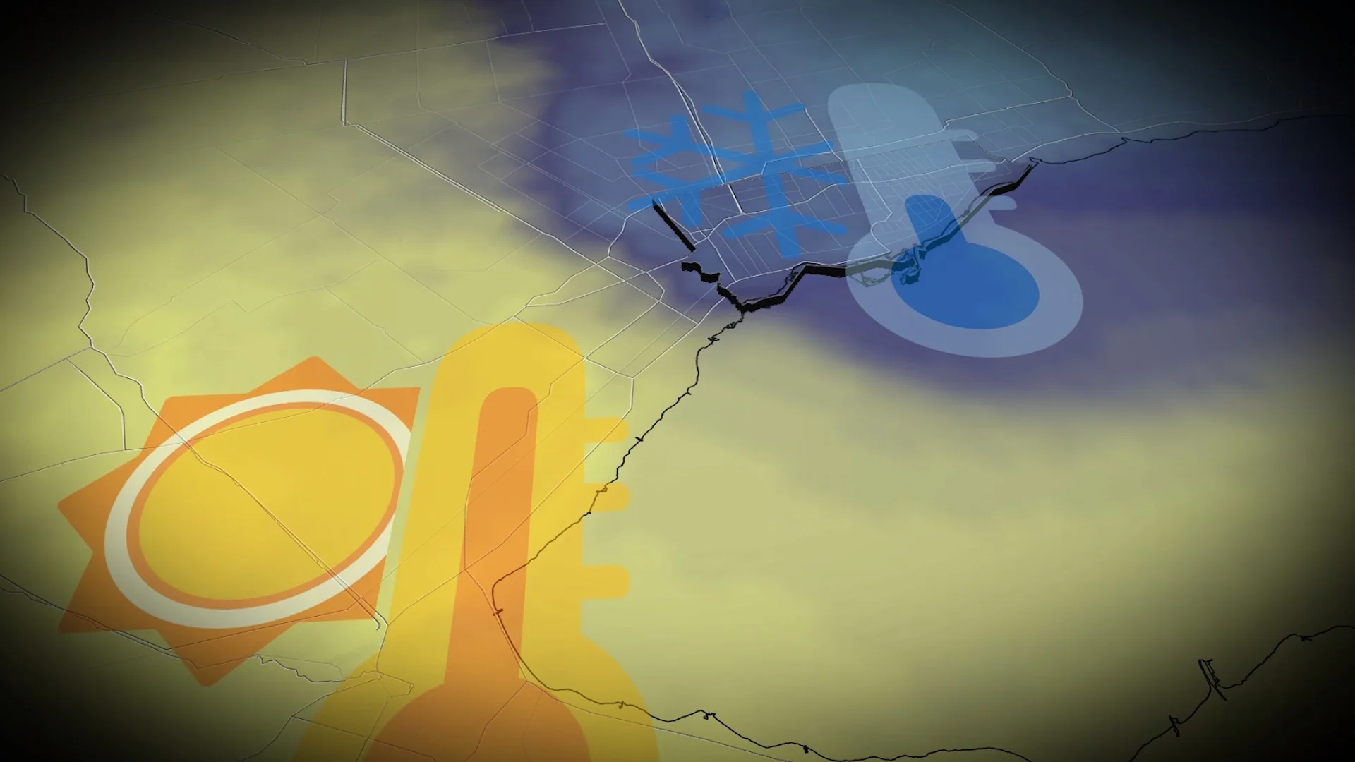
A significant temperature divide will occur across the Greater Toronto Area (GTA) on Saturday, along with thunderstorms. While southern areas enjoy double-digit warmth, a change is on the way with significant snowfall for some of the snowbelt areas by Monday
A temperature heartbreak is coming for Toronto on Saturday.
Head to Hamilton if you’re seeking a surge of temperatures that are more typical of early October, not mid-November.
Our clipper system moving into northern Ontario to start the weekend will help to promote a strong, southerly flow across southern Ontario. That will drive temperatures into mid-teens in southwestern Ontario and into the double digits for the Greater Toronto Area (GTA).
DON’T MISS: Beware the dangers of fall snowstorms across Canada
An approaching area of low pressure brings a general southeast flow across the GTA, holding temperatures in the single digits through much of Saturday afternoon.
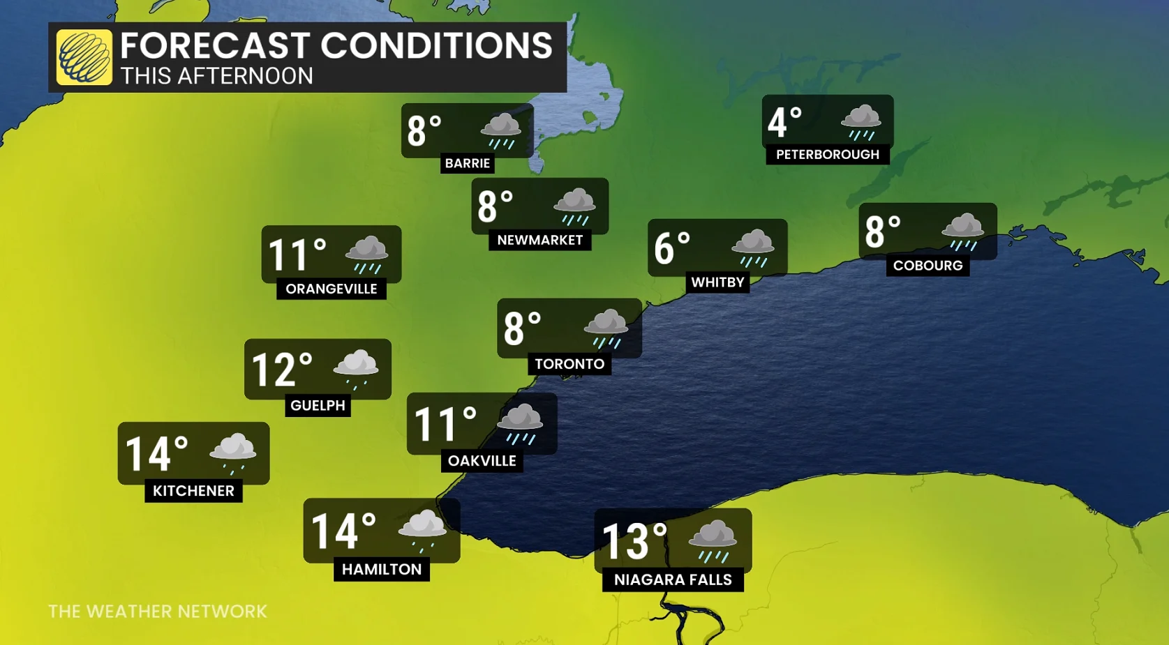
As the low-pressure centre slides across Georgian Bay, a warm front will attempt to push eastward, initiating a much milder, southwesterly flow above the escarpment by the dinner hour.
That will create extreme temperature fluctuations across the GTA.
Temperatures could pop up 3°C to 5°C per hour once the wind direction shifts near Niagara and Hamilton.
Temperatures of 13°C to 15°C are likely in the Hamilton-Burlington area, while Toronto may very well be stuck in the 5°C to 7°C range through Saturday evening.

Moderate confidence that Toronto sees a brief spike into the double digits later Saturday evening, but it will be brief, before northwest winds kick in behind the passage of the cold front.
Thunderstorms reported in southern Ontario
Although temperatures are far from summer-like, the approaching warm front is generating lift higher up in the atmosphere, allowing thunderstorms to pop up across southern Ontario through Saturday afternoon.
Small hail, gusty winds and brief, heavy downpours are likely.

Hail in Oakville, Ont. (Fraser McDonald/The Weather Network)
Some regions that have reported lightning activity include:
Georgian Bay, Orillia, Barrie, Brampton, Oakville, Hamilton, St. Catharines and Cambridge.
Toronto and regions east towards Peterborough are subject to the non-severe storm risk over the next couple of hours.
Stay with The Weather Network for all the latest on conditions across southern Ontario.