Tropical Storm Erin's path uncertain as steering patterns shift in Atlantic
A high-pressure ridge and a diving trough are battling to determine the hurricane's next move.
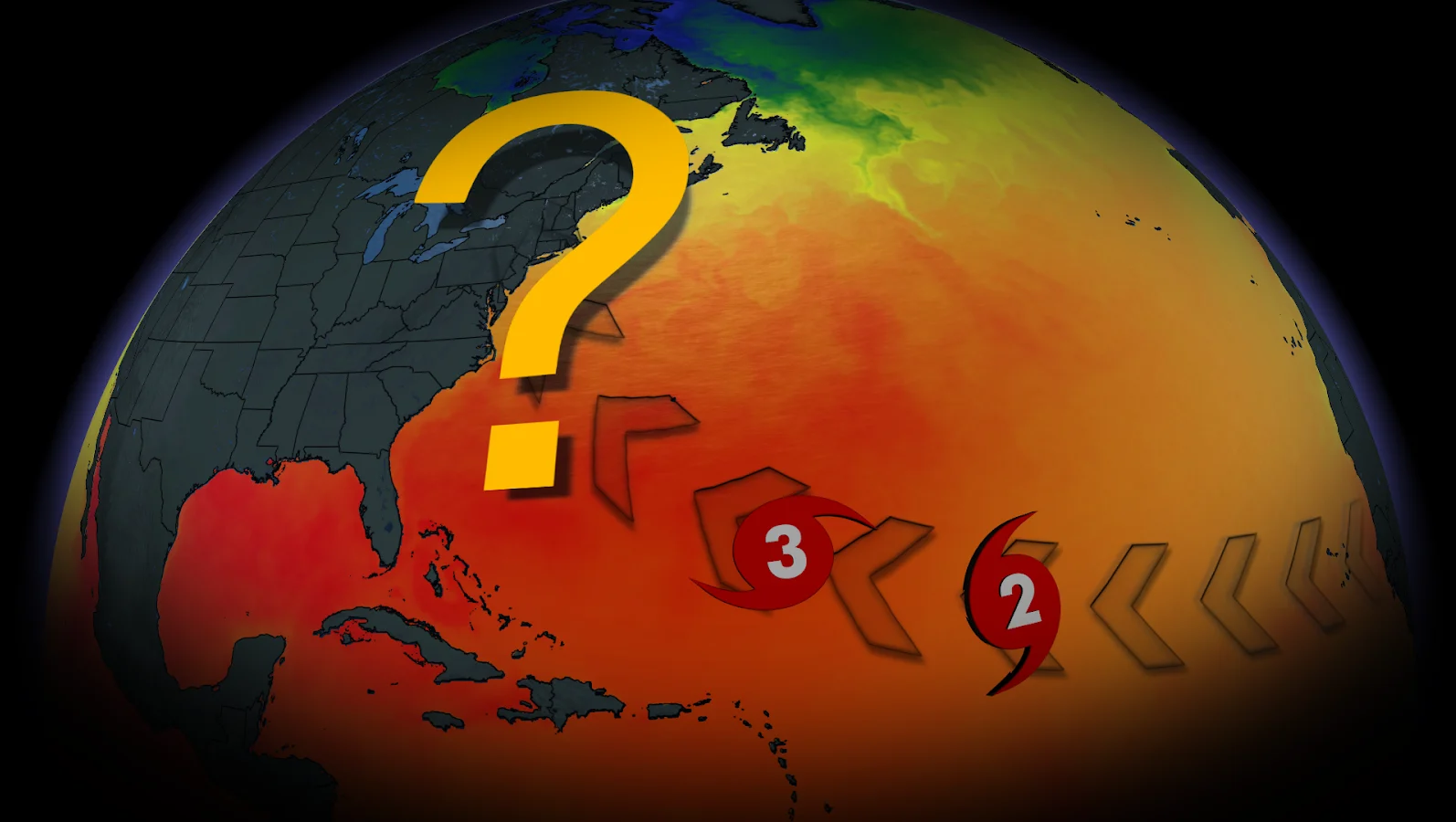
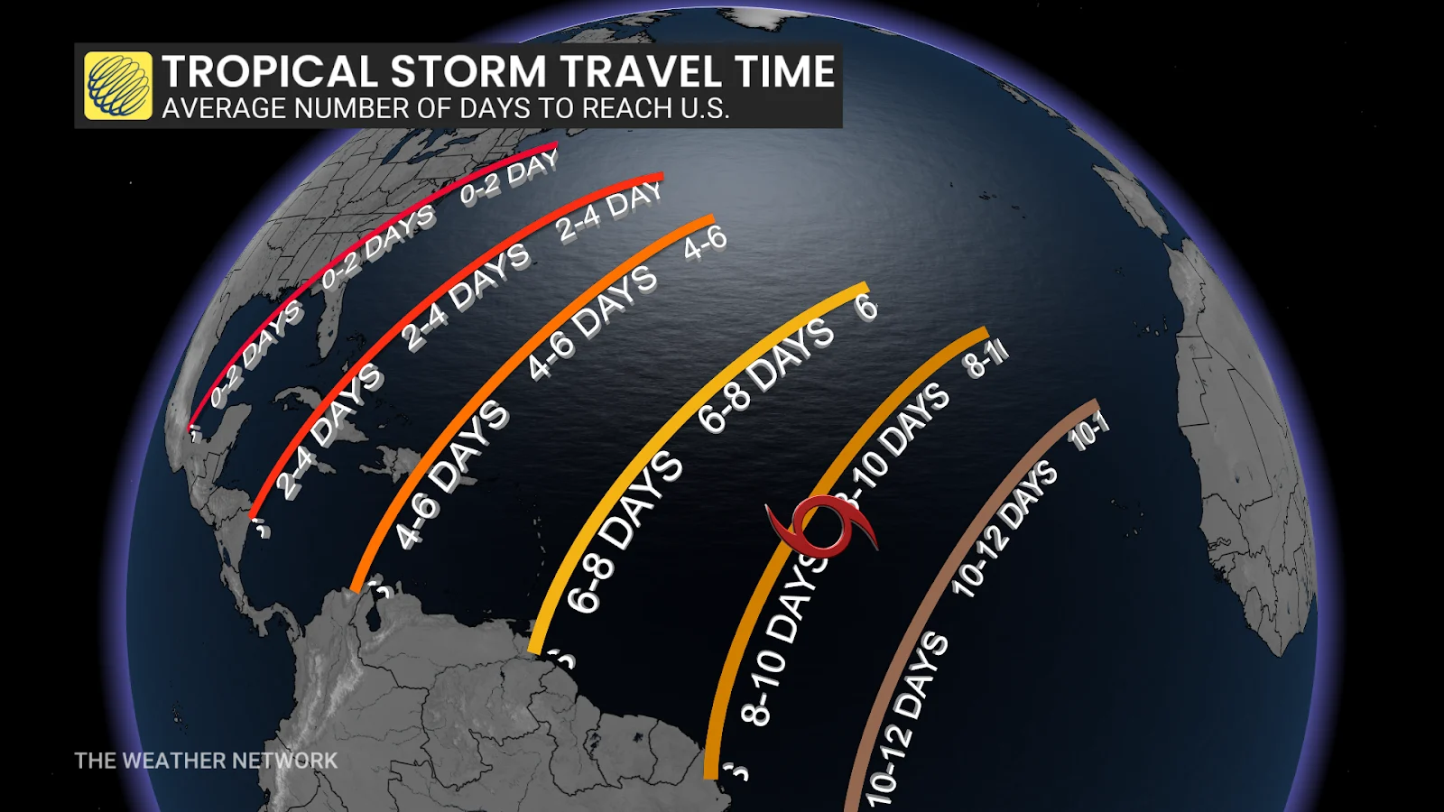
Tropical Storm Erin, the fifth named storm of the 2025 Atlantic hurricane season, is on schedule for a long journey across the ocean — but its final location is still unknown.
The National Hurricane Centre now predicts Erin will strengthen into a Category 1 hurricane by Friday, with the possibility of intensifying further. On the forecast track, the centre of Erin is likely to move near or just north of the northern Leeward Islands over the weekend.
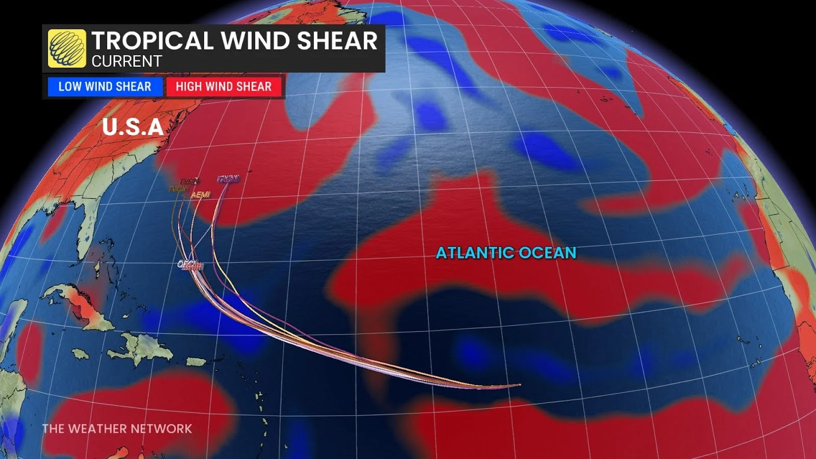
Favourable conditions, such as low wind shear, are expected to support development.
RELATED: Hurricane Preparedness: What you need in your kit
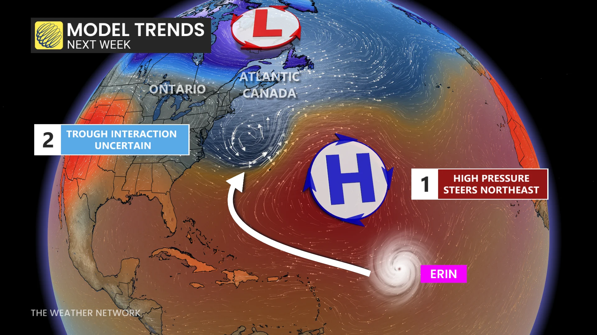
Two possible tracks emerging
The storm's impact will be dependent on how the upper-level steering patterns change over the next few days.
By Sunday, high pressure is expected to rebuild over the Atlantic Ocean, potentially pushing the hurricane westward and closer to the U.S. eastern seaboard.
Another potential outcome is that a diving trough sweeping across eastern Canada will absorb the storm and direct it towards Atlantic Canada. Forecasters say the precise timing of this trough is a major uncertainty.
MUST SEE: Hurricane Safety: What to do before, during, and after landfall
Risks remain despite uncertainty
Even without a clear track, the likelihood of dangerous surf and rip currents is expected to increase along certain sections of the shoreline.

Meteorologists warn that minor changes in the storm's path could result in significant differences in who experiences impacts.
Forecasters will continue to closely monitor the storm in the coming days, with a more complete picture expected early next week.
Be sure to check back for the latest developments on Tropical Storm Erin