Snowfall continues as Ontario sees brief midweek warm-up
A fast-moving clipper will bring snow, icy roads and strong winds to parts of Ontario before temperatures briefly rise above freezing midweek
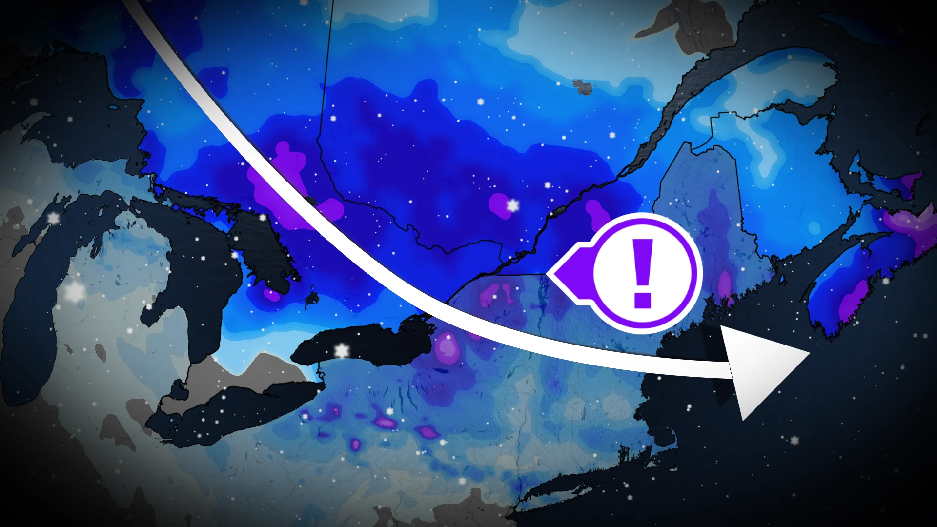
A clipper system is moving across Ontario, delivering snowfall and travel disruptions from the snowbelts to the Golden Horseshoe and eastern parts of the province.
The Tuesday morning commute will be impacted by snow, with the possibility of light freezing rain or ice pellets along a warm front moving through southern Ontario before dawn. The risk of icing seems to be isolated, but it could result in slick conditions, particularly in southwestern regions.
As the system moves north late in the afternoon, snow will fall in Ottawa and Montreal, affecting the evening commute home, with 10 to 15 centimetres expected by Wednesday morning.
DON'T MISS: How the weather could be influencing your music taste
In the wake of the storm, near-seasonal air will move into southwestern Ontario, causing temperatures to rise. Toronto may rise above 0ºC for the first time in more than three weeks, while parts of southwestern Ontario may reach a few degrees above freezing.

Blustery winds follow midweek system
Temperatures will stay cold enough on Wednesday for scattered snow flurries, including lake-effect snow off Lake Huron, as a trough moves through the region.
Gusty winds of 40 to 60 km/h are expected in central and southern Ontario, resulting in blowing snow, poor visibility and hazardous travel.
CHECK OUT: Odd weather terms you may hear in the spring and summer

More snow possible later in the week
Later this week, a retrograding low over Quebec could bring more snow to central and eastern Ontario.
Forecasters are keeping an eye on a developing low in the U.S., which could approach southern Ontario late Sunday or early Monday, though the exact path is uncertain. Travellers should check forecasts as details become clearer.
Stay with The Weather Network for the latest across Ontario