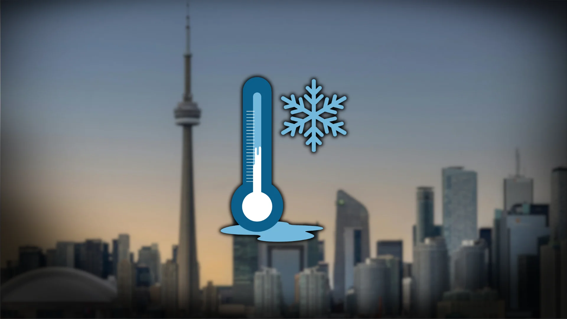
Winter's cold grip gives Toronto its chilliest day this season
With a high of just -13.3°C at Pearson International Airport, Saturday became Toronto's coldest day since Jan. 31, 2019 (-14.4°C)
The coldest day of winter for Toronto was recorded on Saturday.
With a high of just -13.3°C at Pearson International Airport, it became the coldest day since Jan. 31, 2019 (-14.4°C).
DON’T MISS: Will Lake Ontario freeze over this weekend?
However, it was nowhere near the coldest-high temperature this century, which remains -19.1°C on Feb. 15, 2015.
Sunday morning temperatures fell to -20.8°C, tying the coldest, minimum temperatures of the season.

The reason for the extreme cold? A lobe of the polar vortex swung south this weekend, with the main vortex anchored across Nunavut.
Other noteworthy lows Sunday morning
Kirkland Lake: -38.9°C
Timmins: -37.4°C
Kapuskasing: -36.6°C
Algonquin Park east gate: −33.3°C
Chapleau: −34.0°C
Chapleau airport: −33.9°C
North Bay airport: −32.9°C

Bancroft: −32.0°C
Muskoka Airport: −31.9°C
North Bay: −31.0°C
Parry Sound Harbour: −30.6°C
Greater Sudbury: −30.2°C
Major population centres
Kingston: -27.3°C
Guelph: -26.2°C
Ottawa: -24.8°C
Hamilton: -23.1°C

What's next?
Another daytime high up to 10 degrees below seasonal, followed by an equally chilly night, across southern and eastern Ontario with overnight lows once again in the -20s across the south.
Slow moderation in temperatures are forecast on Monday afternoon, with a milder clipper system forecast to cross the region on Tuesday--bringing bursts of snow along the warm front. Accumulations of 5-10 cm is likely north of Greater Toronto Area (GTA), from Georgian Bay to eastern Ontario.

Sunday marks the 22nd consecutive day below freezing for the GTA, the longest streak since 2015.
This streak is in jeopardy on Tuesday, with model guidance hinting at a high of 1-2°C.
Long-range temperatures will be seasonably warm through mid-February (several days at or above freezing), a welcome change.
With files from Tyler Hamilton, a meteorologist at The Weather Network.