January thaw brings relief from the cold to Ontario, but not from the snow
Back to work and back to winter on Monday in southern Ontario. A cold, snowy Monday morning means a tricky and slow commute. However, temperatures will warm up this week as a brief January thaw puts the cold on pause
January got off to a cold start, but folks tired of the frigid air will get a warm-up this week from a much-needed, albeit short-lived, thaw.
While Ontario's snowbelt communities will get some reprieve from the long-duration, lake-effect machine, they will still see some system snow--along with the rest of the southern and eastern areas--to start the first full week of January.
DON'T MISS: January outlook: Winter hits pause in Canada before striking back
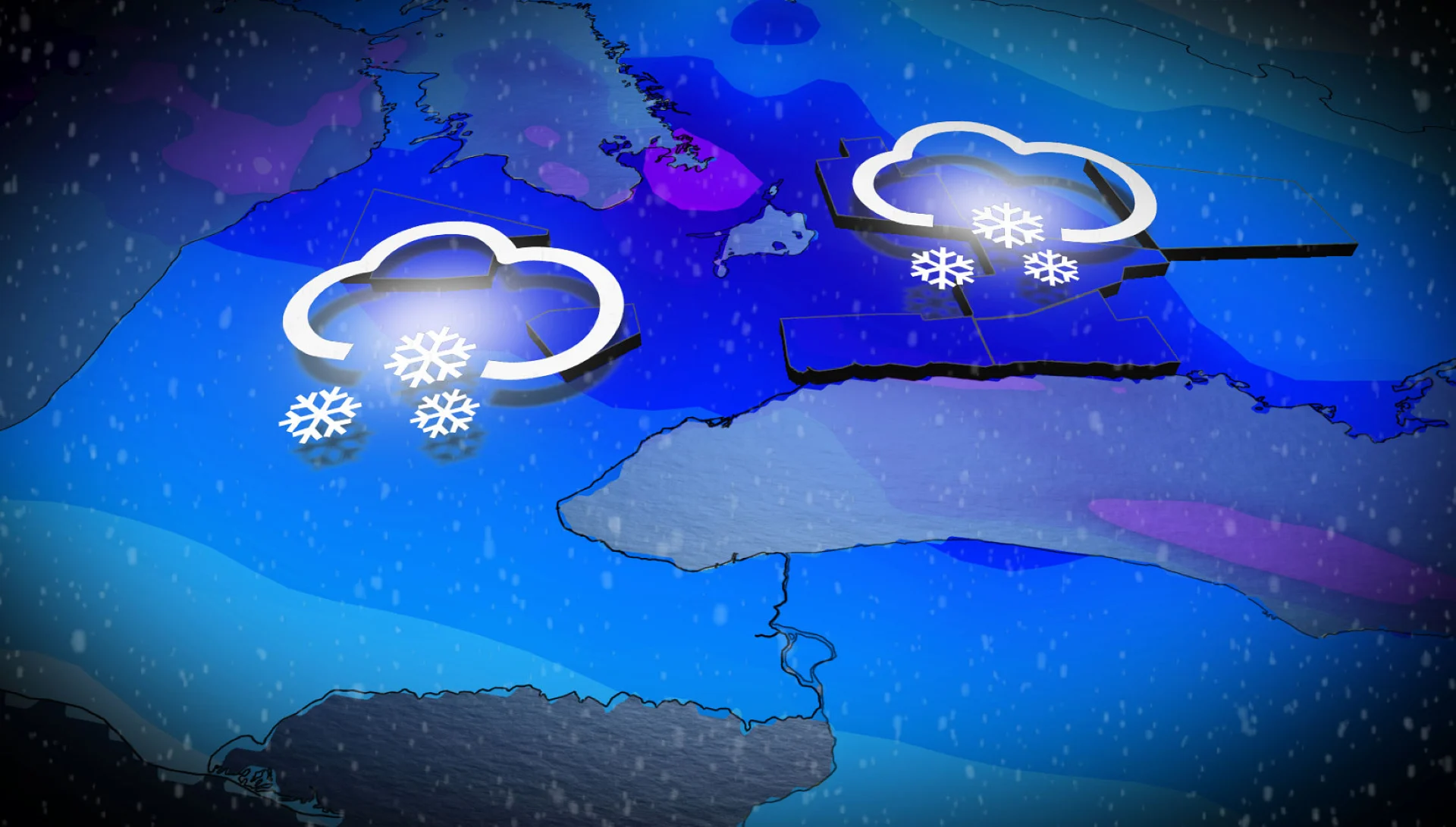
Widespread snow is expected for Monday with the next system, bringing 2-15 cm to a good portion of southern Ontario. The poorly timed snow will impact the Monday morning commute. Brace for slower commute times as road conditions will deteriorate quickly.
Tuesday will mark the start of the thaw, but a messy Colorado low will bring more snow and a wintry mix, or freezing rain, for some, making for further travel impacts.
Poorly timed snow means tough Monday commutes
A new system is forecast to slide across southern Ontario, impacting regions that have upwards of 70 cm of snow on the ground as of Sunday morning.

It’s not the total amount that’s the problem--it’s the timing with the Monday morning commute that’s forecast to be problematic.
A clipper is forecast to dump more than 10 cm of snowfall, locally, across a relatively narrow swath of southern Ontario.
Projected snowfall amounts
Barrie: 10-15 cm
Kincardine: 10-15 cm
Toronto: Approximately 10 cm
Peterborough: 5-10 cm
Kitchener-Waterloo: 5-10 cm
Kingston: 5-8 cm
London: 2-5 cm
Hamilton: Approximately 5 cm
Niagara: 3-5 cm

Periods of snow will begin through the pre-dawn hours Monday west of the Niagara Escarpment, then spreading west to east through the early hours of the day.
Snowfall rates forecast to exceed 1 cm an hour across the Greater Toronto Area (GTA) by 6 a.m., ill-timed for a treacherous and slow commute.

Peak snowfall rates of 1-2 cm an hour are forecast from 7 a.m. to 11 a.m. across much of the GTA and regions north of Lake Ontario.
CHECK OUT: Did a water main break near your home? Here's what happens next

By Monday afternoon, snowfall eases as the system slides eastward, while portions of eastern Ontario are still dealing with lingering, light snowfall. By Monday evening, just light flurries will remain across the area.
Motorists can expect significantly slower commute times. Give yourself ample time to prepare for slowdowns as drivers navigate the accumulating snowfall.

Expect active plowing across the main highways as the snowfall event unfolds, causing delays.
Winds will generally remain below 20-30 km/h, so that means limited, blowing snow, although visibility will be reduced under the heaviest snow bands.
January thaw brings messy system
A Colorado low on Tuesday is forecast to bring a much milder air mass across the region, but the cold air is still forecast to put up a fight.
A wintry mix is forecast to develop throughout by late Tuesday morning, spreading in from extreme southwestern Ontario. The warm front will tend to produce freezing rain inland, across similar locations that dealt with the system last weekend.

The warm air will fail to push across eastern Ontario, so precipitation north of the wintry mix is forecast to remain as primarily snowfall.
Additional amounts are forecast to be in the 5-10 cm range north of the GTA, extending into eastern Ontario, including for cottage country. Amounts are forecast to be highest north of Highway 7 towards Ottawa.
When you combine the Monday and Tuesday systems, some regions are looking at more than 20 cm of additional snowfall in the next few days, particularly those with the highest, current snowpack.
Beyond, a couple of more systems are expected to impact the region later this week and next weekend. The tracks and impacts are still uncertain, but with the much milder pattern, we have the potential for messy systems, including rain.
After the period of mild weather (the January thaw), a very cold and somewhat active pattern is expected to return for the second half of January.
WATCH BELOW: Why lake-effect snow can vary from town to town
Stay with The Weather Network for the latest updates across Ontario