El Niño vs. the polar vortex: Canada’s winter wild card is waking up


A great winter paradox will set up this season as our very strong El Niño interacts with the polar vortex
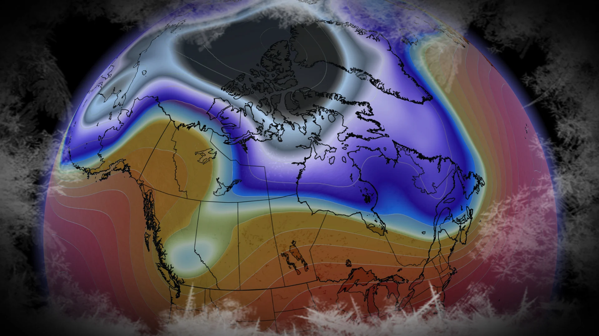
A new polar vortex is already taking shape over the North Pole as daylight dwindles, signalling we’re another step closer to winter.
But its journey through winter will be anything but smooth. One reason is sitting thousands of kilometres away in the Pacific: El Niño.
But there’s a fascinating twist. The El Niño that heavily favours a milder winter across Canada can also work to disturb the polar vortex later in the season.
WINTER SNEAK PEEK: El Niño puts record warmth in play
Canada’s winter engine is firing up
The polar vortex is one of the main players when it comes to Canada’s winter weather. Think back to the pivotal role it played in some of our most memorable blasts of Arctic air.
But this term is often misunderstood.
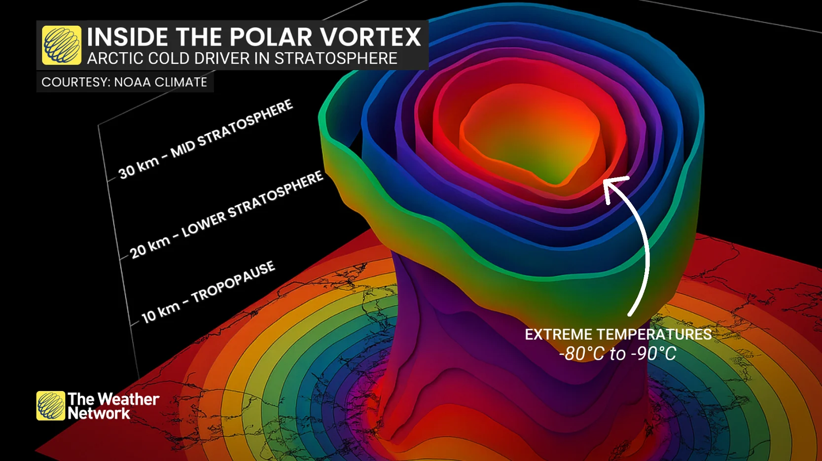
The polar vortex is a humungous circulation of powerful west-to-east winds high above the North Pole. It develops each fall as the Arctic rapidly cools, reaching peak intensity during the winter months before weakening in the spring.
This feature exists primarily in the stratosphere, roughly 10-50 kilometres above the ground, but changes this high in the atmosphere can even influence our weather at the surface.
Strong vortex, weak vortex: Why does it matter?
Think of the polar vortex as a massive spinning top. If it’s spinning quickly and undisturbed, it tends to stay strong and organized.
But here’s the kicker: Huge atmospheric waves generated lower in the atmosphere can travel all the way into the stratosphere! These waves can slow the vortex, stretch it, and even nudge it away from the pole.
RELATED: What is the polar vortex? How it’s responsible for dangerous cold
In the most extreme cases, the circulation can break down, bringing us to one of winter’s most dramatic events. A sudden stratospheric warming (SSW) occurs when the temperatures spike high above the North Pole as the polar vortex rapidly weakens.
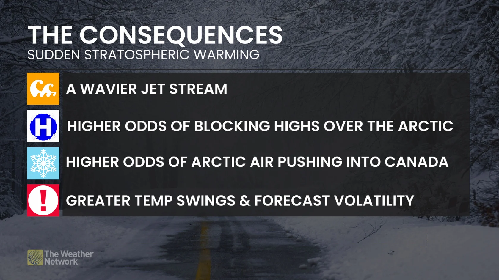
During a major SSW, the powerful west-to-east winds actually reverse direction. Even though this happens aloft, these events can alter the jet stream and weather patterns in the weeks that follow.
Not every polar vortex disruption will reach the surface, of course, and Arctic outbreaks can (and do) still occur without a polar vortex disruption. This is an important point to keep in mind.
The vortex can collapse in different ways. Displacement can see the main vortex pushed off the North Pole, sometimes placing its core over North America or Eurasia. A split tears the vortex into two main circulations.
But those craving harsh winter weather may need to be extra patient, because its surface impacts are normally delayed by up to several weeks, and sometimes fail to show up strongly at all.
Early winter: The El Niño Domination
This is where our record-breaking El Niño gets the first move.
El Niño famously rearranges atmospheric circulation across the Pacific, enhancing the Pacific jet stream and shifting the Aleutian low.
This is why we’re so confident in the early winter mild conditions across Canada.
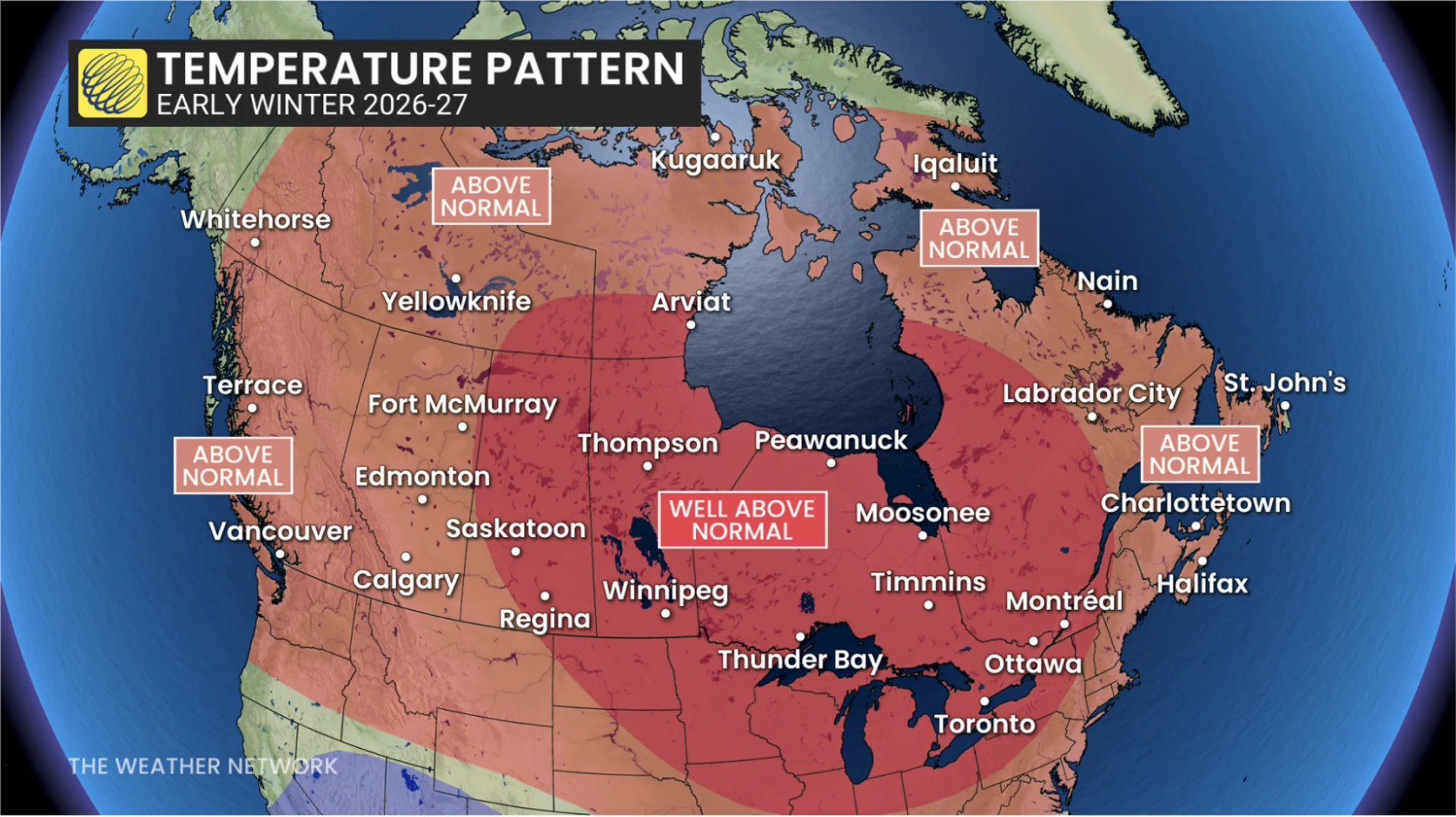
All the evidence points to a strong polar vortex heading into winter, which will help keep the coldest air bottled up farther north.
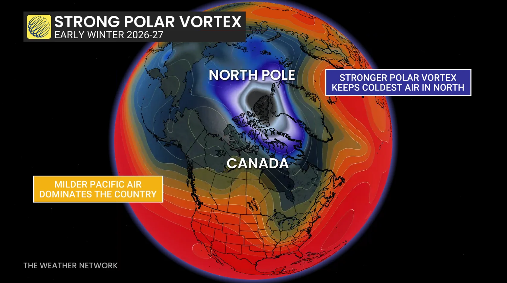
Just because we’re talking polar vortex doesn’t mean El Niño automatically becomes a cold signal.
It doesn’t.
Later winter: The Super El Niño disruption?
Buckle up, winter lovers. This is where things can get interesting.
This influence happens high above us, but the tropical Pacific and polar vortex can become connected later in the season. This sounds surreal considering these features are thousands of kilometres away.
RELATED: Winter snowfall across Canada may fall victim to El Niño
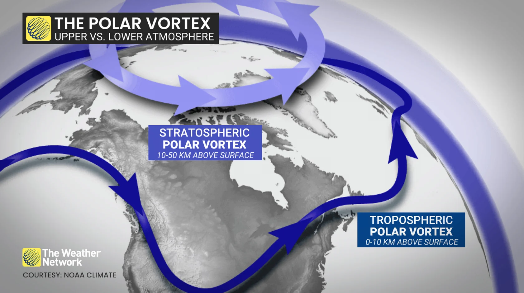
As winter progresses, particularly into January and February, El Niño can reshape the North Pacific circulation, which favours larger atmospheric waves. Some of that energy can travel upward into the stratosphere, where it can attempt to weaken the polar vortex.
The latest research has found the polar vortex response generally increases as El Niño intensifies, with the largest response reserved for the strongest El Niño events.
If you’re lost, think of it this way, and something to break out at your next water-cooler talk:
El Niño changes the Pacific circulation
Larger atmospheric waves become more likely
More wave energy can reach the stratosphere
The polar vortex becomes easier to disturb
This doesn’t guarantee a full polar vortex disruption, but this mid-to-late-winter potential can’t be ignored.
The great winter paradox
By now, you probably see the paradox.
Overall, the El Niño signal is overwhelmingly mild. All this polar vortex talk doesn’t change a thing. The mild Pacific Ocean will be in charge this season.
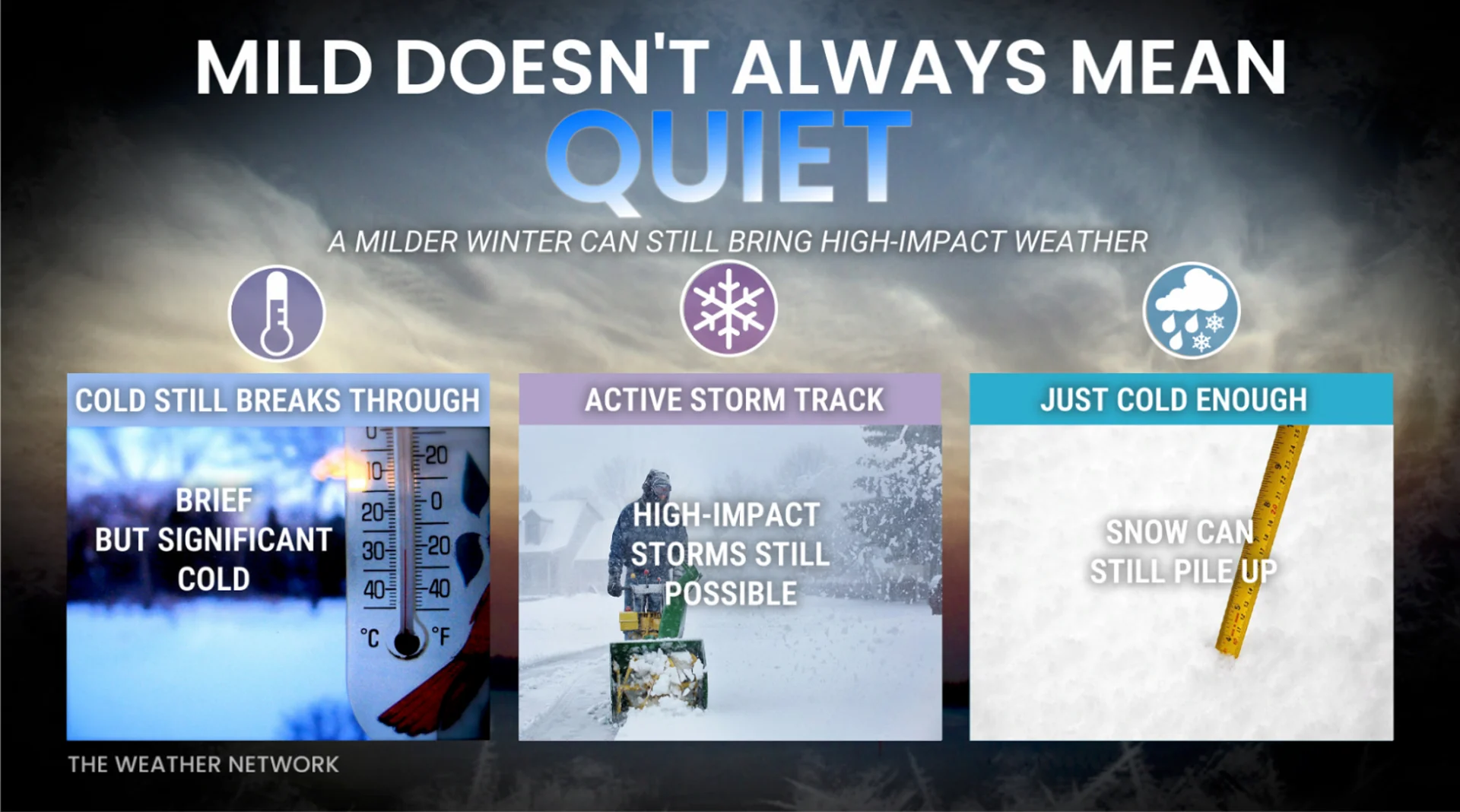
But at the same time, strong El Niño events can increase the potential for polar vortex disruptions later in winter.
It may seem contradictory, but El Niño shapes the overall climate background, while the polar vortex becomes the true winter wild card we can’t ignore later in the season.
A winter can still finish exceptionally mild, but also include a couple of extraordinary, memorable cold snaps.
A week or two of intense cold won’t be able to erase the domination of El Niño, but it highlights that even during the mildest of winters, frigid cold can still knock at times.