A satellite tracked a tsunami from one of the world’s largest quakes

Scientists were able to use satellite data to gather critical information about a tsunami generated by a magnitude 8.8 earthquake in July 2025
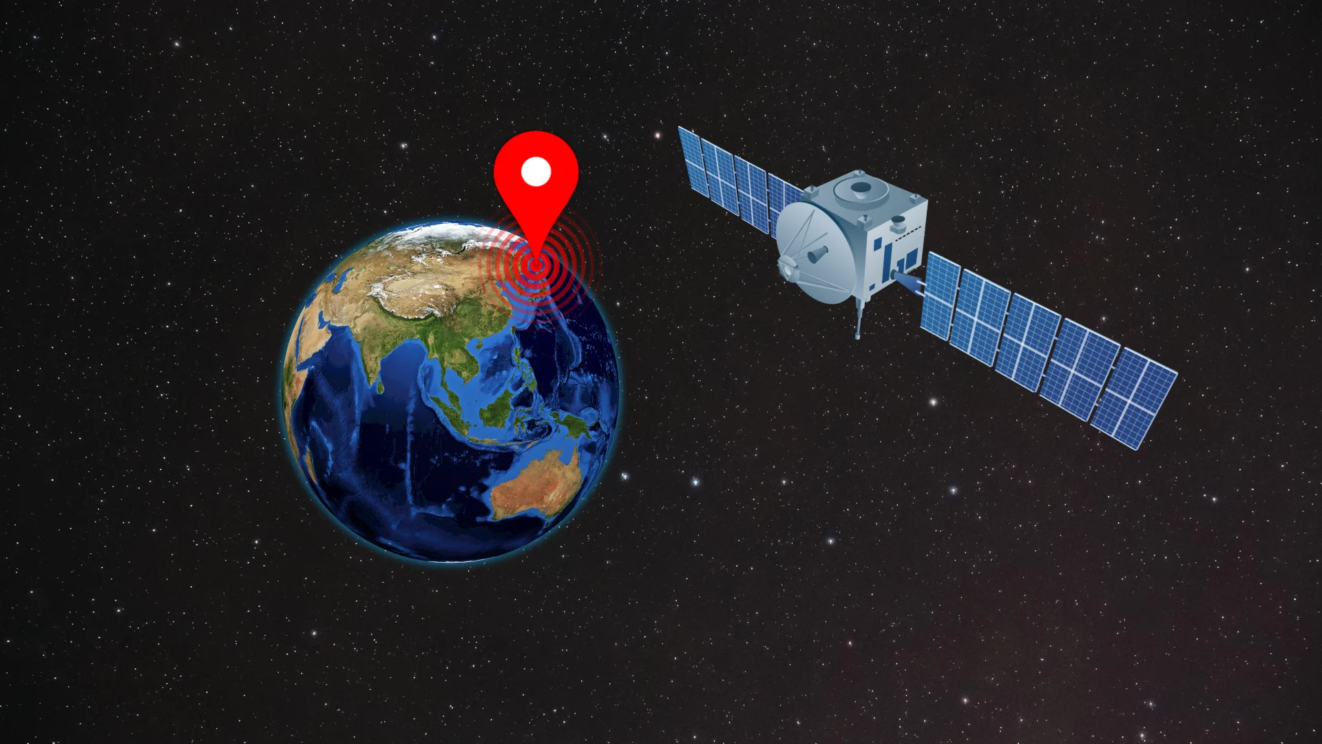
One of the largest earthquakes ever recorded jolted the seabed off Russia’s Kamchatka Peninsula in late-July 2025. The tremor triggered a tsunami that eventually travelled across the entire Pacific Ocean.
A satellite that measures sea surface heights happened to pass over the tsunami not long after it started, providing valuable new insight into these destructive hazards.
DON’T MISS: Earthquakes are a risk in Canada. Here’s how to stay safe
Sixth-largest earthquake on record
A magnitude 8.8 earthquake struck beneath the Pacific Ocean just off the southeastern coast of Russia’s Kamchatka Peninsula on July 29, 2025.

July’s powerful shock cemented its status as the world’s sixth-largest earthquake ever measured, coming in just behind another quake in the same area that occurred back in 1952.
The event took place where the North American plate is sliding beneath the Pacific plate. Subduction zones such as the one off the Kamchatka Peninsula are notorious for producing intense earthquakes that can generate destructive tsunamis.
A tsunami is a series of large, persistent waves caused by the sudden displacement of a body of water. Earthquakes are responsible for most of the world’s tsunamis.
Satellite sees a tsunami traversing the Pacific
The NASA-French Surface Water and Ocean Topography (SWOT) satellite happened to orbit over the region just in time to collect sea surface height data on the 2025 Pacific tsunami.
A recent study published in The Seismic Record analyzed the data and revealed some important insights.

RELATED: When and where could a tsunami happen in the Atlantic Ocean?
“The SWOT observations provided an unprecedented view of tsunami propagation, revealing the complexity of the waveforms, including dispersion patterns at scales that traditional altimeters could not resolve,” the authors said.
One discovery is that the 2025 earthquake was a “rerupture” of the same fault that produced the even more powerful magnitude 9.0 earthquake back in 1952.
This means it’s possible for large earthquakes to happen in the same area within decades, rather than centuries apart, which could rewrite how experts and officials perform risk assessments and prepare for major disasters in the future.

The team also found that “tsunami hazard is highly sensitive to the rupture style” of the fault. In other words, an earthquake’s magnitude isn’t the only driving factor behind a tsunami.
How the earth actually splits and moves during the quake can significantly affect the size and behaviour of tsunami waves as they travel across the ocean.
The findings also prove the usefulness of tracking tsunamis from space, shedding light on “the emerging role of satellite altimetry in refining tsunami forecasts and advancing our physical understanding of tsunami dynamics,” the team said.
Header image created using graphics and imagery from Canva.