Critical weather satellite returning to duty after major malfunction

The GOES-East weather satellite experienced a significant anomaly on Wednesday, forcing it offline for almost an entire day
The weather satellite keeping tabs on skies over much of Canada should return to service late Thursday after a day-long outage.
GOES-19 experienced a significant anomaly on Wednesday that sent the satellite into safety mode to protect the systems and instruments aboard.
Operating under the name GOES-East, the satellite’s geostationary orbit high above the equator offers an optimal view of much of North America, South America, and the Atlantic Ocean.
DON'T MISS: Brand new satellite begins watching over Canada into the 2030s
A major outage on Wednesday
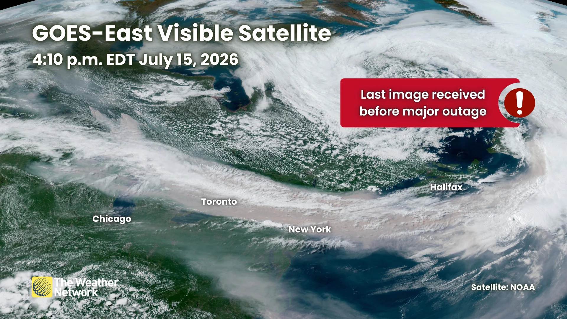
NOAA has not yet announced what exactly went wrong with the satellite, only saying that it experienced an anomaly around 4:30 p.m. EDT on Wednesday and that it was no longer transmitting data.
Engineers and scientists worked to resolve the problem, announcing late Thursday morning that they'd fixed the problem and that systems would slowly return to normal.
“The GOES-19 Safehold has been resolved and engineers are working to prepare for restart of the onboard instruments,” NOAA’s Office of Satellite and Product Operations posted on Thursday afternoon.
Visible, infrared, and water vapour imagery should return to service around 3:00 p.m. EDT on Thursday, the agency said in its update.
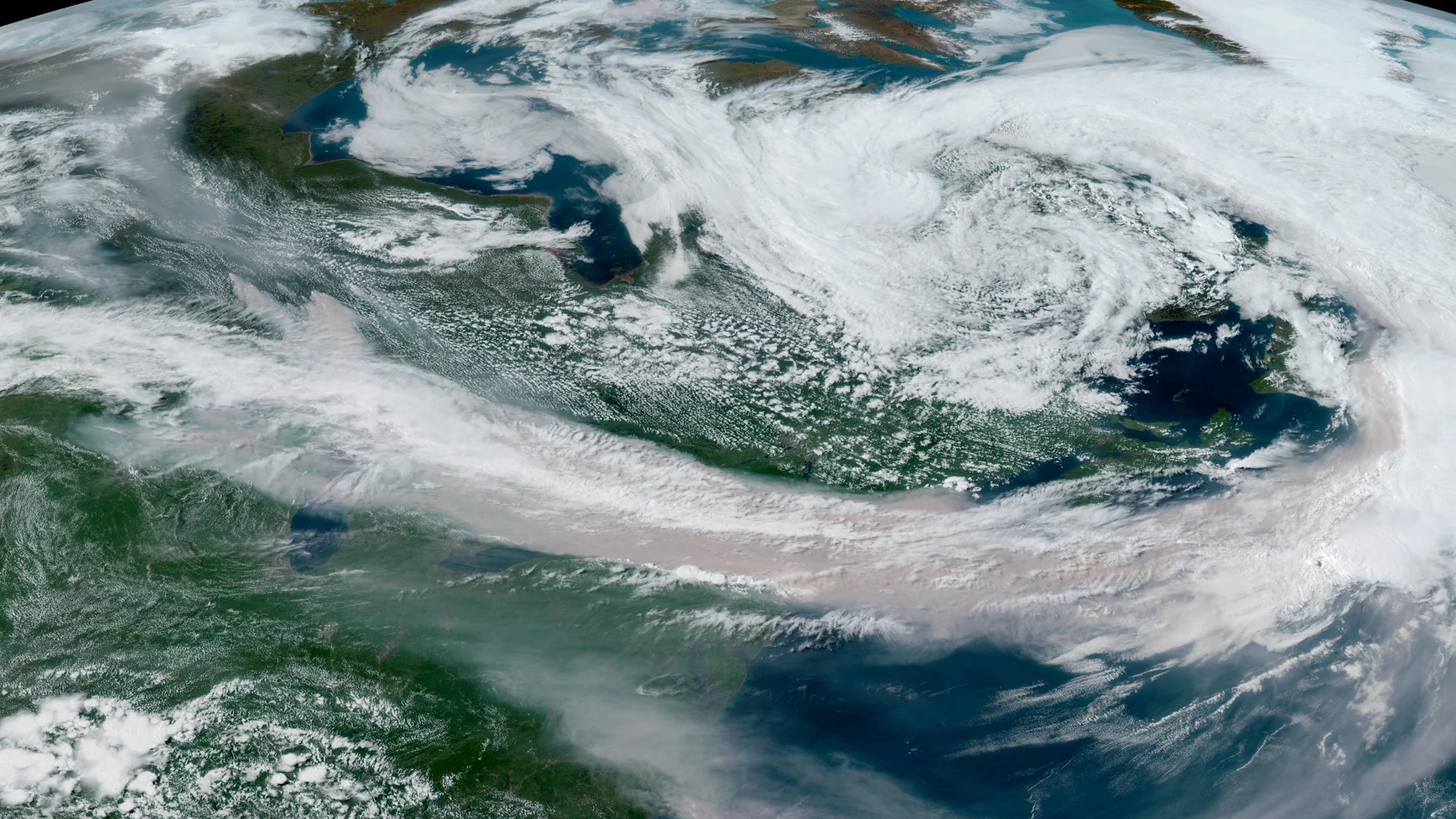
The outage couldn’t have come at a worse time as exceptionally thick wildfire smoke from blazes in Ontario and Minnesota blankets southern Ontario and the U.S. Northeast. Satellites are a crucial tool for tracking the coverage and intensity of wildfire smoke.
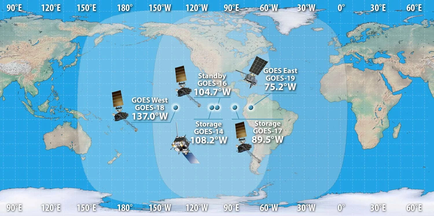
The current location of GOES satellites, including several decommissioned vehicles waiting on standby.
Satellite data also feeds into weather models to help these computer programs produce more accurate guidance for forecasters.
We're not completely in the dark during lengthy outages.
GOES-West and Europe's Meteosat-9 offer some redundancy in the event of a complete GOES-East outage. Other satellites in polar orbits also provide occasional high-resolution imagery.
Additionally, Canada plans to launch a dedicated WildFireSat in 2029 to provide daily monitoring of fire activity across the country.
GOES-19 is NOAA’s newest weather satellite
GOES-19 launched in June 2024 and officially took over as GOES-East in April 2025. This is the satellite’s first major outage since it came into operational use.
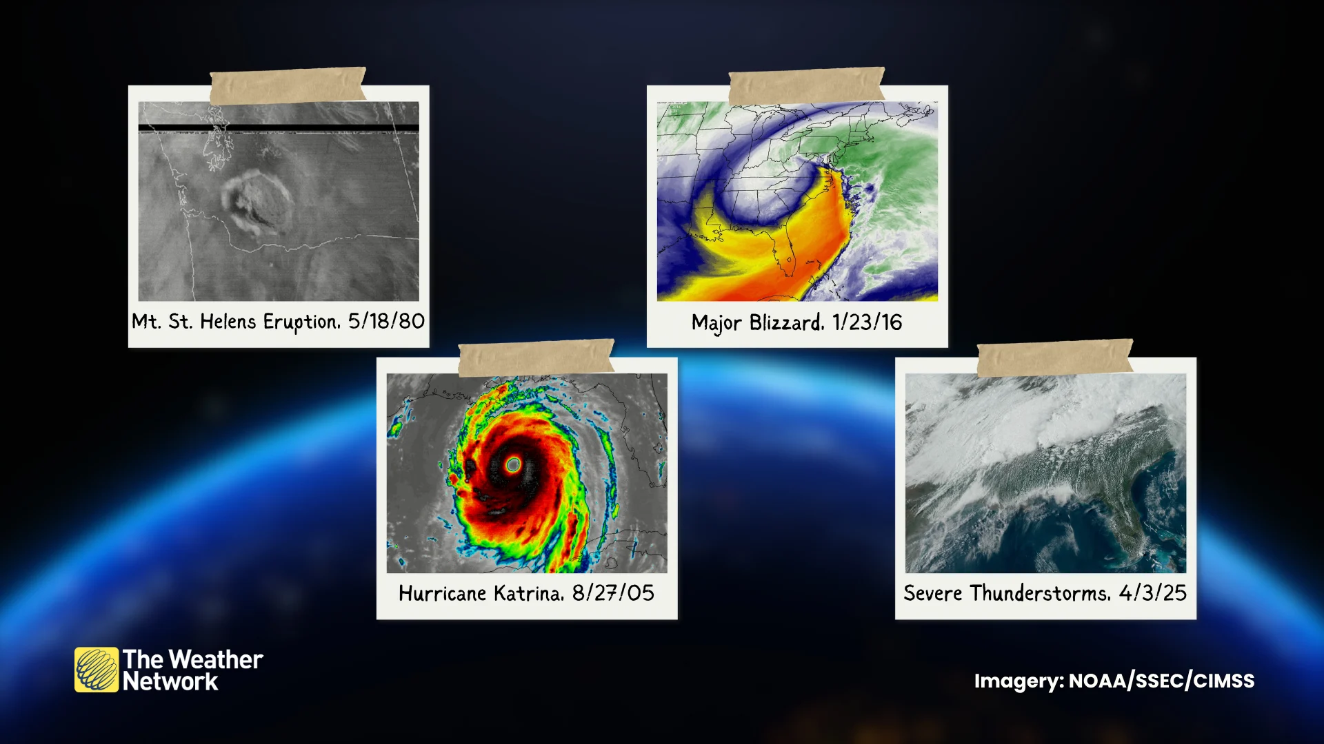
Numerous advanced sensors work around the clock to monitor the atmosphere, Earth’s surface, and the Sun.
The Advanced Baseline Imager (ABI) provides near-realtime visible, infrared, and water vapour imagery, which can update as frequently as every 30 seconds.
Meteorologists also use the Global Lightning Mapper (GLM) to monitor lightning strikes within the satellite’s field of vision. Not only does this capability help track thunderstorms outside of radar range, but it can reveal thunderstorms turning severe, as well as potential strengthening of tropical cyclones.