Satellites capture thick smoke pouring out of Canadian blazes

The largest wildfire in southeastern Manitoba has burned nearly 100,000 hectares as of Thursday morning
A deadly start to the wildfire season is underway on the eastern Prairies as numerous fires burn throughout southern Manitoba and northwestern Ontario.
Evacuation orders and local states of emergency are in effect as the fires threaten communities across the region.
DON'T MISS: Stay updated with the latest information at The Weather Network's wildfire hub page
NASA’s MODIS sensor aboard the polar-orbiting Aqua satellite captured a striking view of smoke pouring out of the blazes on Tuesday, May 13.
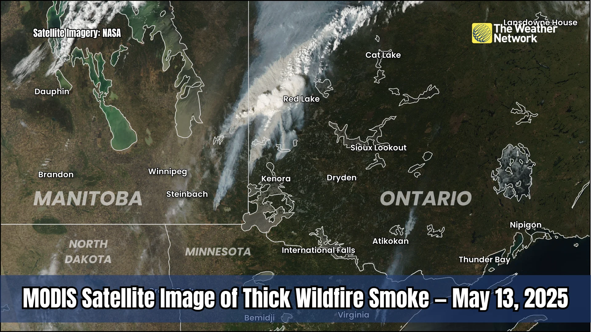
Smaller fires are visible alongside the immense plume billowing out of the fire in and around Manitoba’s Nopiming Provincial Park.
Clouds obscured satellite views of the blazes on Wednesday and Thursday.
Multiple out-of-control wildfires continue burning throughout southeastern Manitoba, according to the province’s fire map.
The largest blaze has affected the Nopiming Provincial Park, consuming nearly 100,000 hectares of land so far this week. Other large fires include one north of Selkirk and another north of Lac du Bonnet.
Despite the rain pushing into the region, burning restrictions persist throughout much of southern Manitoba given ongoing favourable fire weather conditions.
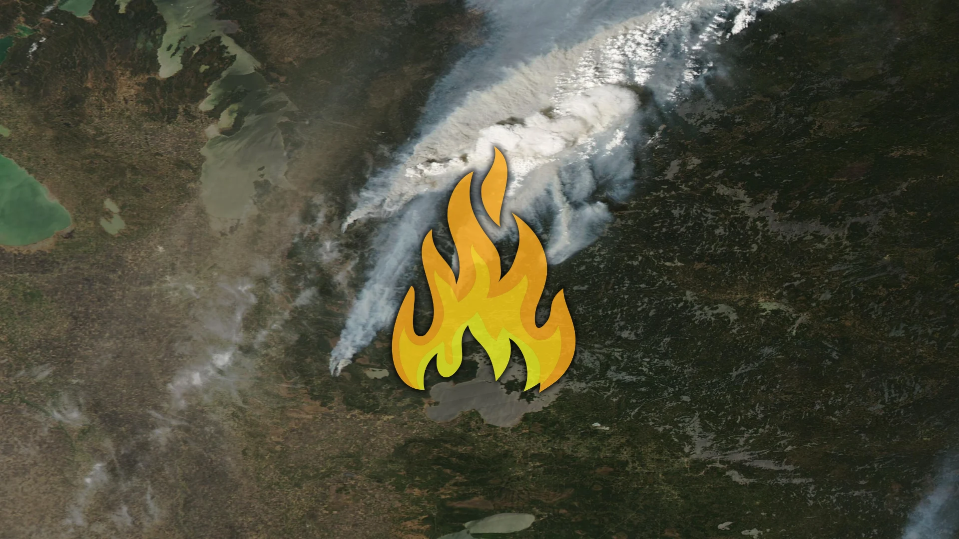
Header image created using satellite imagery from NASA and graphics from Canva.