Wildfires in Fort Frances, Sioux Lookout Ont., force evacuation and travel alert
Evacuation and travel alerts have been issued in the Fort Frances and Sioux Lookout districts in northwestern Ontario as wildfires continue to grow in both areas.
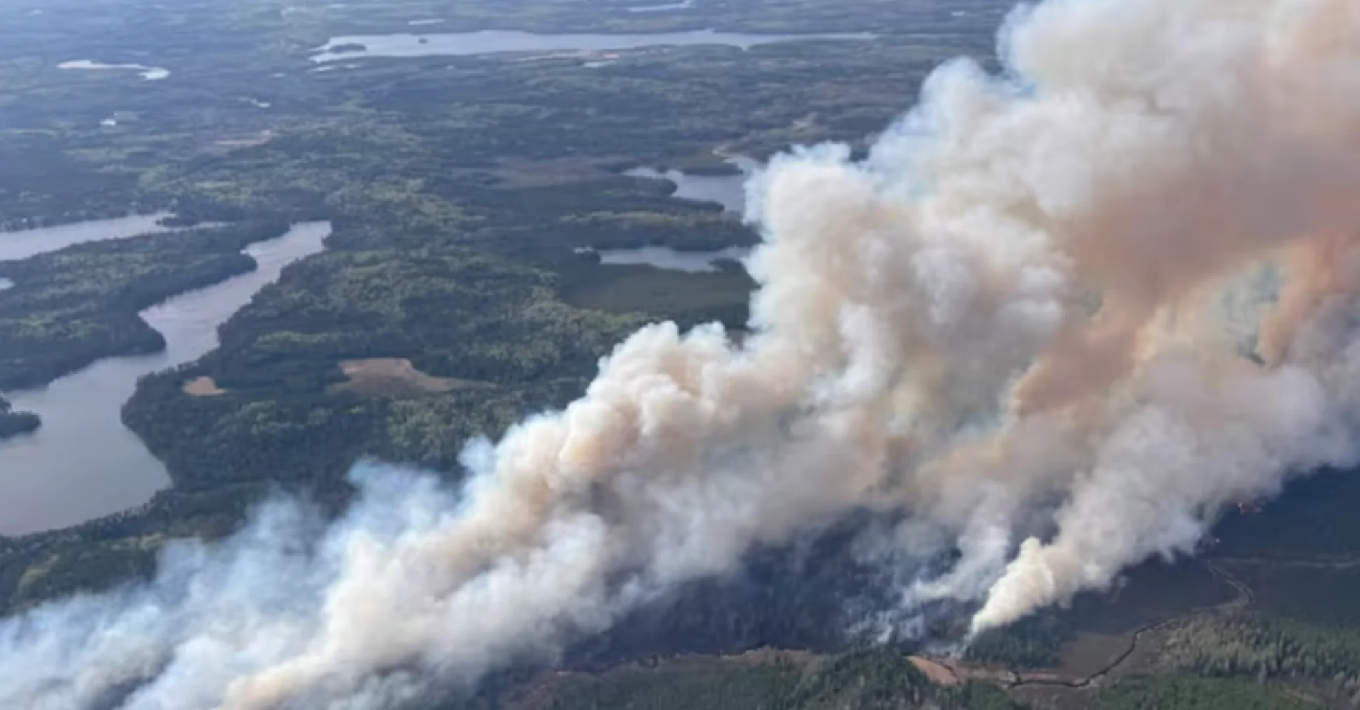
As of Thursday morning, ten forest fires are burning in the northwest region, half of them are not under control.
In the Sioux Lookout district, Ontario's Ministry of Natural Resources (MNR) issued an implementation order Thursday afternoon.
DON'T MISS: The Weather Network's wildfire hub
The order aims to protect the public, while also allowing crews to carry out suppression efforts.
It includes the area around the fire known as Sioux Lookout 3, which was first reported on Tuesday afternoon. The fire is burning north of Savant Lake, Ont., covering over 2000 hectares of land.
Ontario Provincial Police (OPP) has closed Highway 599, and travel is restricted on Highway 516 east of Houghton Lake.
WATCH BELOW: Two people confirmed dead, 1000's evacuated amid Manitoba wildfires
Fort Frances district wildfire forces evacuation alert
Further south, a wildfire called Fort Frances 4 by the MNR, is covering over 3,200 hectares of land. The MNR issued an evacuation alert Wednesday afternoon, which encourages people to prepare to evacuate on short notice.
Fort Frances 4 is burning just north of Crystal Lake, and is not under control.
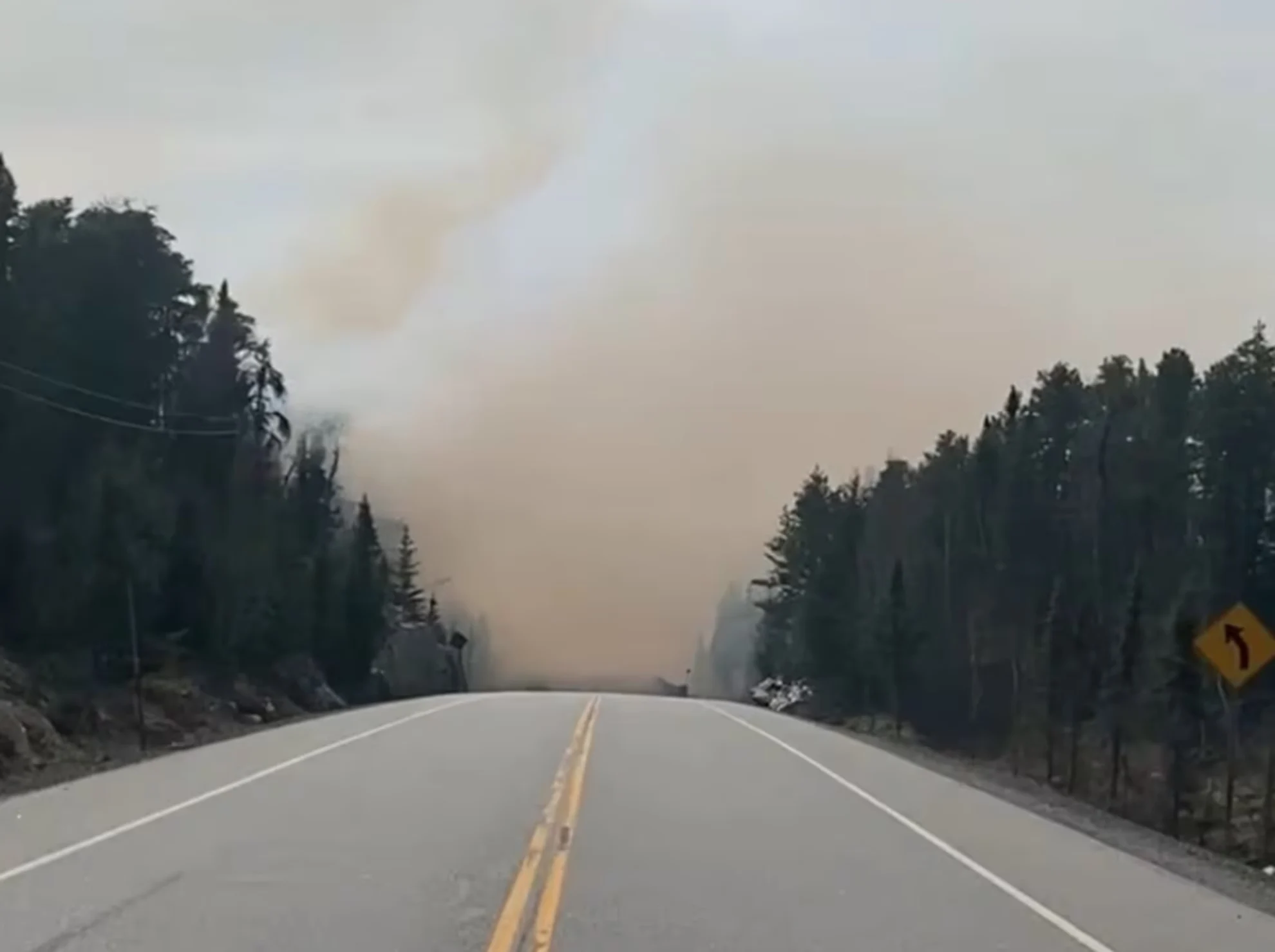
Earlier this week, OPP closed down a section of Highway 11 due to the Fort Frances 4 wildfire. The section of highway has since reopened. (Ontario Provincial Police/Facebook)
The alert has been issued for all areas accessed by Camp 111 Road, Crooked Pine Road and all roads accessing Crystal Lake.
The MNR alert also covers the following areas:
Nydia Lake
Eva Lake
Kawene Lake
Marion Lake and Marion Lake Road
Crystal lake
Niobe Lake
Nickleby Lake Road and Nickleby Lake
Sapawe Lake and Sapawe Road
Upsala Road
Premier Lake Road
Marmion Lake, Reserve Island, Hoist Camp Narrows, and Reserve Bay
Osinawi Lake
Pipeline Road
Sawbill Road
Cloven Road
Pinecone Road
Caldwell Road and Hardtack Road.
People in these areas are urged to stay up to date on the fire situation, and to prepare an emergency bag with essential items like medicine, passports and legal documents.
As of Wednesday evening, eight crews were working on the Fort Frances district fire, and helicopter bucketing operations were ongoing through the day, according to the MNR's Aviation, Forest Fire and Emergency Services.
SEE ALSO: Evacuation order remains as Kenora 20 still 'significant fire of concern'
The restrictions and evacuation order in place in the Fort Frances and Sioux Lookout districts follow similar measures in the Kenora district issued earlier this week.
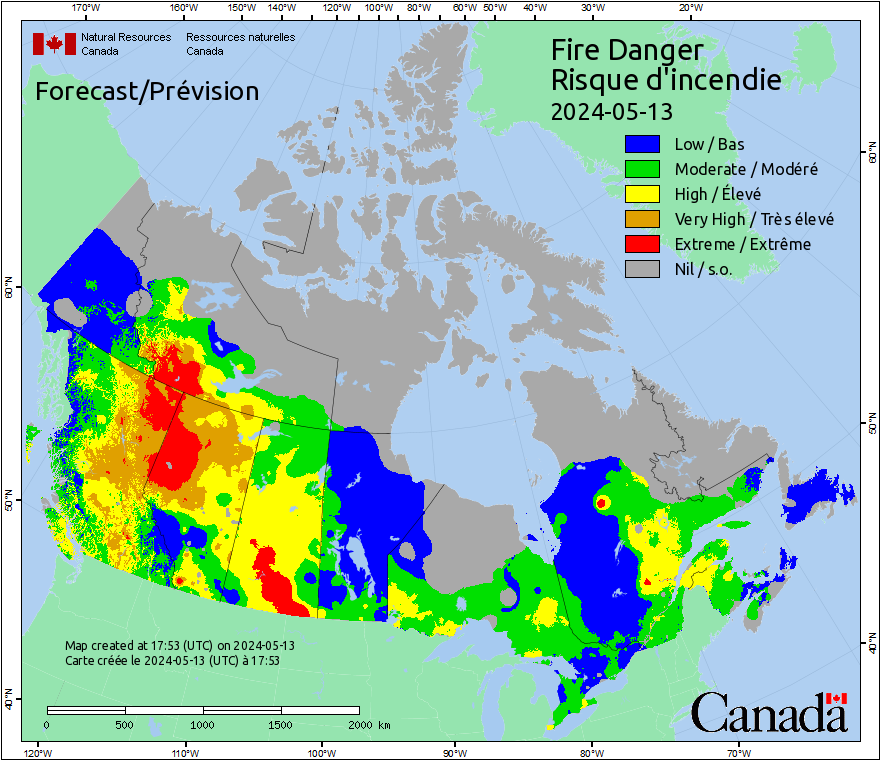
The forest fire situation began to escalate in northwestern Ontario last week, as much of the region experiences dry and hot conditions.
The weather forecast has about 15 to 20 mm of rain expected across parts of the region over the next two days. A fire official said if the rainfall materializes, it will help moderate the extreme fire behaviour in the region.
Thumbnail courtesy of Ontario Forest Fires/Facebook via CBC.
This story was originally written by Olivia Levesque and published for CBC News