Canada scores its first -20°C of the season later than normal

Two areas in Northern Canada were the first to hit the minus-20s so far this season
Potentially a sign of things to come, the season’s first official -20°C of the year arrived a bit later than normal.
Two areas in the Far North registered morning low temperatures in the minus-20s on Sunday, Oct. 4, marking the first time Canada has seen such a cold reading this season.
DON’T MISS: With a 'super' El Nino, does that guarantee late-fall warmth in Canada?
A pair of minus-20s on the board
Margaret Lake, Yukon, and Mould Bay, N.W.T., each dipped below the minus-20 mark on Sunday morning.

Margaret Lake, which is about 275 km northeast of Dawson City, dropped down to -22.0°C to see this season’s coldest temperature across Canada. The site’s location at the foot of nearby mountains may have helped accentuate the morning’s chill.
Mould Bay reached -20.9°C around the same time as Arctic air spilled over the island airport located in the Far North.
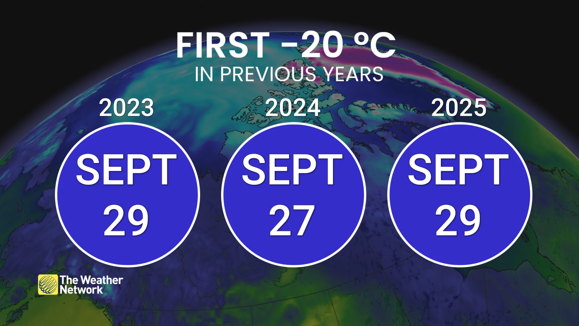
The dual achievement arrived a little later than normal, and it’s the latest first -20°C reading we’ve seen in Canada since 2023. The country’s first minus-20 readings arrived in Nunavut during the past two years: in Eureka on Sept. 29, 2025, and in Alert on Sept. 27, 2024.
We usually have to wait until deep winter to get temperatures that cold to extend farther toward the south.
Winnipeg averages a little more than 50 days per year with overnight low temperatures below -20°C. Calgary sees around 21 such days, while Toronto-Pearson Airport and Halifax each average just 2 or 3 days with lows in the minus-20s.