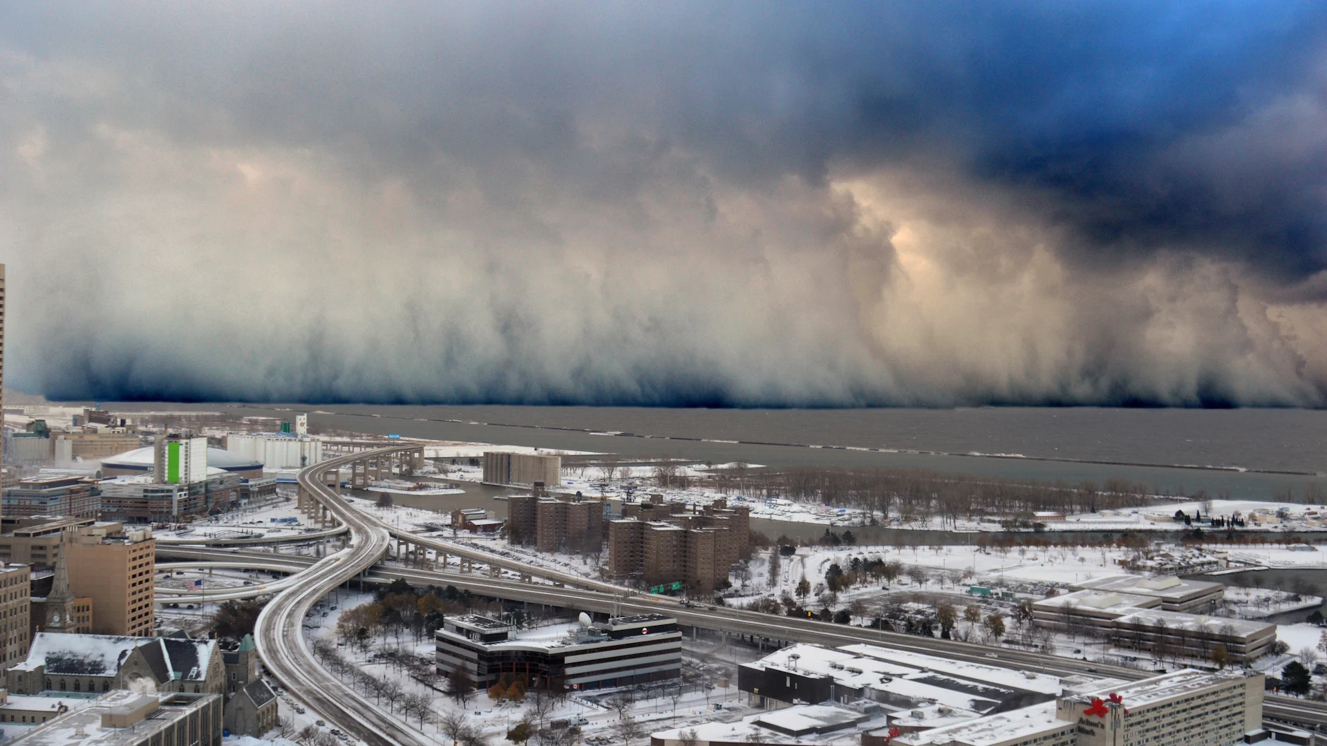
The wild squall that dropped 2+ metres of snow in four days

One of the most intense lake-effect events in modern history hit communities near Buffalo, New York, in Nov. 2014
A truly remarkable lake-effect snow event unfolded over western New York during a four-day period in the middle of Nov. 2014.
Some communities saw more than 2 metres of snow from the back-to-back squalls, prompting emergency declarations as roads clogged with accumulations that towered over most vehicles.
DON'T MISS: Why the Great Lakes produce some of the world’s heaviest snow
A strong low-pressure system over Ontario and Quebec dragged frigid winds over the Great Lakes beginning on Nov. 17, 2014, allowing bands of snow to drift off all five lakes.
The stunning contrast between the warm lakes and exceptionally cold air aloft was almost unprecedented for this time of year--making the setup ripe for a historic snowstorm.
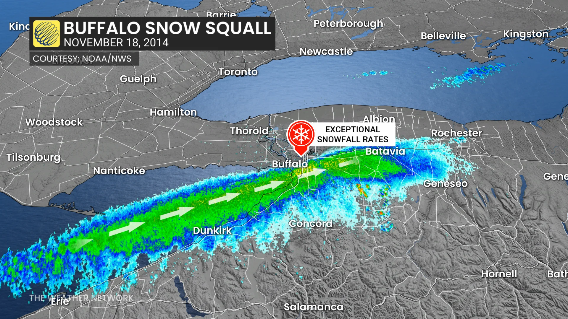
Stiff southwesterly winds blowing up the length of Lake Erie forced a thick band of very heavy snowfall to blow over the suburbs of Buffalo, New York, beginning that evening.
Residents reported thunder and lightning as snowfall rates peaked at nearly 15 cm per hour for a time. The edge of the squall was so sharp that it looked like a white wall blocking the southern horizon from downtown Buffalo.
Heavy snowfall continued through the day Nov. 18 before finally tapering off the morning of Nov. 19. An observer near the community of Cheektowaga reported a maximum total of 165.1 cm of snow, while Buffalo Airport picked up just 15.7 cm of accumulation.
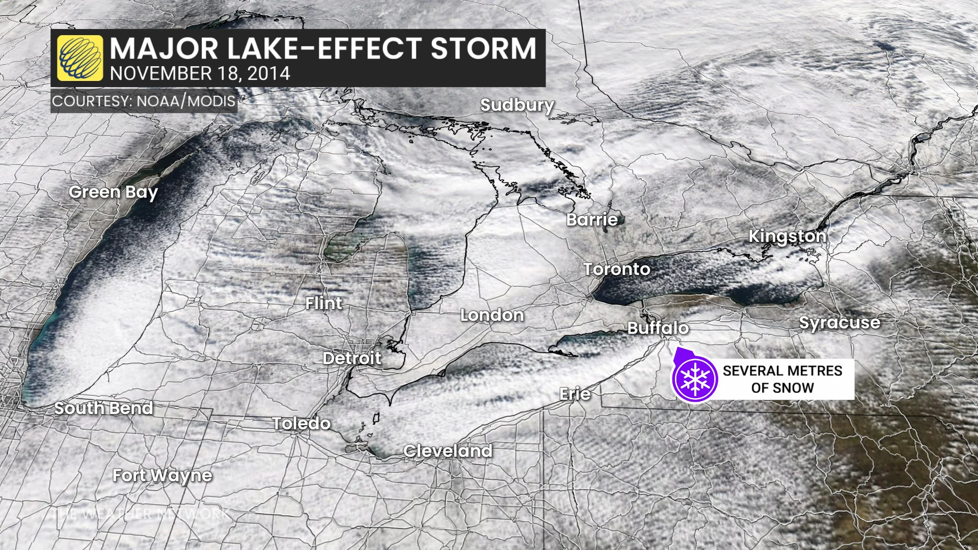
And then it happened again less than 24 hours later.
Another intense snow squall whipped off Lake Erie over the same communities south of Buffalo that were hit hard over the previous two days. Very heavy snowfall rates further buried communities that hadn’t yet had a chance to dig out from the first squall.
Some areas saw more than 2 metres of snow by the end of the ordeal later in the day on Nov. 20.
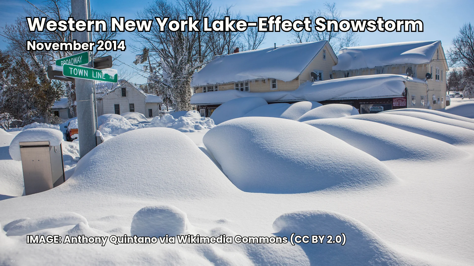
The highest report was 233.7 cm (92 inches, or 7.7 feet) of snow near East Aurora, New York, situated about 25 km southeast of Buffalo. The city’s airport totalled just over 40 cm of accumulation, while neighbourhoods just north of Buffalo saw just 10-20 cm.
While the location of the two squalls largely spared Ontario’s Niagara Peninsula from disaster, Fort Erie still picked up a formidable 29 cm of snow from the first squall.
New York officials closed most highways in the region for several days while snow removal crews worked around the clock. Schools remained closed for a week in the hardest-hit communities. News reports at the time stated that more than 20 people died in the wake of the storm, largely due to heart attacks while shovelling.
Header image courtesy of Shawn Smith/NOAA via Wikimedia Commons.