Rare mid-fall severe storms, tornado risk hit New York City area

A tornado watch remains in effect for parts of Pennsylvania and New Jersey through Thursday evening
A relatively rare threat for severe thunderstorms exists over densely populated portions of the U.S. Northeast on Thursday, including a risk for tornadoes.
Severe thunderstorms already prompted one tornado warning for parts of New York City during the early afternoon hours. Additional warnings and dangerous storms are likely through sunset.
DON’T MISS: Tornado warning safety: Here’s what you should do
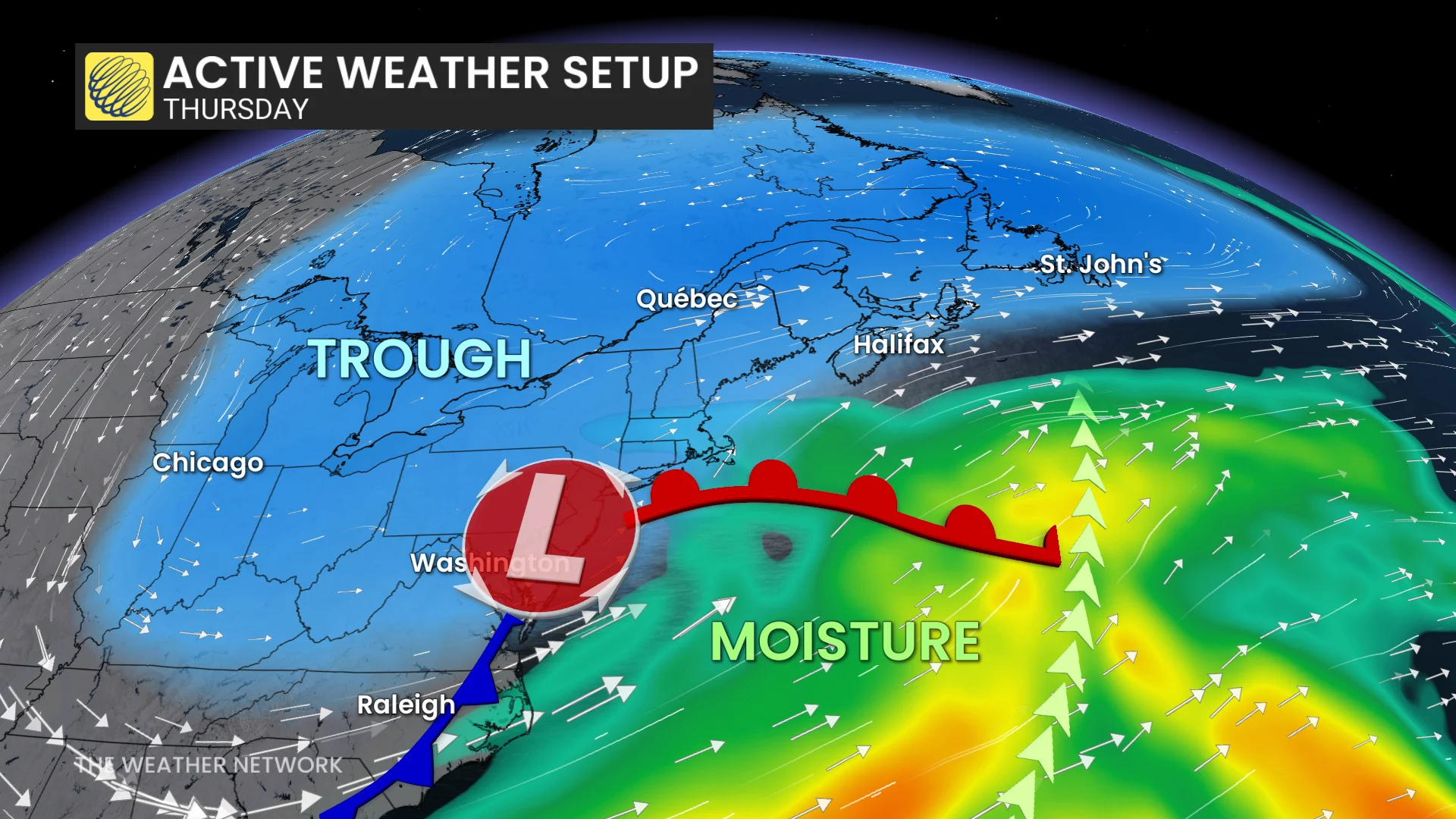
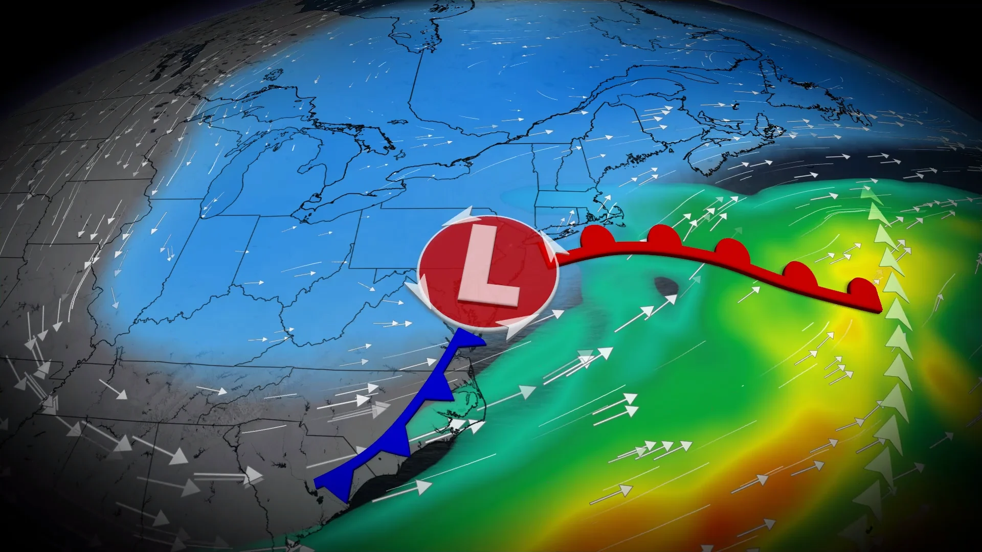
A low-pressure system that developed near Washington, D.C., on Thursday morning set the stage for thunderstorms across portions of the Interstate 95 corridor through the day.
Ample instability and wind shear allowed many of these storms to turn severe, capable of producing isolated tornadoes, hail larger than quarters, and damaging wind gusts of 100+ km/h.
Forecasters with the U.S. Storm Prediction Center (SPC) issued a tornado watch for a swath of the region until Thursday evening, including the cities of Wilmington, Philadelphia, Trenton, and Allentown.
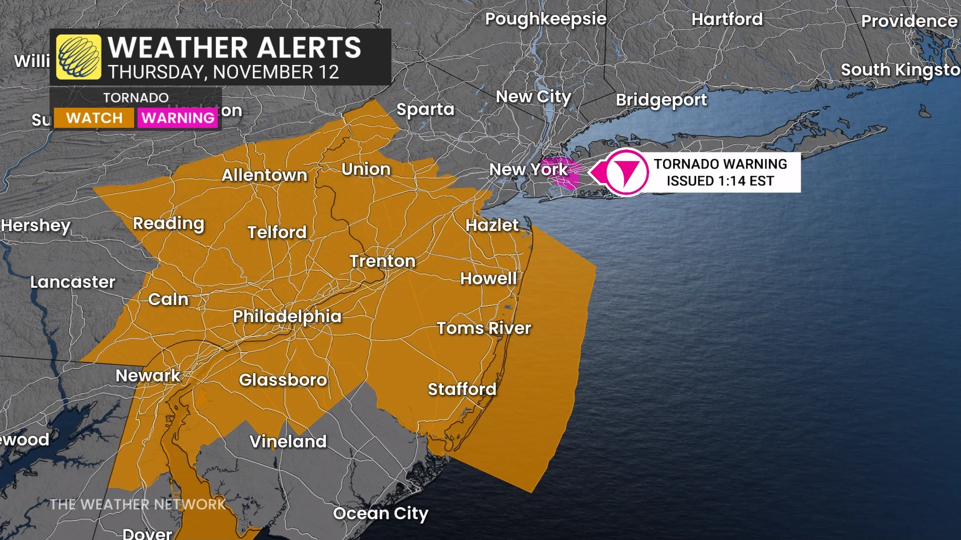
While not included in the tornado watch, a rotating severe thunderstorm prompted a tornado warning near New York’s JFK Airport early Thursday afternoon. The U.S. National Weather Service (NWS) warned that flash flooding was also possible in the region.
Expect significant and growing flight delays as the foul weather affects the region’s airports. New York City is one of the top destinations for Canadian travellers heading south of the border. More than 100 flights leave Toronto for New York’s LaGuardia Airport every week.
Organized severe thunderstorms are unusual in this region so late in the year. Most severe thunderstorms in the Northeast states occur between April and September.
It’s been five years since the New York metro area has seen this level of severe storm activity during the month of November. Only 13 tornadoes have been confirmed within the city limits since 1950.