Canada's polar vortex wild card is waking up much earlier than expected

Get the latest on the polar vortex, signs of its weakening and potential Canadian impacts before winter arrives. We break down what a weakening polar vortex could mean as winter draws closer.
An extraordinary disturbance 30 kilometres above the North Pole is the first wrench in the long-range forecast.
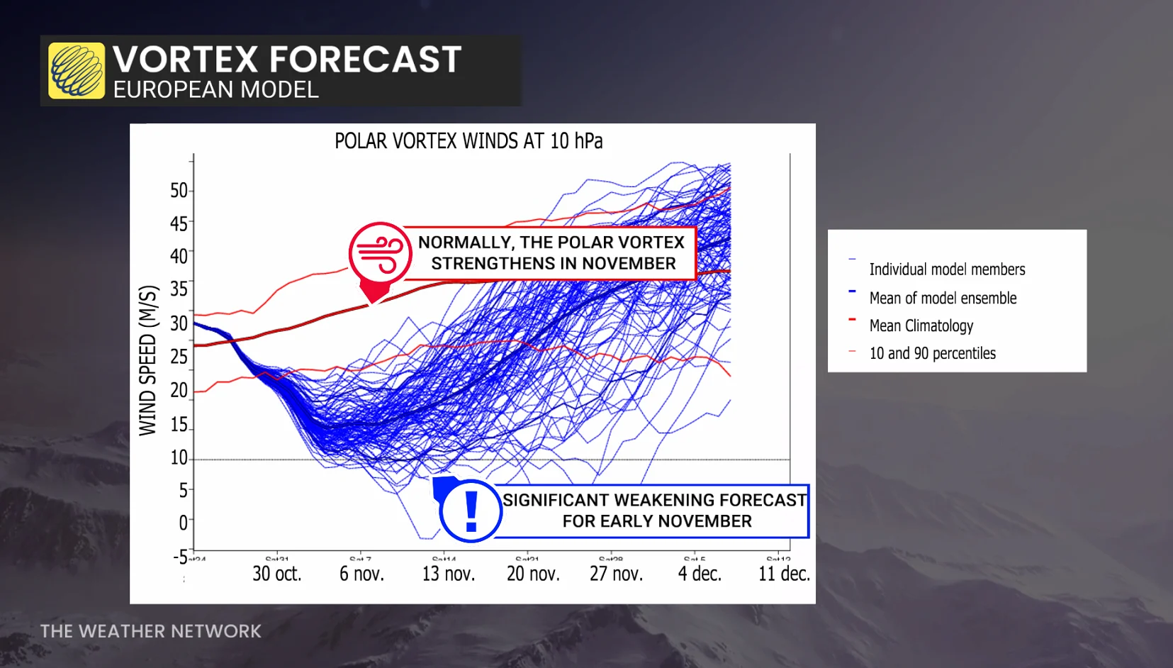
Just as the polar vortex should be ramping up for the season ahead, forecast models are now suggesting a significant derailment heading into early November.
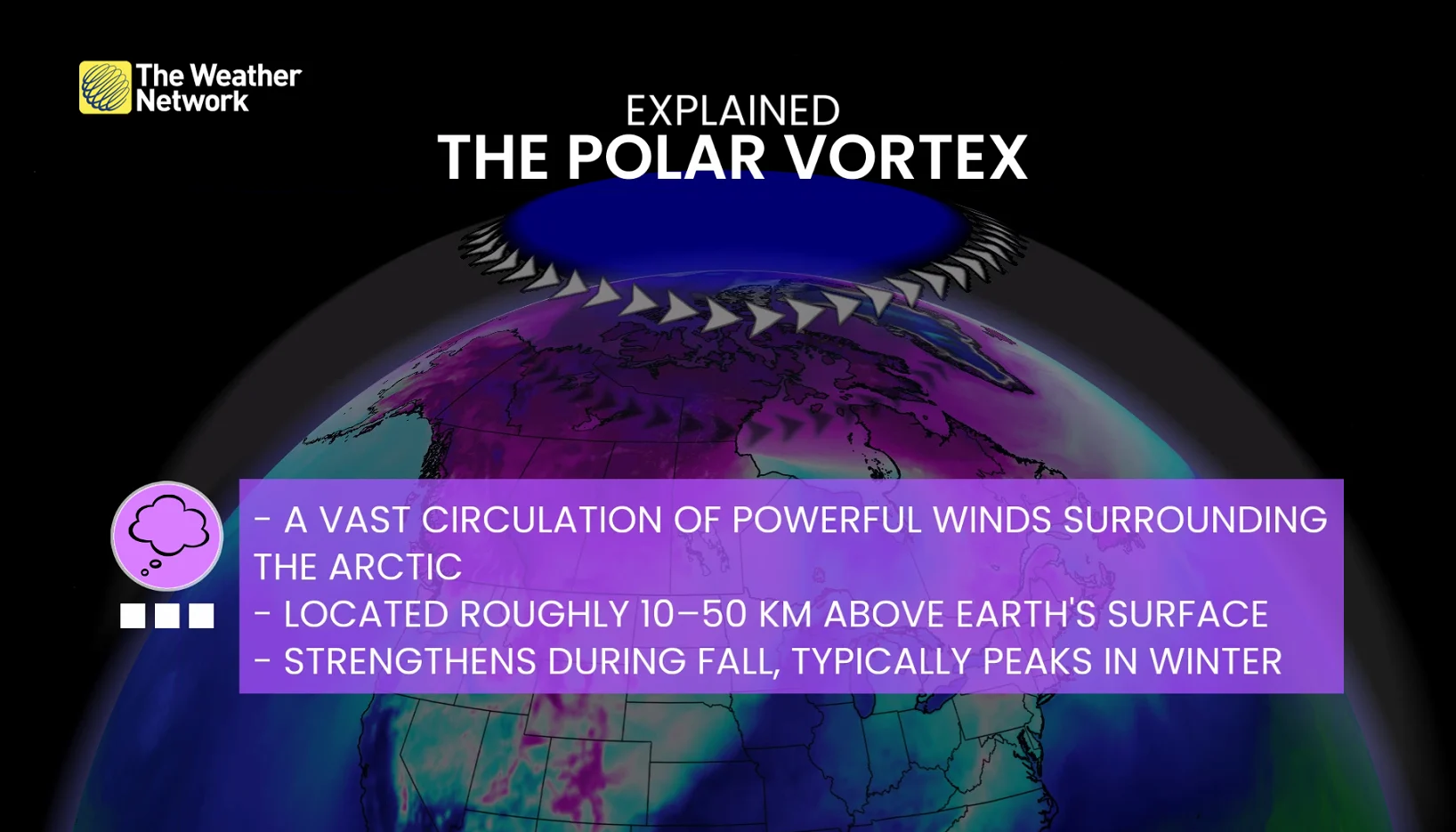
A few models even suggest a complete reversal of the powerful winds swirling around the Arctic, and another twist: This will come during a historically strong El Niño, which is forecast to deliver a milder winter across most of Canada.
The polar vortex is supposed to be gaining strength
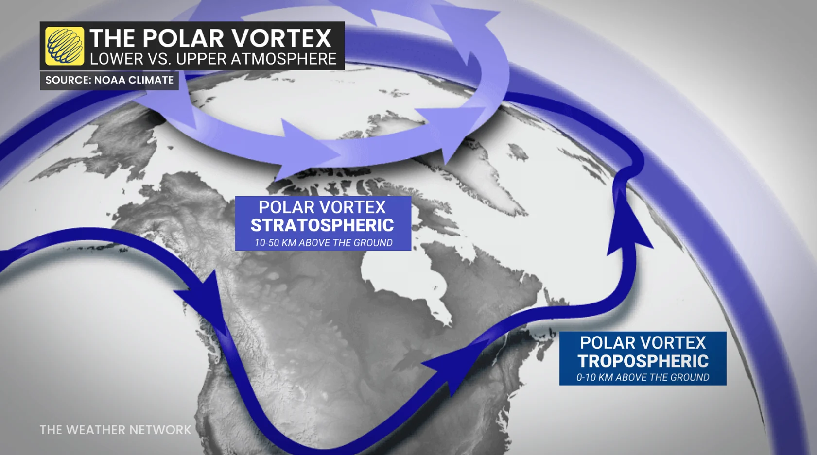
Every fall, the North loses sunlight and temperatures plunge, initiating a massive circulation of powerful winds high in the stratosphere.
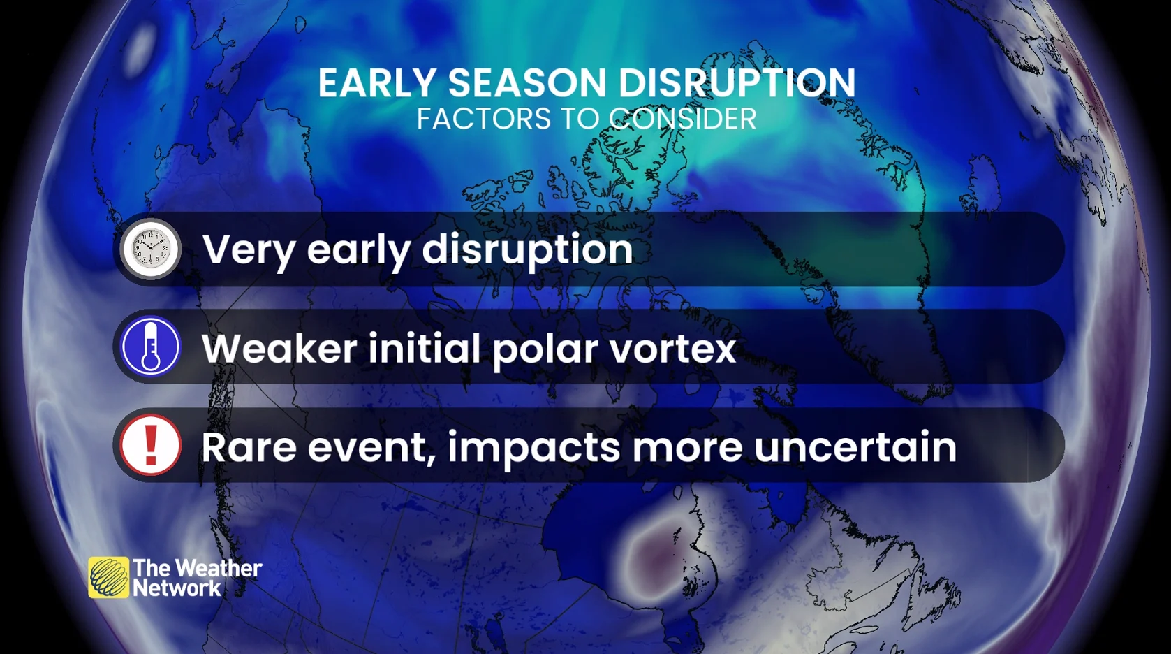
Now, the European model guidance is highlighting a potentially unusual weakening during early November, and it would approach historically weak levels for this time period. In fact, it could be a few weeks earlier than we have ever seen.
If the winds reverse, it’s known as a sudden stratospheric warming (SSW) event. This is not a given, and it's still unlikely, and models haven’t settled on the final outcome.
What’s causing the weakening?
In our recent sneak-peek article, the polar vortex was described as a massive, spinning top. When it’s strong, it’s organized, but powerful waves in the lower atmosphere can work to travel upward, disrupting the circulation.
Current forecasts show some wave activity working upward, and this transfer of energy may be enough to disrupt the vortex much earlier than is typical.
Could Canada feel the effects?
We might not have to wait the typical weeks to feel the effects, as impacts to the stratosphere take time to reach the surface.
This particular event seems to be developing from the bottom up. We see high-pressure ridges and atmospheric waves disrupting weather patterns close to the ground, and some of that energy is reaching the stratosphere.
Another way to frame it: The same atmospheric pattern that disrupts the vortex can also produce colder weather at the same time.
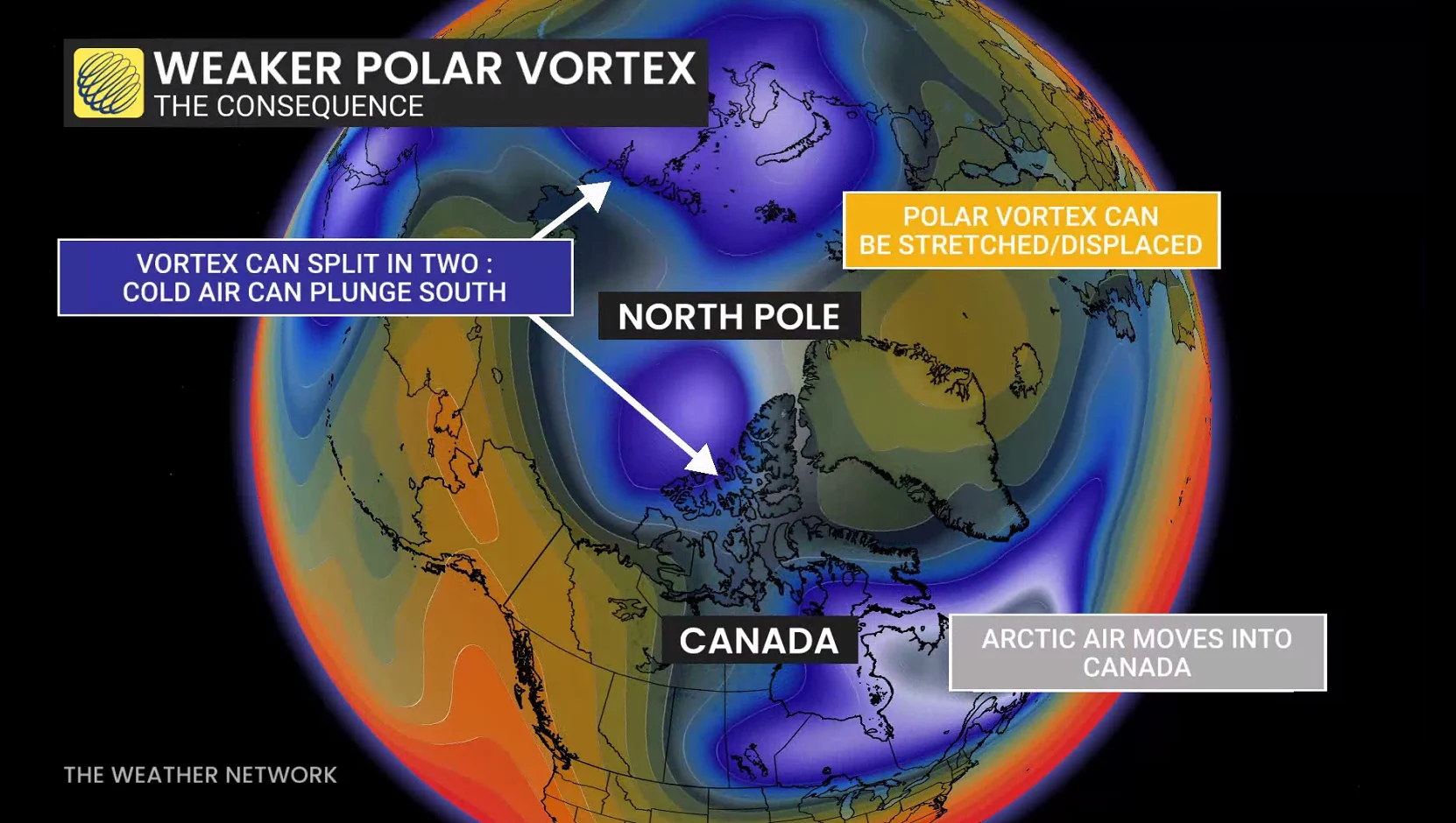
It’s a lesson that shows not every bout of colder air is tied to the polar vortex disruption. The pattern bears watching, because if the pattern aloft influences the lower atmosphere, it could reinforce or rearrange the set stream in November.
But none of this guarantees colder weather. The disruption could favour the colder air to slide into Europe or Asia.
Timing is everything
The Northern Hemisphere simply hasn’t had enough time to chill a deep reservoir of Arctic air that’s available in January and February.
November has a more limited supply; therefore, a disruption in January and February is more consequential.
The El Niño paradox: Can a mild winter still deliver brutal cold?
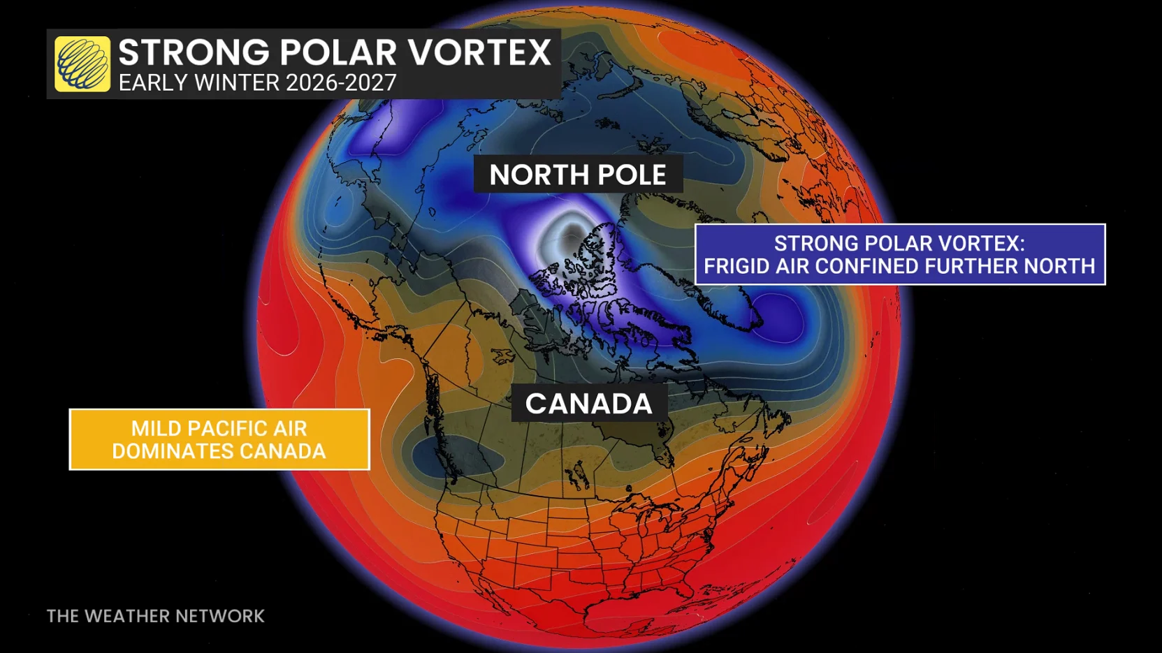
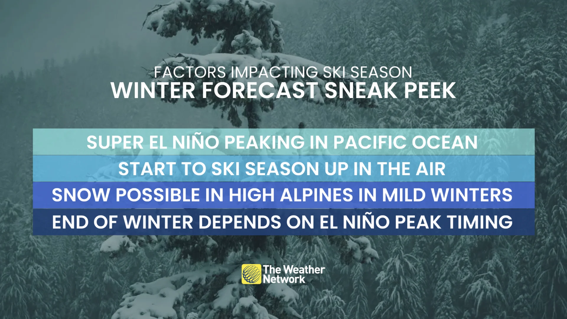
This is where our winter sneak peek becomes relevant. Our forecast ideas haven’t changed, and they will favour a mild start to winter across much of Canada, in part, thanks to an exceptionally strong El Niño.
But El Niño does have a unique relationship with the polar vortex, and as we explained earlier this month, strong El Niño events can reshape the circulation over the North Pacific, favouring larger waves that have a chance to disrupt the stratospheric polar vortex.
Research is still ongoing, but the response to the stratosphere can become more pronounced during stronger El Niño events.
So, Canadians should still have their guard up, as there can also be opportunities for disruptions that increase the risk of cold-air outbreaks later in winter.
Will our winter forecast change?
No. An unprecedented El Niño will lead to surprises, and one unusual, stratospheric disturbance doesn’t invalidate an entire seasonal forecast.
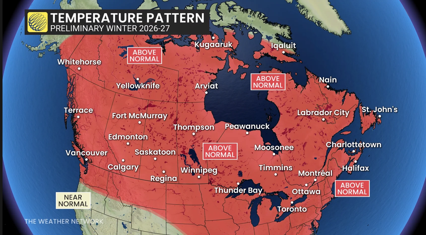
El Niño will remain an important and primary driver for the winter forecast, and the signal for a milder-than-normal start is still the compelling choice.
The forecast during the next four weeks will be more interesting to track, as a rapidly weakening polar vortex introduces an element of uncertainty.
Three things to watch
Does the vortex actually reverse? A weakening is one thing, but a dramatic, early-season reversal would be a significant disruption to the atmosphere at this stage in the season.
Will impacts work down into the lower atmosphere, increasing the odds of surface impacts?
How and where will the jet stream respond? Even a major SSW doesn’t guarantee cold in Canada; it’s the position of the ridges and troughs that have the final say.
An unusually warm winter remains our leading forecast for the season ahead, but it doesn’t completely remove the threat of significant outbreaks of Arctic air.
We can guarantee this won’t be the only surprise for the season ahead, so check back for our full winter forecast release on Nov. 26.