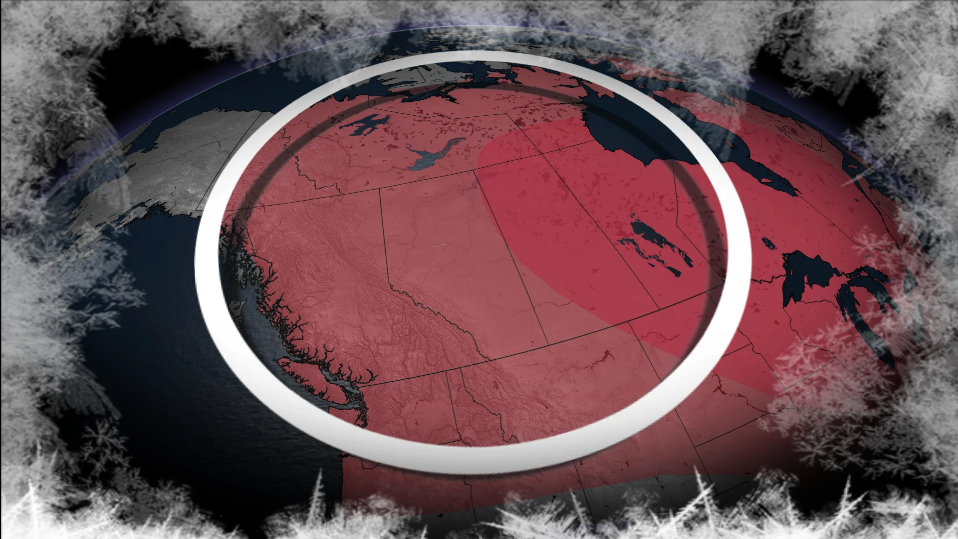
El Niño in charge this winter, so what does it mean for Western Canada?

Get an early look at the upcoming winter forecast for Western Canada. Learn how Pacific Ocean temperatures, El Niño, and the polar vortex will influence weather patterns, including temperatures and storm tracks.
A complex 2026-27 winter season is expected across Canada, with both a record El Niño and a threat of the displacement of the lobe of the polar vortex in play.
El Niño, the powerful Pacific pattern, is likely headed toward historic heights in the next few months. The "super" El Niño could significantly affect how much snow falls across Canada this winter. As a result, many ski resorts will likely see negative impacts.
WINTER SNEAK PEEK: El Niño puts record warmth in play
But don't count winter out, especially in Western Canada. Here's a sneak peek of what to expect this winter in the West.
El Niño runs the pattern this winter
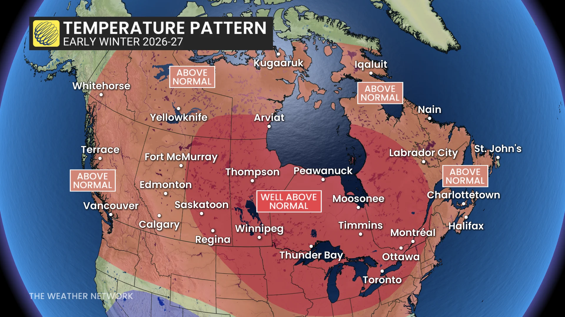
A warmer-than-normal start to the 2026-27 winter season is forecast across Western Canada. The theme of the upcoming season: El Niño runs the pattern this winter.
RELATED: El Niño vs. the polar vortex: Canada’s winter wild card is waking up
Historically warm Pacific waters have a profound impact on global weather patterns, including here in Canada.
El Niño will allow for warmer-than-normal temperatures to dominate more often than not, especially in Saskatchewan and Manitoba.
However, don't count out winter showing up at times. It just won't “lock in” in the early part of the season.
A weaker-than-normal polar vortex is expected this winter, potentially allowing for quick shots of impactful cold.
And remember: Snowfall is normal in the late fall and early winter, especially in the high elevations and across the Prairies.
Wet weather could hit southern B.C. at times, but lower amount of storms on the Prairies
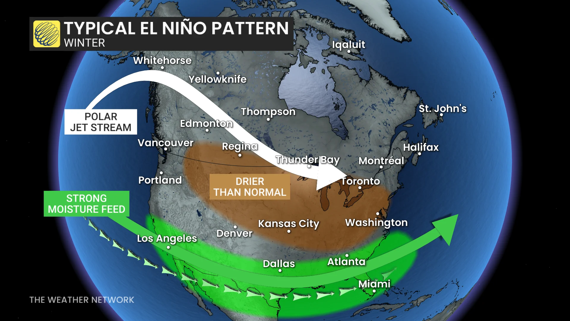
El Niño also affects precipitation patterns, and strengthens the subtropical jet stream into the U.S. Southwest.
RELATED: Winter snowfall across Canada may fall victim to El Niño
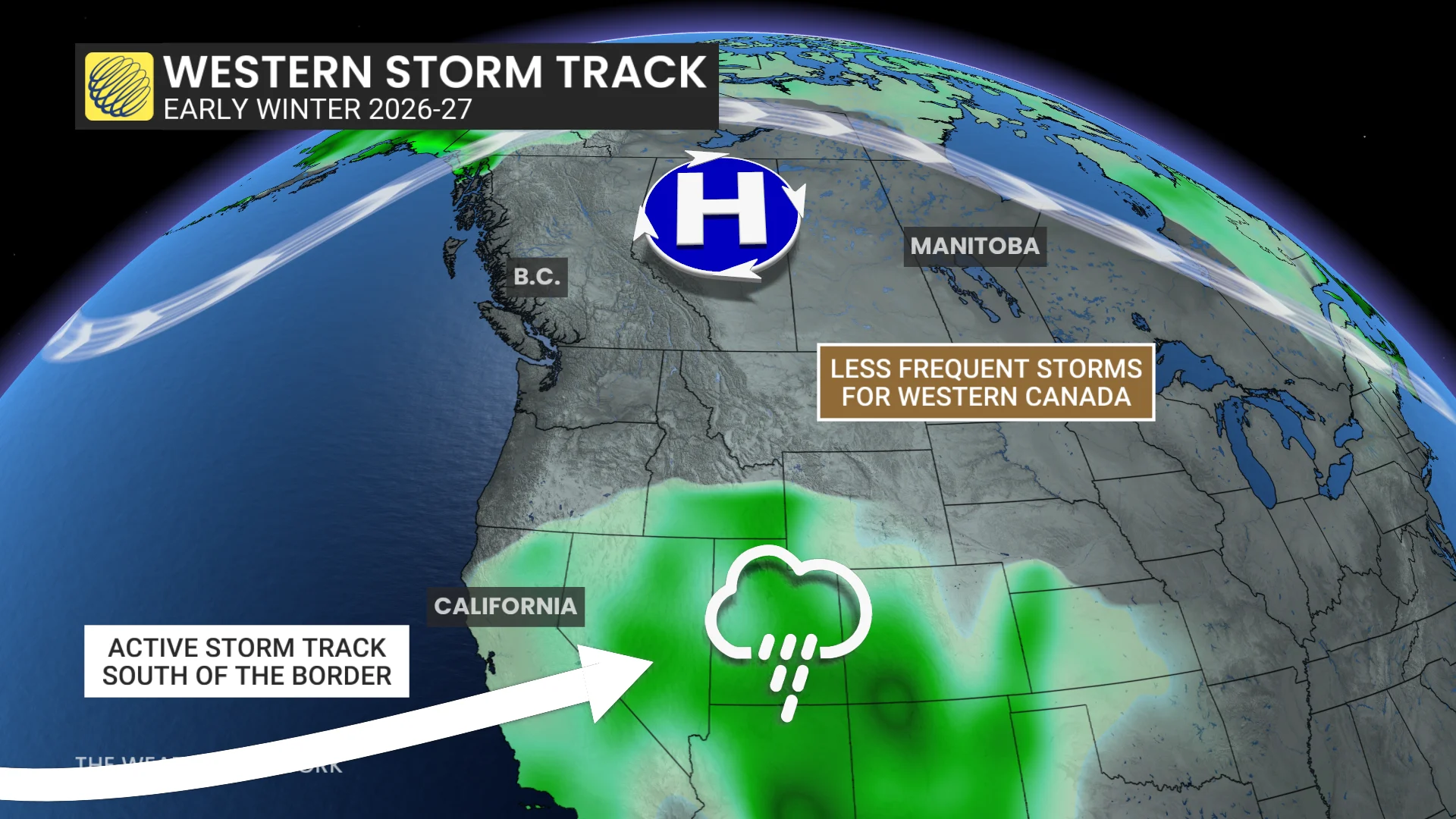
There is an above-normal precipitation signal in this region of North America.
This wet weather could move up and down the West Coast, at times reaching into southern B.C.
That means it won't be a favourable pattern for precipitation on the Prairies, so winter storms will be less frequent than usual.
So, the 2026-27 ski season will start on a shaky start, with an up-in-the-air status.
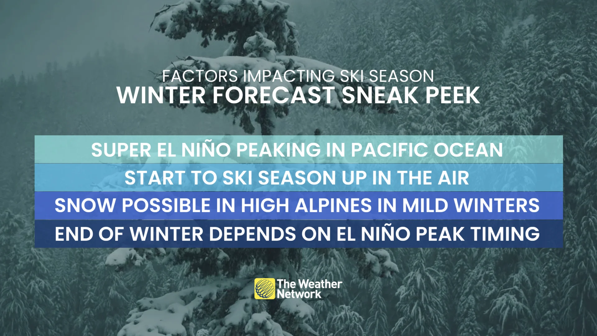
Alpine regions could see snowfall but they will be reliant on high elevations staying below the freezing mark.
But milder doesn't always mean quiet.
Canada’s traditionally colder regions and higher elevations can still score heavy snowfall, even during a mild winter.
We will be watching for when El Niño peaks and begins to weaken this winter. A faster fade could mean a more wintry end to the season.
With files from Rachel Modestino, a meteorologist with The Weather Network.