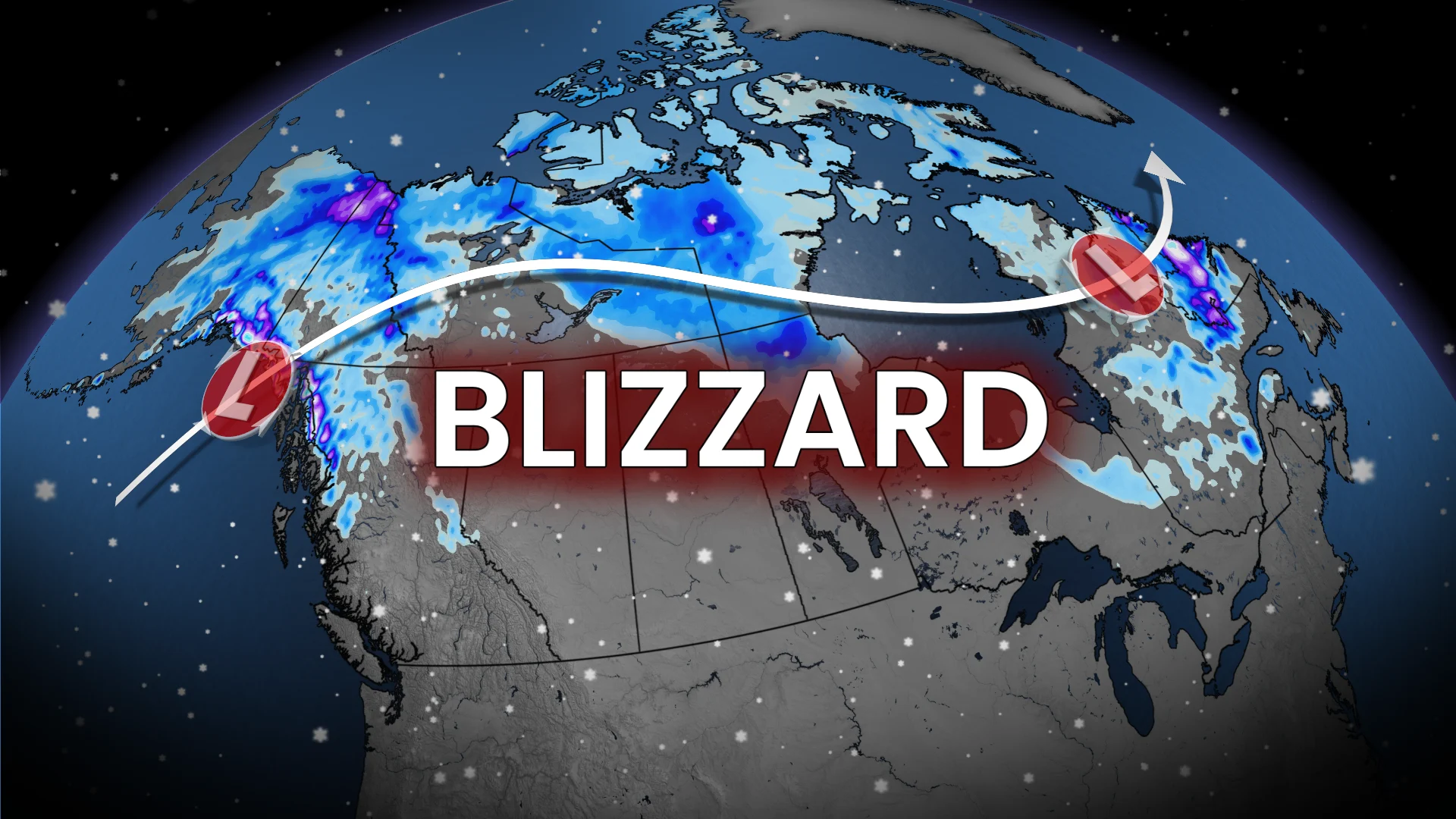
First blizzard warning of the season for major Canadian highway

A powerful low pressure system ushers in the season's first significant winter storm for northern Canada
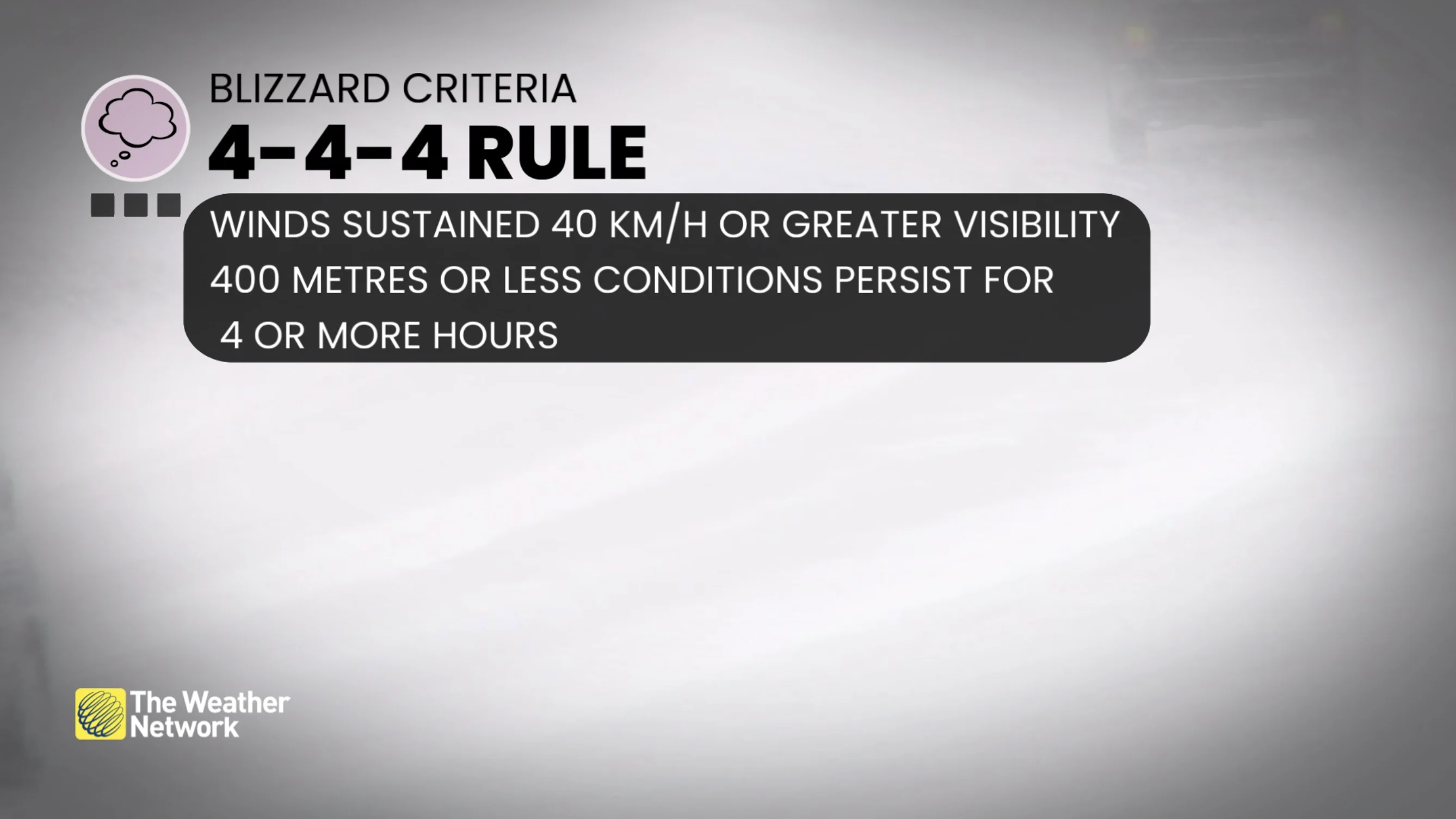
Canada's first blizzard warning of the season emerged Sunday, October 4, along the Dempster Highway in Yukon, triggered by strong winds and blowing snow.
DON'T MISS: It’s back! Snow set to fly in Eastern Canada this week
The same day, temperatures in Yukon and Nunavut also dropped to -20°C—the first recorded this season. In recent years, similar temperatures were observed by late September.

We usually have to wait until deep winter however, to get temperatures that cold to extend farther toward the south.
Blizzard conditions are expected to redevelop Monday morning, lasting through the overnight.
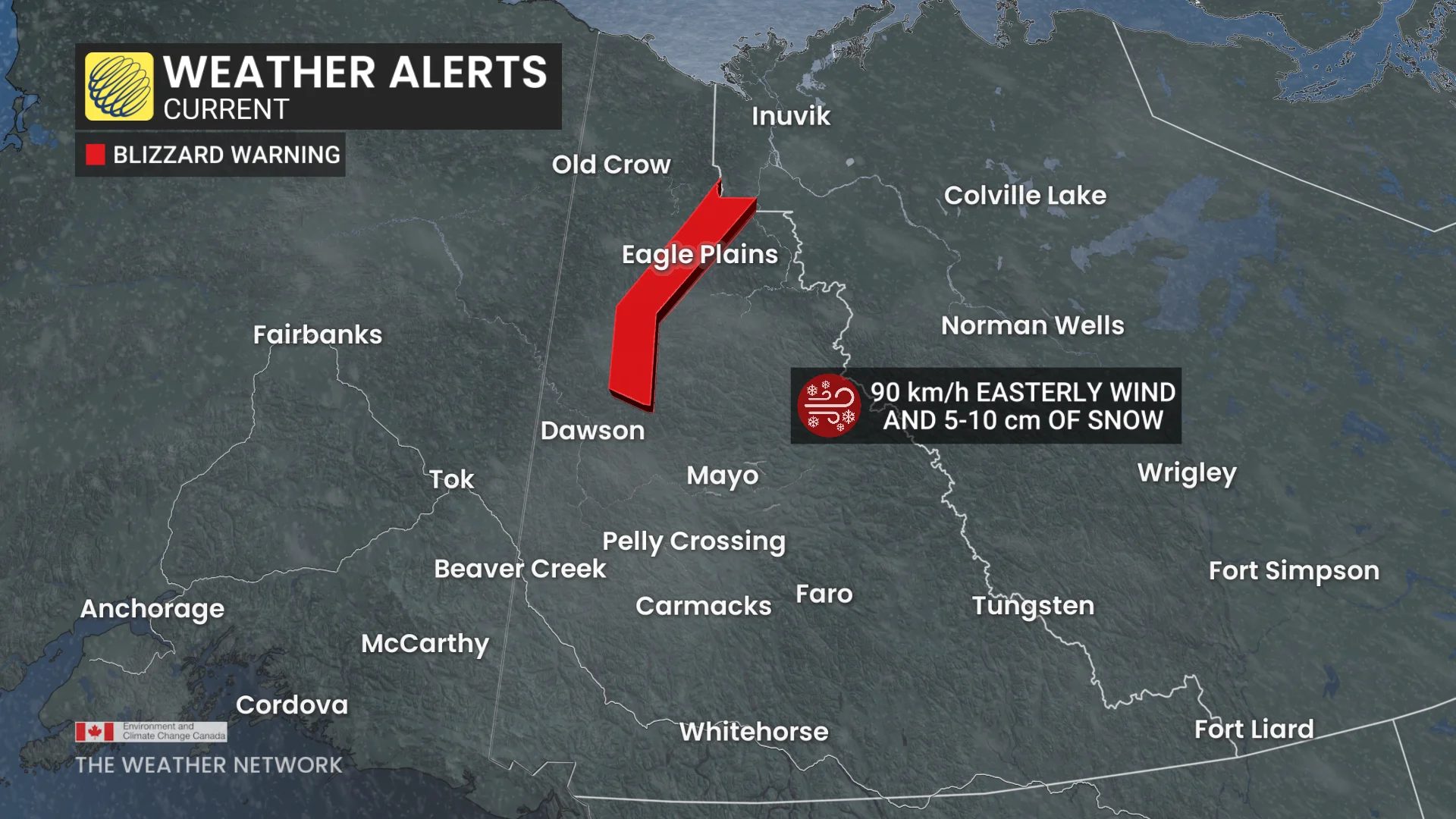
A low pressure system in the Northwest Territories is funnelling snow flurries and strong easterly winds into northern Yukon.
Snowfall accumulations are forecast to reach 5-10 cm, with wind gusts up to 90 km/h, creating blowing snow and reduced visibility.
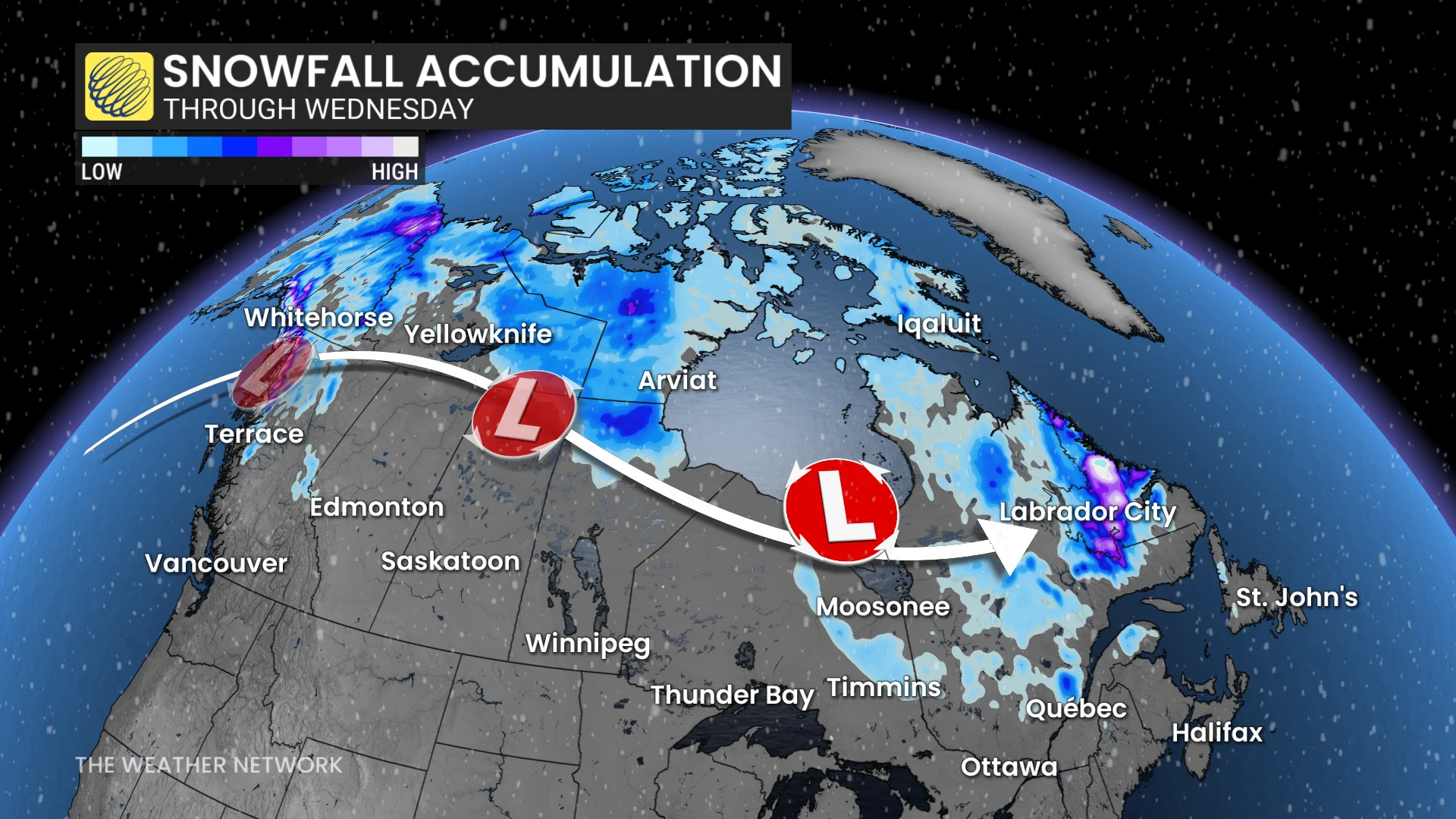
Motorists should prepare for challenging travel conditions in affected regions.
DON’T MISS: With a 'super' El Nino, does that guarantee late-fall warmth in Canada?
"Travel will likely be hazardous in some locations. Road closures are possible," says Environment and Climate Change Canada (ECCC) in the warning. "If driving, turn on your lights, slow down and maintain a safe following distance."
More snowfall is possible mid-week as another low pressure system moves in from Alaska.
Stay updated for the latest weather alerts, and check road conditions before venturing out.